Timing Out Tuesday’s Snow
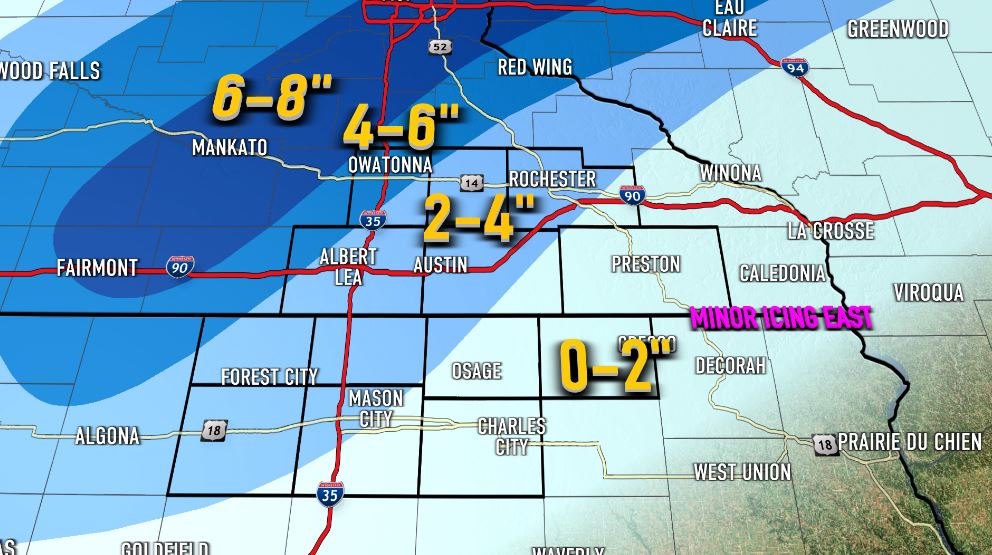
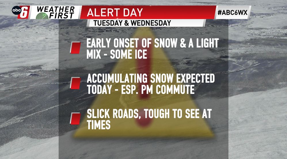
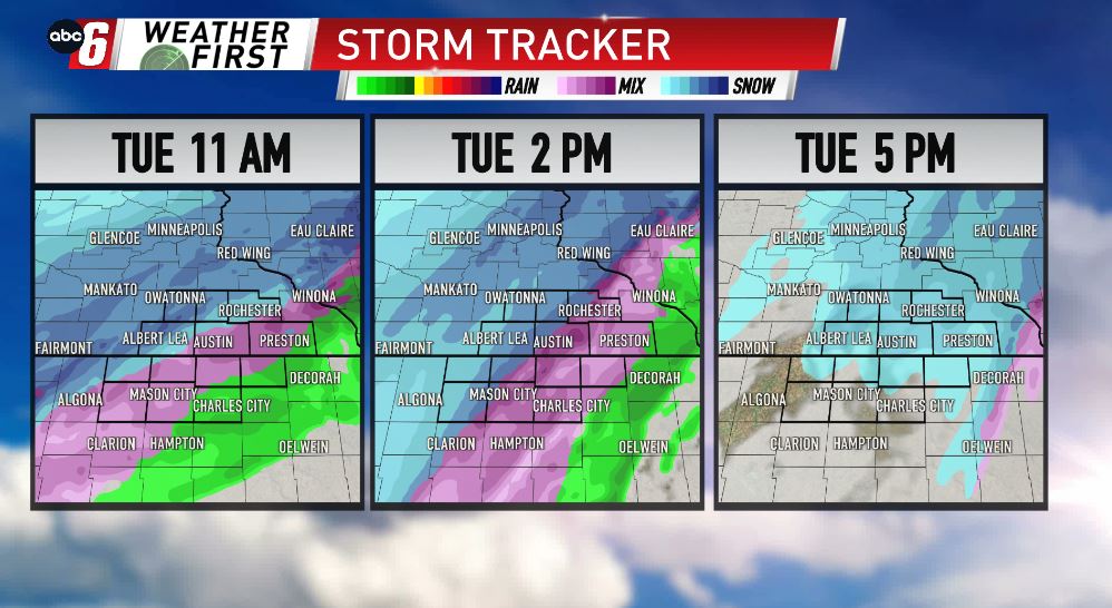
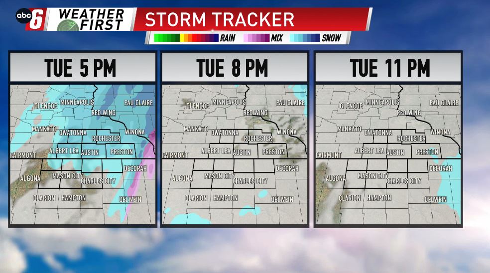

Look for an early onset of rain/snow/ice to fall south of I-90 this morning. This will really limit how much snow we see in our northeast Iowa communities. Snow won’t have a problem falling though to the northwest, especially from Fairmont, to Mankato, to the Twin Cities, where the highest totals are expected. In between, snow will be likely for everyone, coming down very steady, even heavy for some at times this afternoon, wrapping up by 8 PM. Lesser amounts are expected to the SE, where more of a rain/snow mix is looking likely, cutting back on the overall snow potential. Most of the Weather First Viewing Area is in between the highest & lowest marks, which means a good 2-4″ is looking pretty likely for the area.