Tracking Thursday night – Snow potential
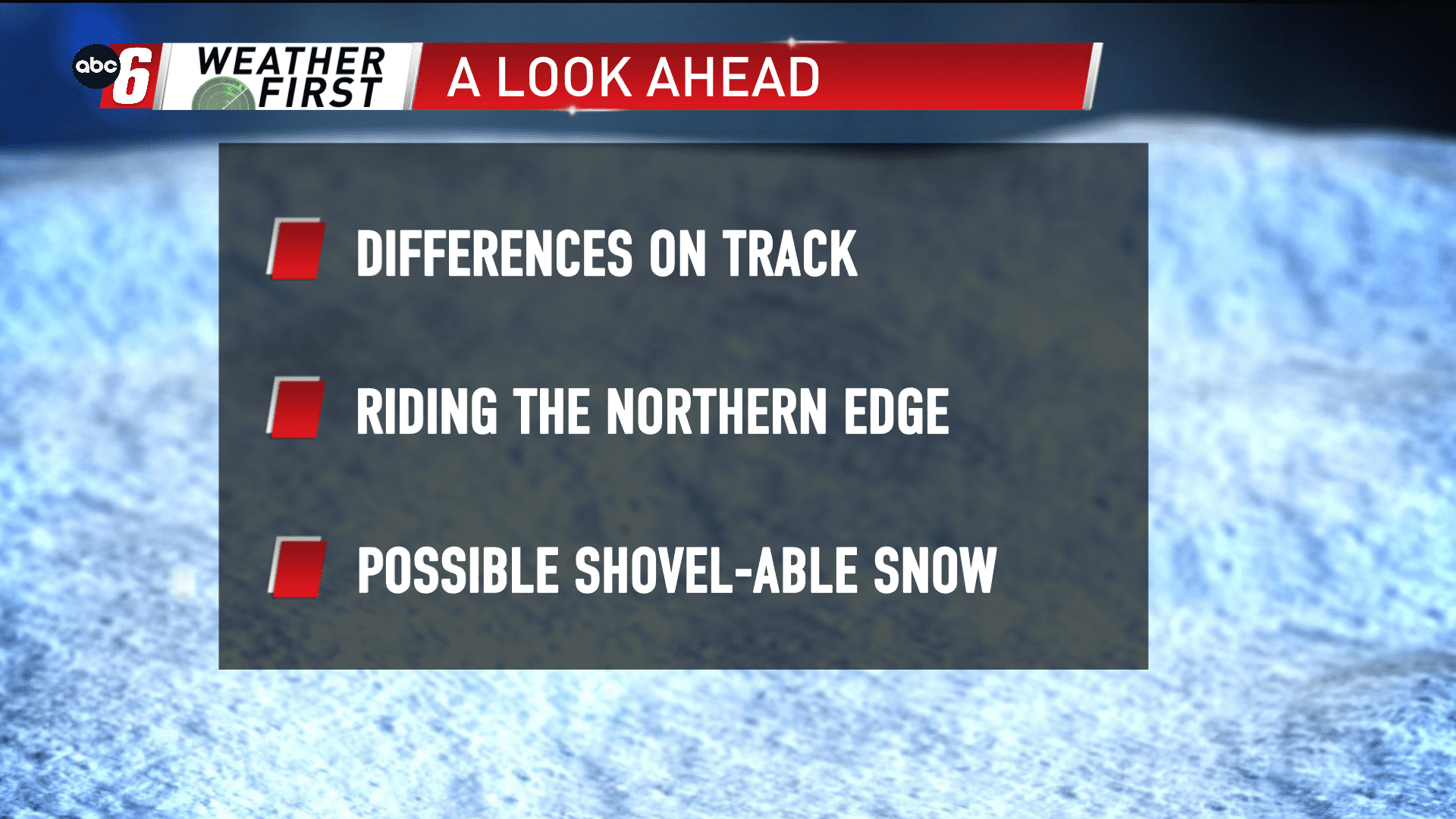
There’s a considerable amount of disagreement in the going data for Thursday night into Friday. But a larger storm system is expected to cut through the middle of the country. Southern Minnesota and northern Iowa appears to be riding the northern extent of this storms potential.
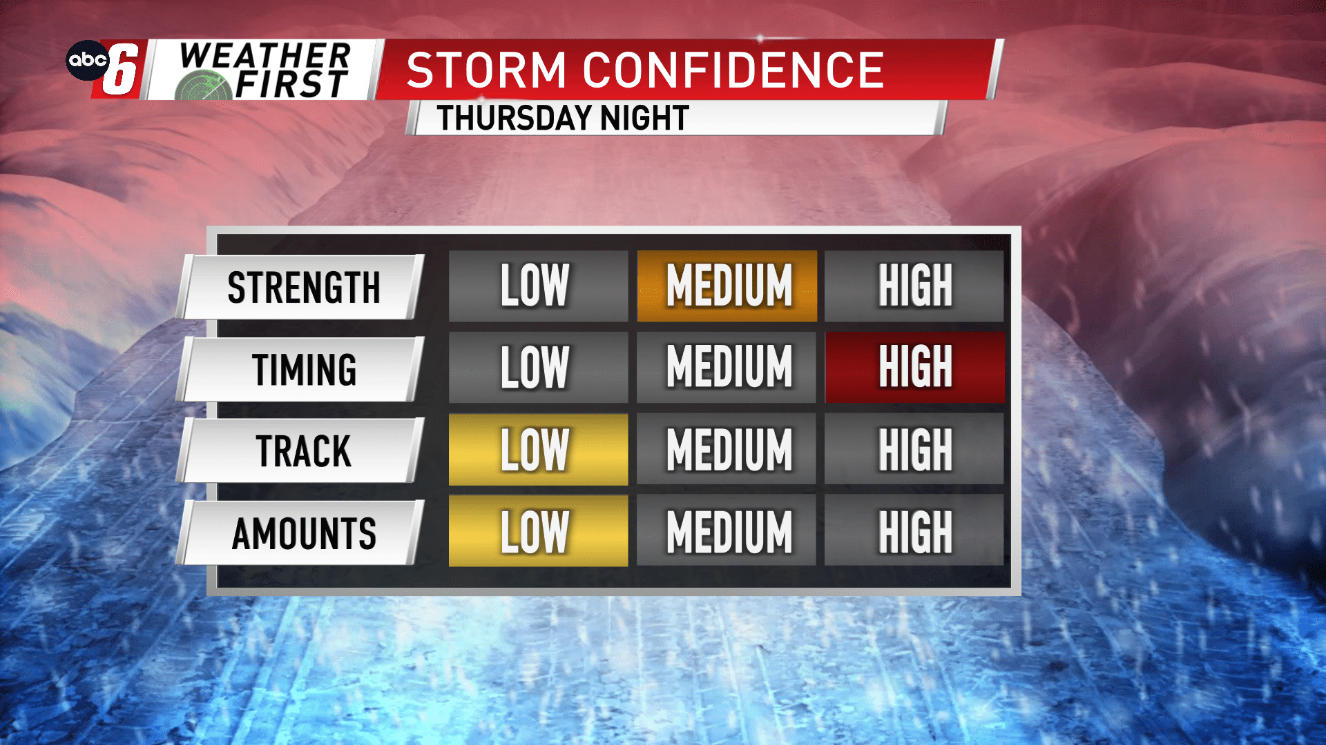
The disagreement mainly surrounds the track on which this storm takes. The northerly trend brings a snowy forecast to our area. The most southerly set of data keeps things pretty quiet around here.
With the inconsistencies in the data, we can’t say more than there’s a possibility for plowable amounts of snow. Timeframe looks to be the Thursday night into Friday morning timeframe to see this system slide through. We’ll continue to watch the data come in and formulate a more specific forecast going forward.

