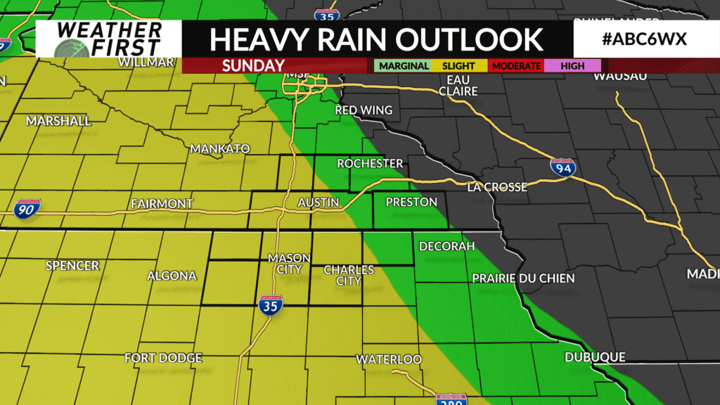
Sunday Showers
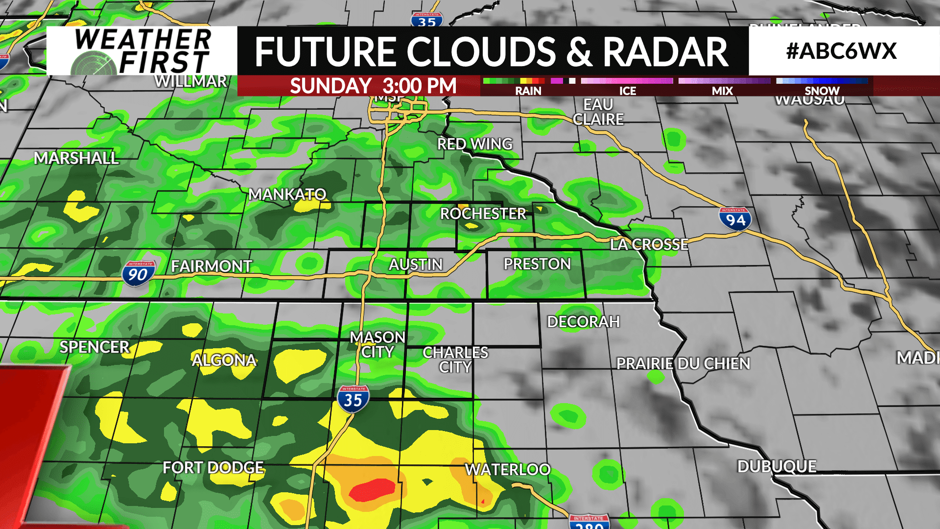
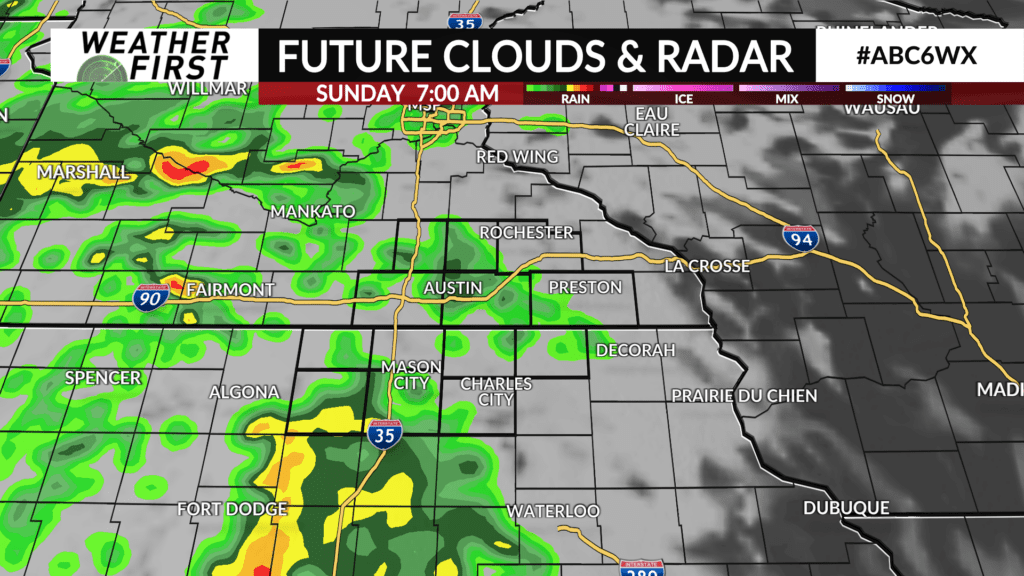
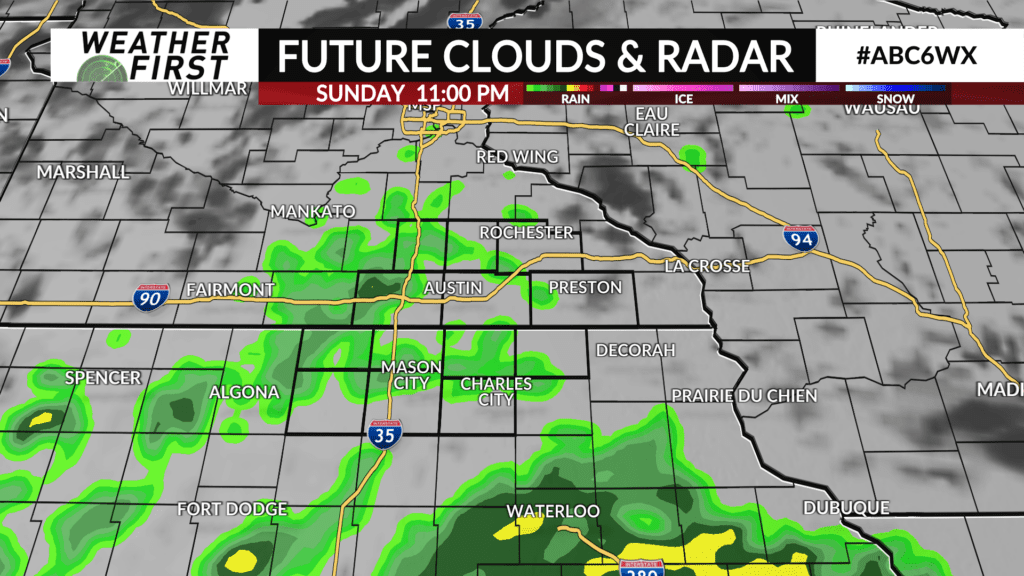
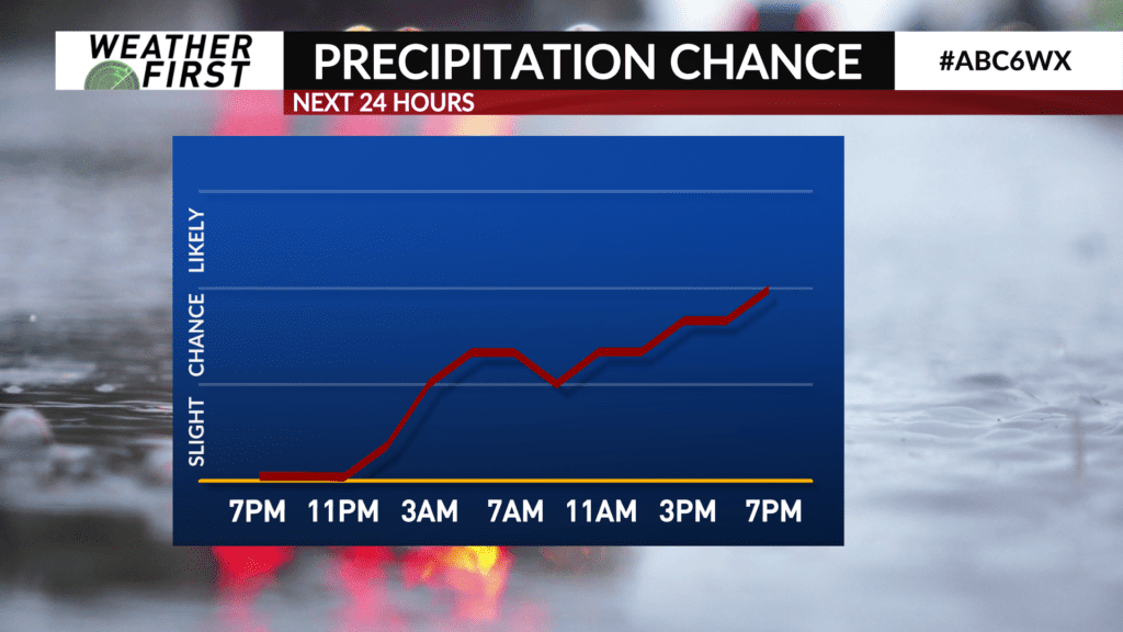
Strong to severe storms weaken through Saturday before approaching our area. Rain arrives late Saturday and continues on and off all day Sunday. A few of these showers could linger into Monday morning, but most likely we are dry by the morning commute.
Severe weather is not expected locally. The cold front and warm front both stay south of us, so we won’t be tapping into the peak instability. The only concern from these showers would be flooding due to the slowness of this system. Although, odds of any flooding taking place are slim.
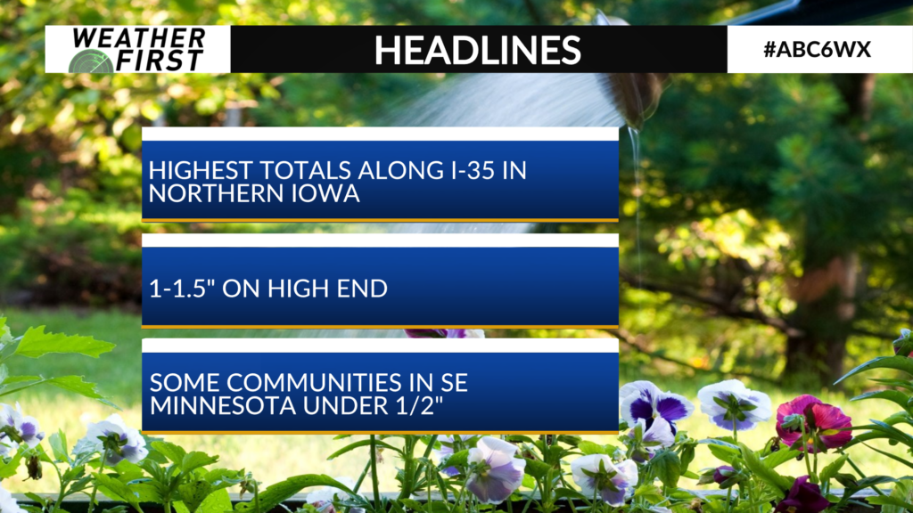
Several of us are expected to top 1″ in rainfall by the end of the day Sunday. If you live closer to Rochester or Preston, you’re more likely to end up closer to 1/2″ rather than 1″ (if not lower). The highest totals are most likely to be around I-35 in northern Iowa.
One big factor that could impact rainfall totals will be the location of the center of low pressure. If we can get the low to track farther north towards us, then that will increase rainfall potential. Although, the low is more likely to track south of our area, but still close enough for us to get rain.
