Wintry weather to bring snow accumulations and slick travel

The calendar says February and that means it is still winter although it sure hasn’t felt or looked like it recently.
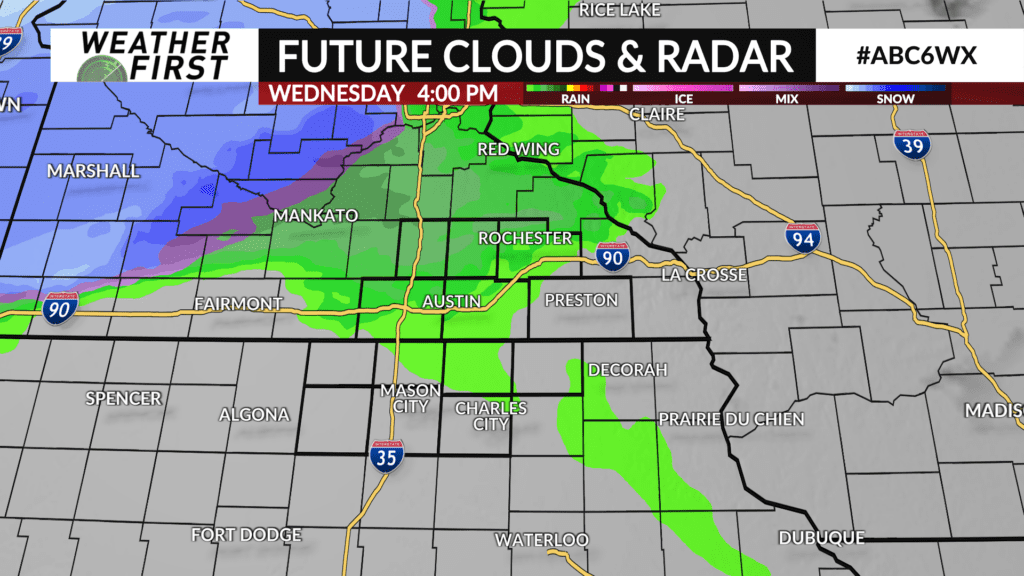
A potent clipper system will track into the area on Wednesday afternoon. Temperatures will be in the 40s so precipitation will start as rain sometime after 3:00 PM for areas generally near and north of I-90.
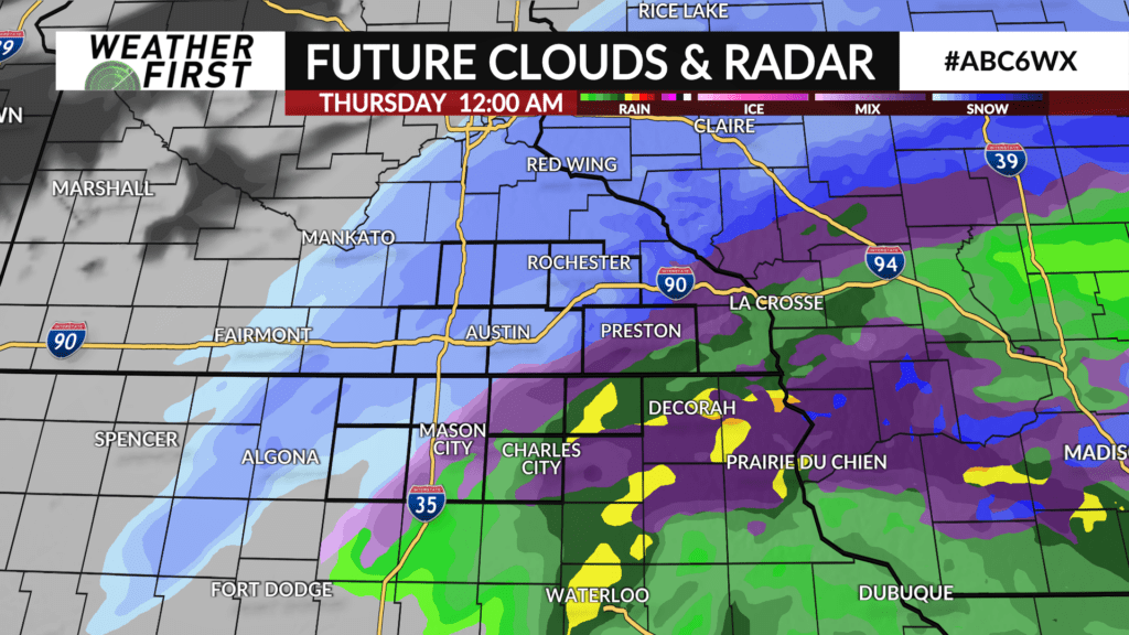
Precipitation will fill in across the entire area as the evening progresses and as temperatures cool off, any rain will mix with and eventually change to snow from west-to-east with snow ending across the area between 3-5:00 AM.
Snow accumulations of 1-3″ is likely for most of southeast Minnesota. A narrow band of 3-5″ is possible just north of the local area near and south of the Twin Cities. Rain may limit amounts further south into northern Iowa where most will see one inch or less.
Roads will become slick once the snow falls and although the snow will have ended by Thursday morning, the commute will likely be slippery so take extra time and plan ahead.