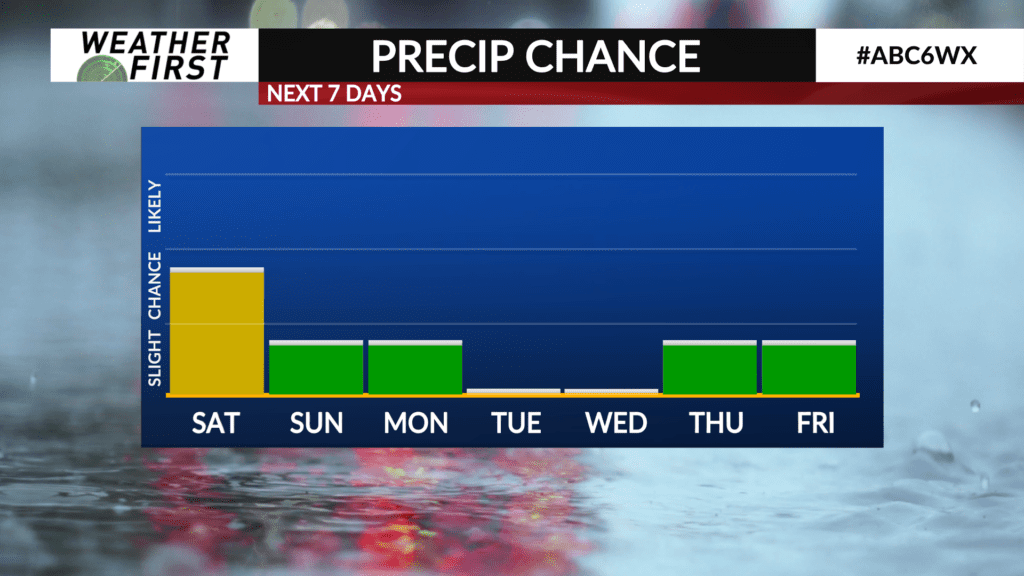
Tropical moisture and rain chances this weekend
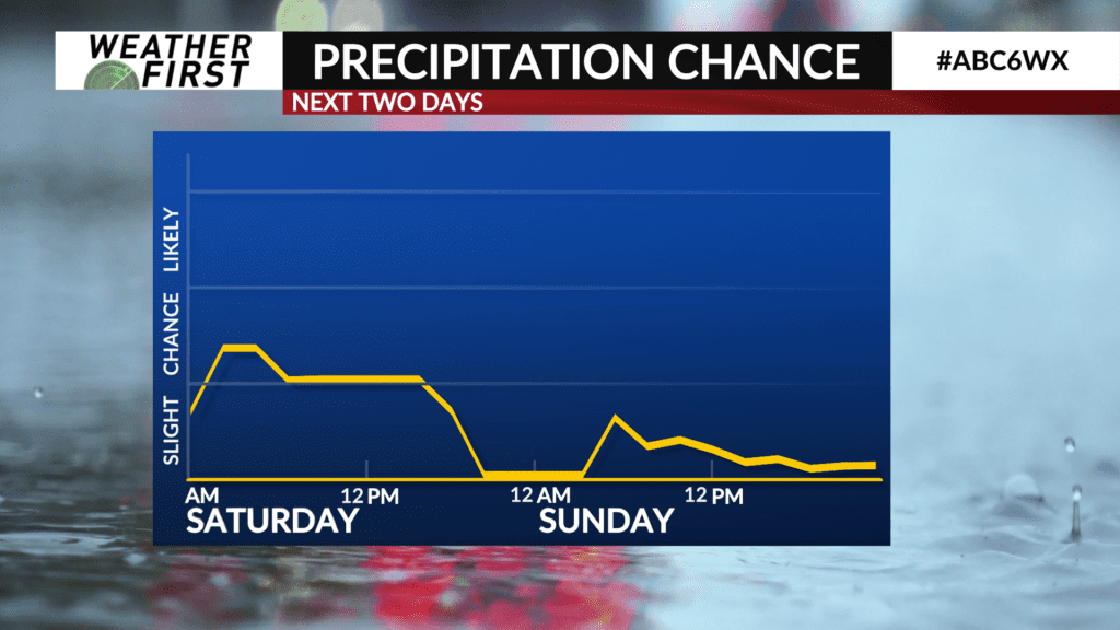
It has been a while since we have had any decent rain chances across the Weather First area, but that changes tonight and Saturday.
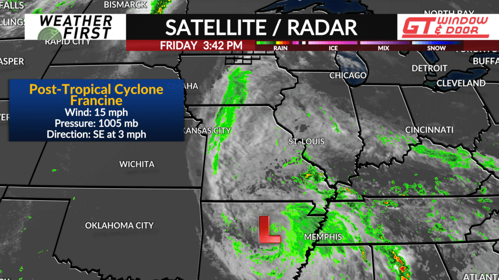
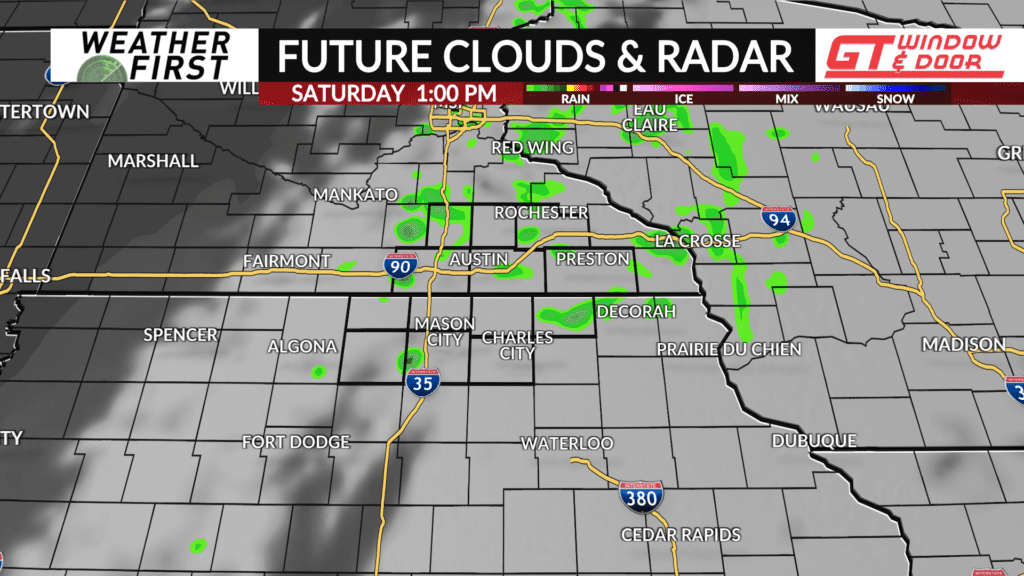
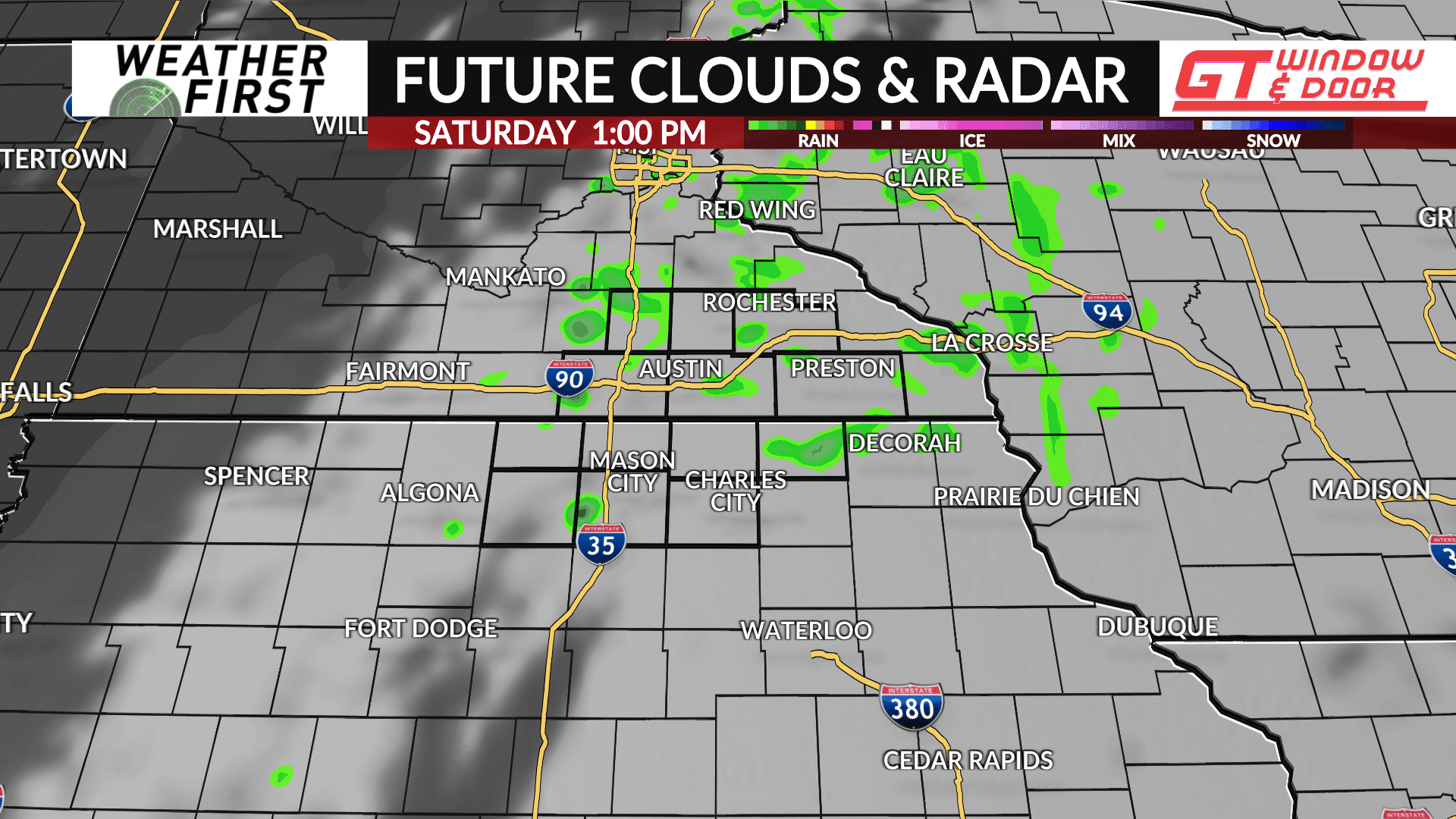
The remnants of what was once Hurricane Francine are continuing to sprawl out across the lower Mississippi River Valley this evening, with fragments of energy and moisture making their way northward across Missouri and Iowa.
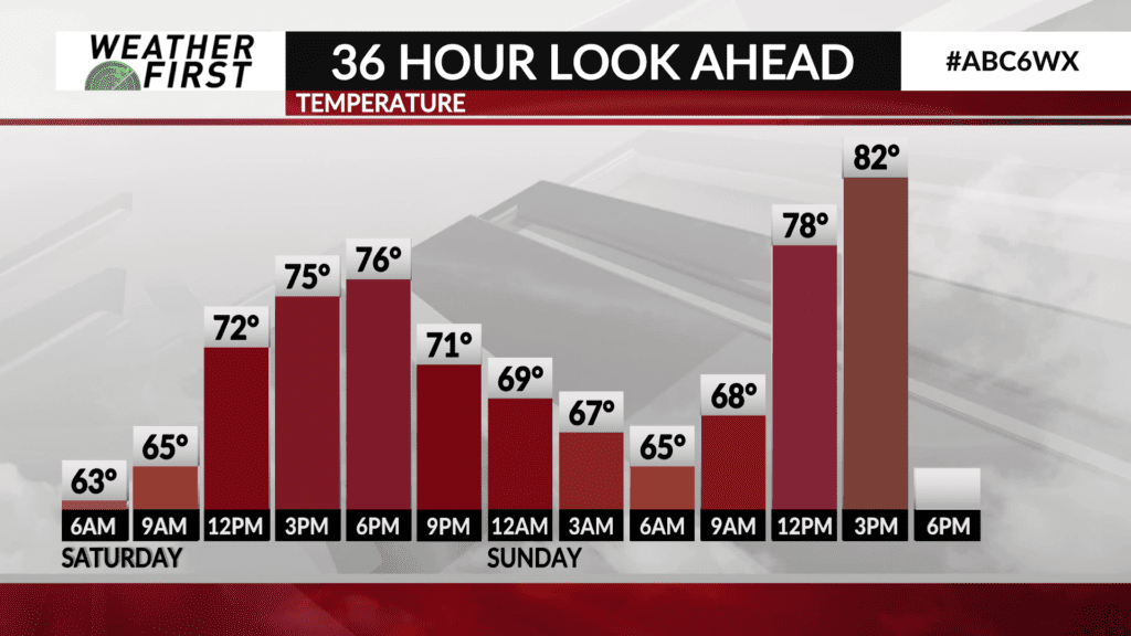
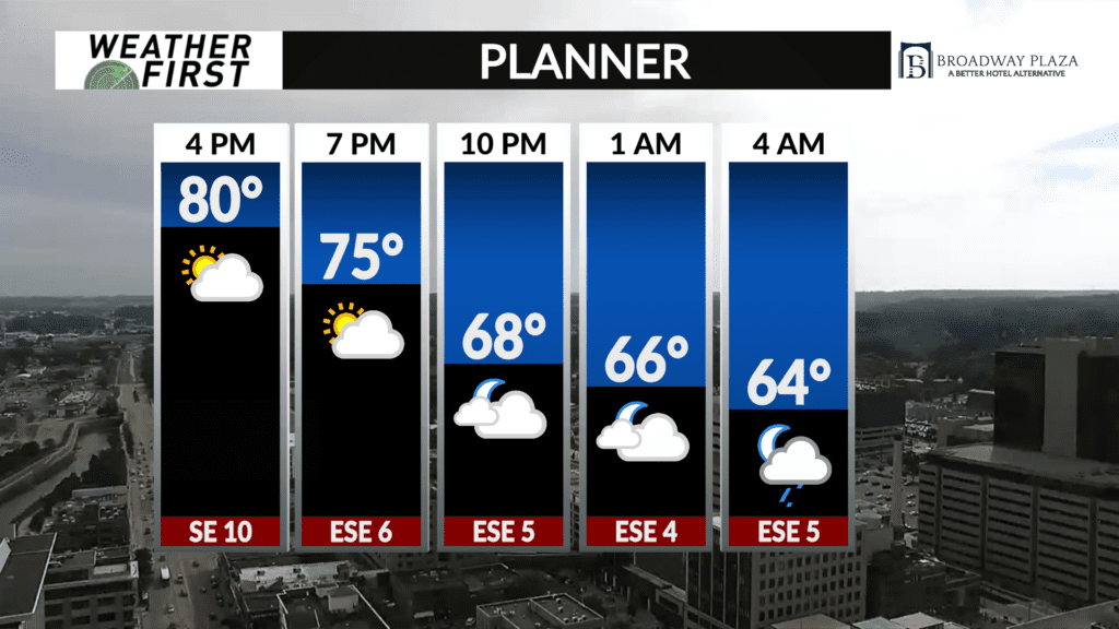
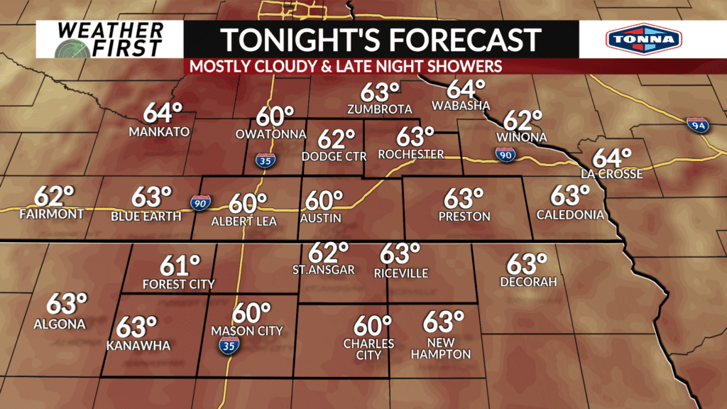
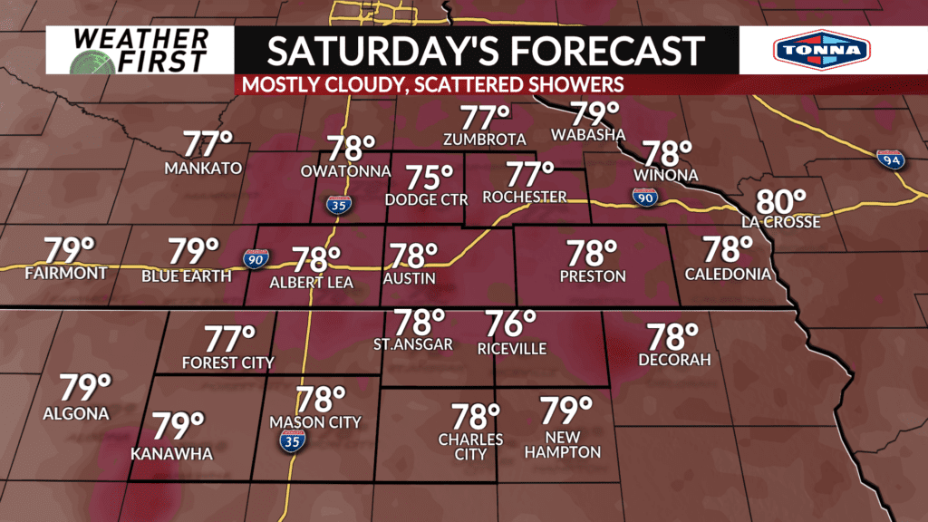
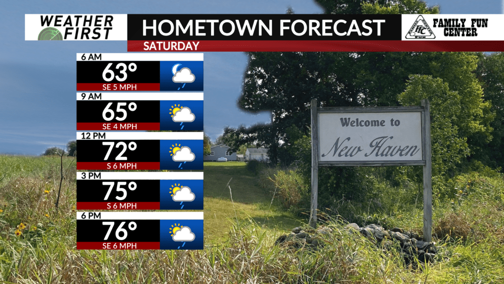
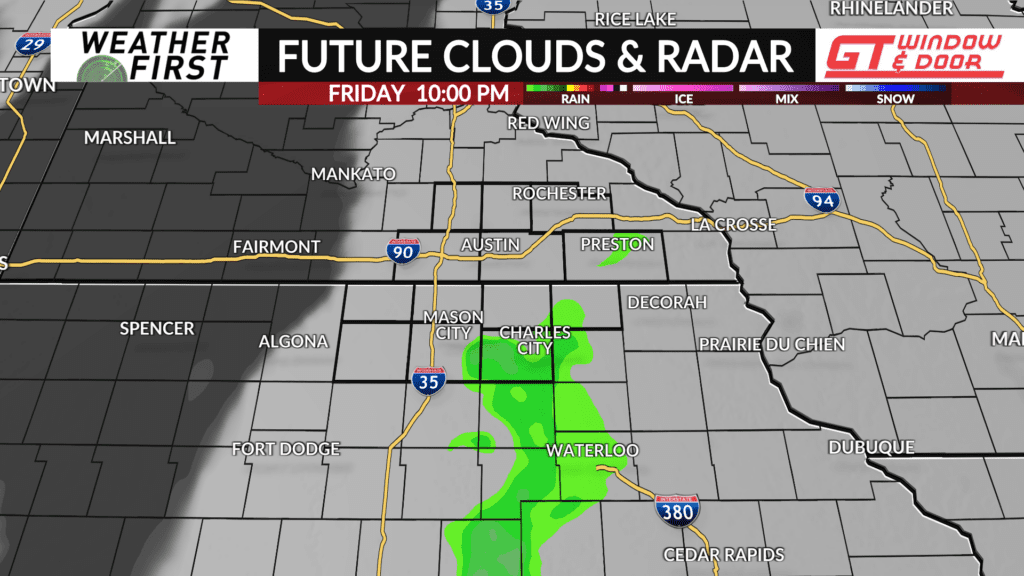
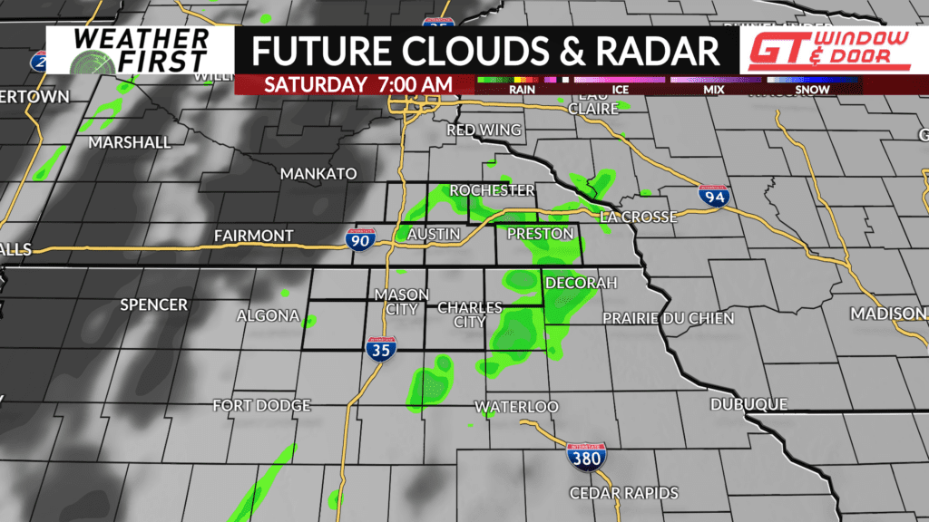
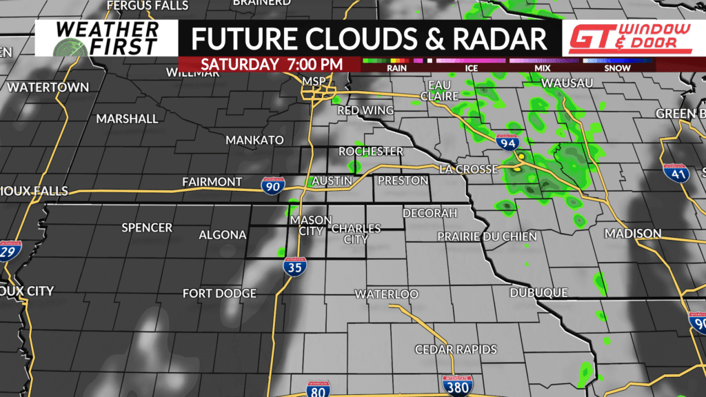
This moisture and energy will begin to enter our area tonight, bringing with them the chance for scattered showers and perhaps a t-storm or two. The best chance of rain holds off until after midnight, lasting into Saturday morning. There will be a chance for scattered showers and a few t-storms Saturday afternoon, but not everyone will see rain, nor will they see a whole lot. Not a washout by any means!
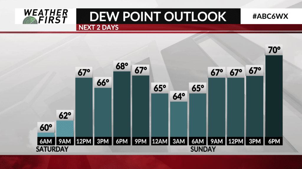
Temperatures will drop into the low 60F’s across southeastern Minnesota and northern Iowa tonight, with dew points in the low 60F’s. Saturday will feature temperatures in the mid to upper 70F’s…a little cooler! Dew points will be in the mid to upper 60F’s, however, so it will feel a bit humid out there.
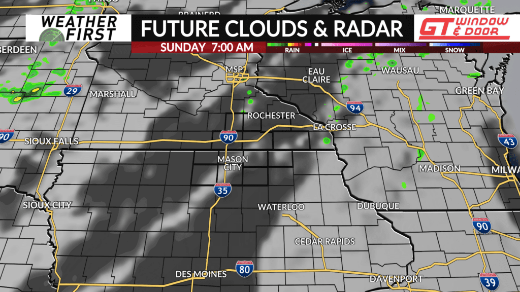
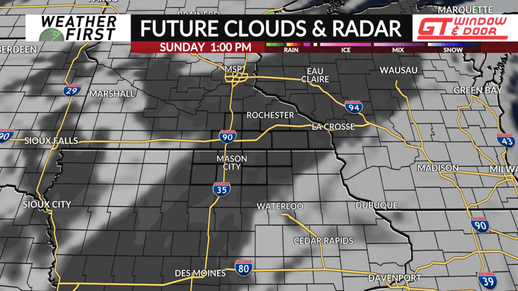
Sunday will feature more sunshine, with high temperatures in the low to mid 80F’s across most of the area, with dew points approaching 70F. This means that it will feel quite humid out there. Keeping a small chance for a few pop up showers or t-storms in the forecast during Sunday afternoon, but there are certainly no guarantees that everyone will see rain, nor will the rain last longer than a few minutes. Sunday overall just looks like a hot and humid summer day, with plenty of sunshine!