Strong thunderstorms possible Thursday

Showers and thunderstorms return to the Weather First area on Thursday as a frontal system passes through.
A few showers and isolated thunderstorms are possible on Thursday morning before a break likely occurs from late morning until the late afternoon when a second round is possible ahead of an advancing cold front.
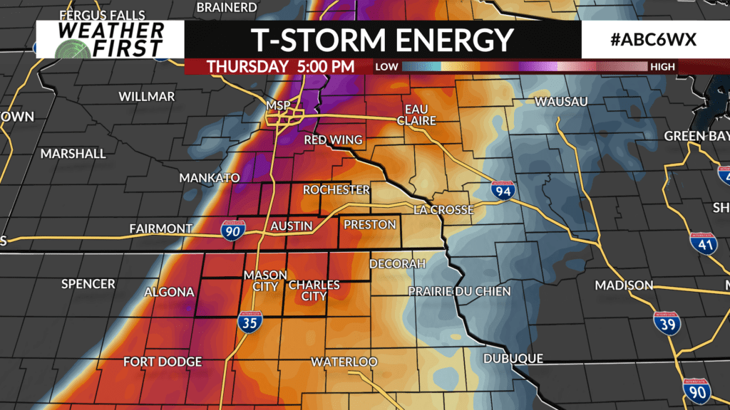
The second round has the potential to be strong-to-severe which is dependent on how much the atmosphere can recharge after any morning showers and thunderstorms exit the area.
If strong thunderstorms do develop, the main threats would be large hail and strong wind gusts with an isolated tornado not completely being ruled out.
The Storm Prediction Center has the entire Weather First area in a Level 2 (yellow) of 5 risk for the possibility of severe thunderstorms.
This system will have plenty of moisture so heavy downpours and appreciable rain is possible for some.
It’ll be another warm day with high temperatures in the low-to-mid 80s. Dew point temperatures are expected to be high with upper 60s likely leading to a humid day.
Any showers and thunderstorms will come to an end by late Thursday evening setting up a dry, but still warm end to the week.