Temperatures warming once again next week
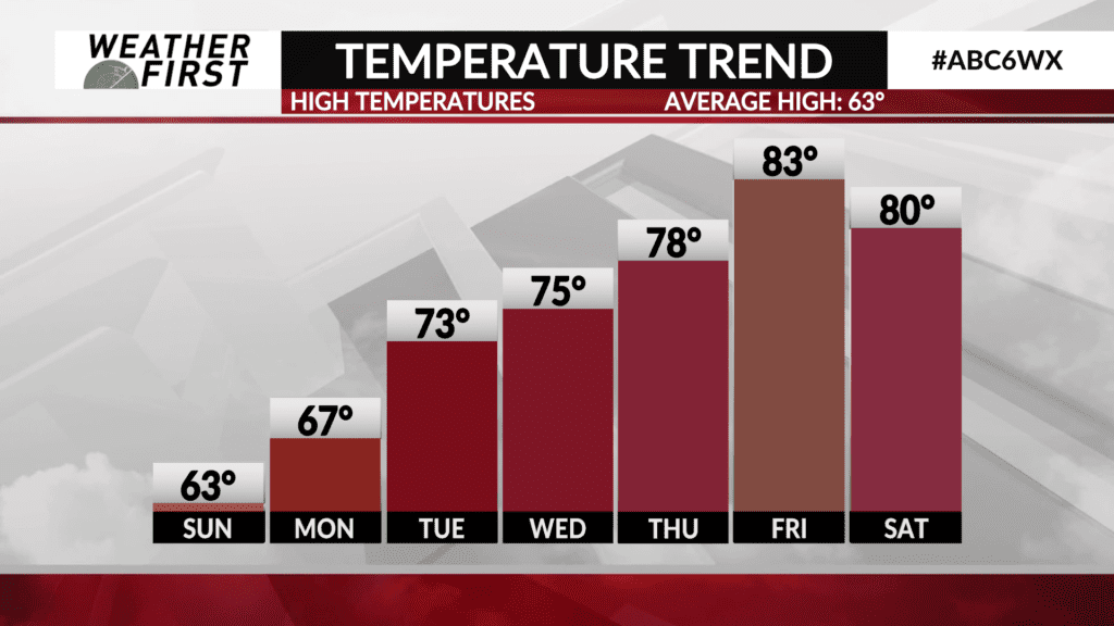
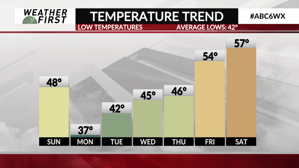
The average high temperature this time of year has fallen to about 63F, with the average overnight low being around 42F. Keep these numbers in mind, because it will help to give scope to just how warm temperatures are going to be compared to normal by the end of this upcoming week…
Sunday will be the one and only day where high temperatures across portions of the Weather First area will be right where they should be for this time of year, in the low to mid 60F’s. Sunday night, our first frost of the season will be possible, with lows dropping into the mid 30F’s!
Monday will also be a cooler, more seasonable day temperature wise. May see an increase in cloud cover during the mid-late morning into the afternoon, but things remain dry. Highs will be in the mid to upper 60F’s, certainly not a bad October day!
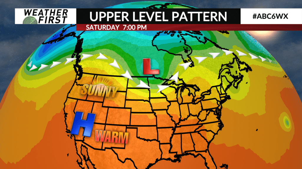
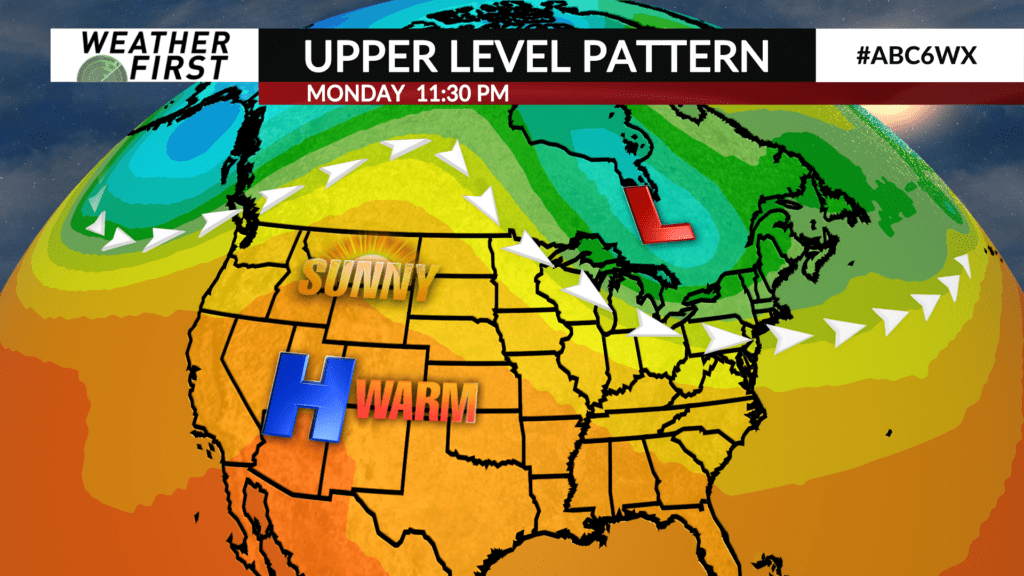
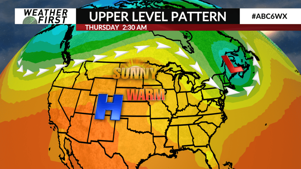
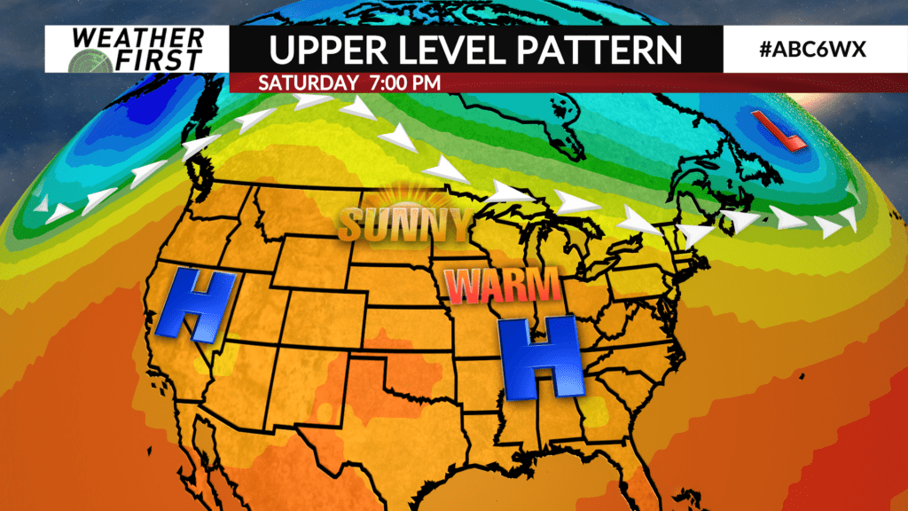
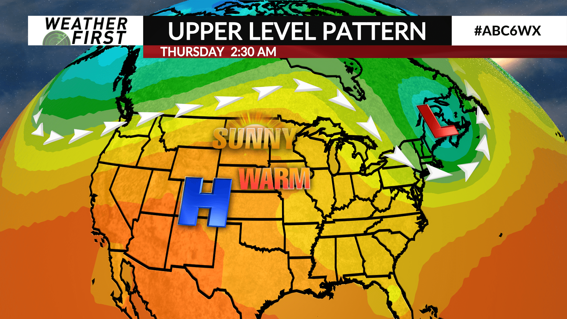
We begin to tack on a few degrees each day as we advance through the workweek as an upper level ridge of high pressure builds to our southwest. This will not only bring in warmer temperatures, but will also keep the skies relatively cloud free for the entire week.
Tuesday, highs will be in the low to mid 70F’s, under plenty of sunshine. Wednesday will be slightly warmer, with highs in the mid to perhaps upper 70F’s, under more sunshine. By Thursday, it feels like summer again, with high temperatures in the upper 70F’s to around 80F!
Friday is when we see the warmest temperatures across the area, with highs in the low to mid 80F’s. Yes, low to mid 80F’s…in the middle of October!!! Now, I do not happen to have the record book on hand, but there is a fair chance we could reach and/or set a record high across southeastern Minnesota and northern Iowa this next Friday given the warmth that is on the way.
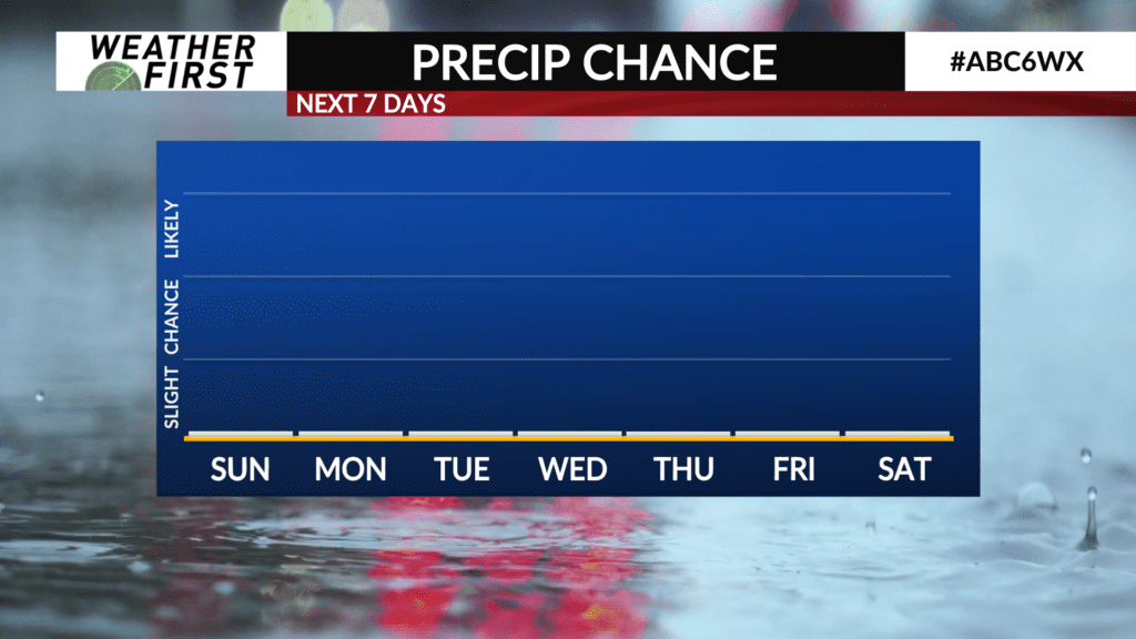
Saturday will feature highs around 80F once again, but a cold front slashes through the area Saturday evening. Much cooler air arrives by next Sunday, with highs in the mid 60F’s. Almost a carbon copy of this weekend. No rain chances either, which we could really use at this point.
