Unsettled weather arrives for Wednesday
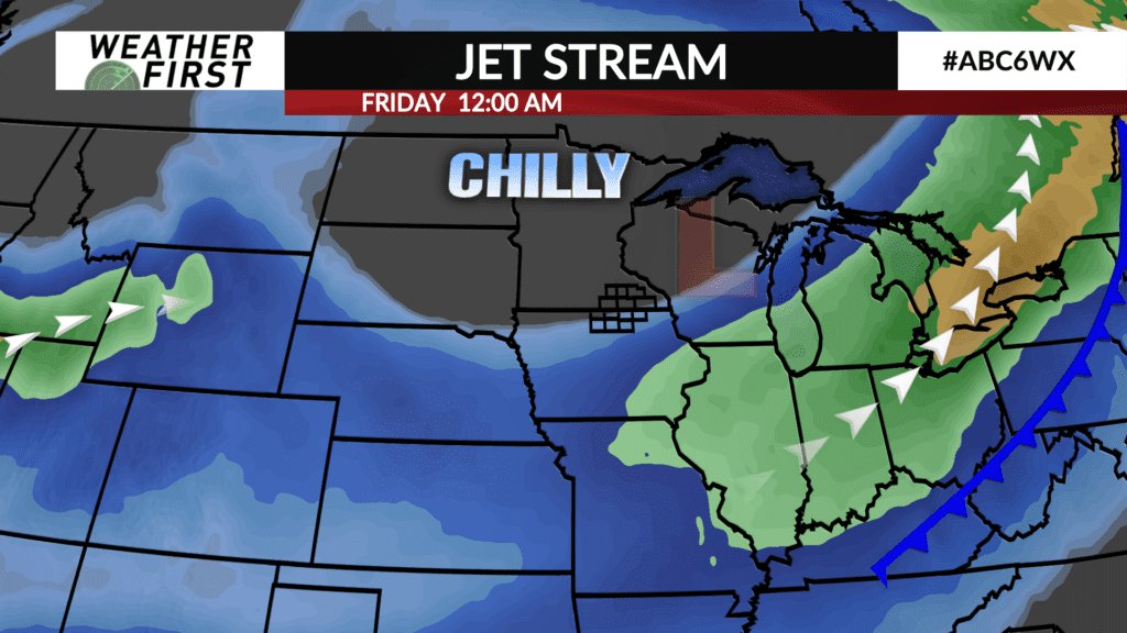
A pronounced upper level trough of low pressure will be making its way across the United States this week, bringing a potent weather system with it. This weather system will provide one of the few promising chances of rain that we have had in the last several weeks!
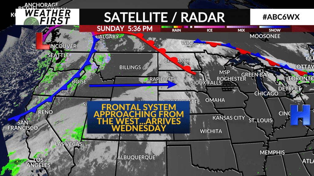
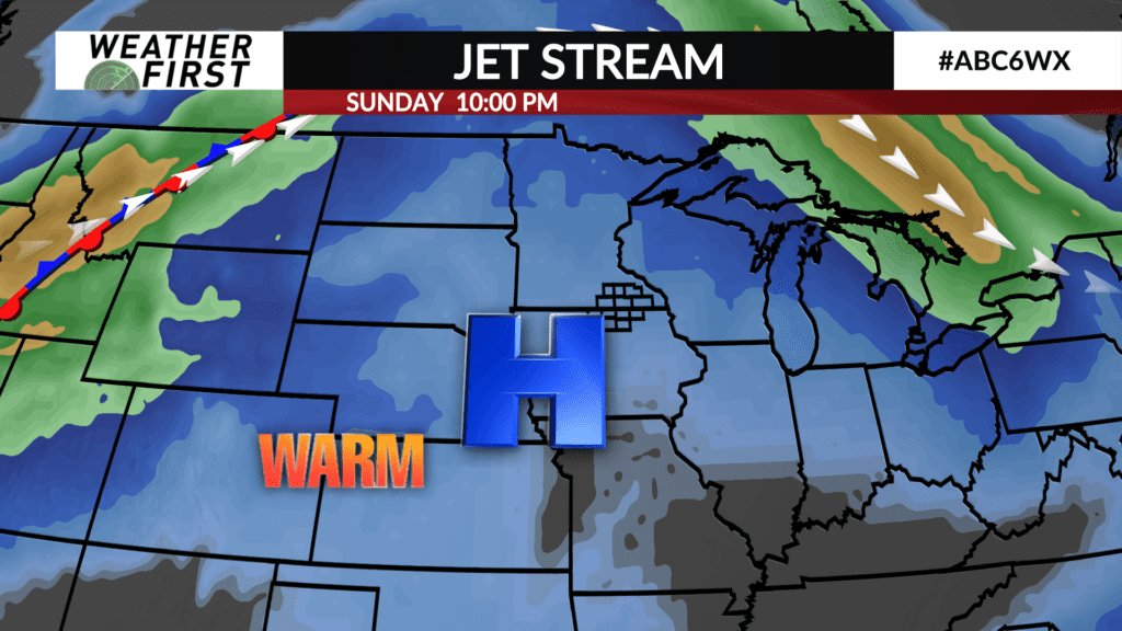
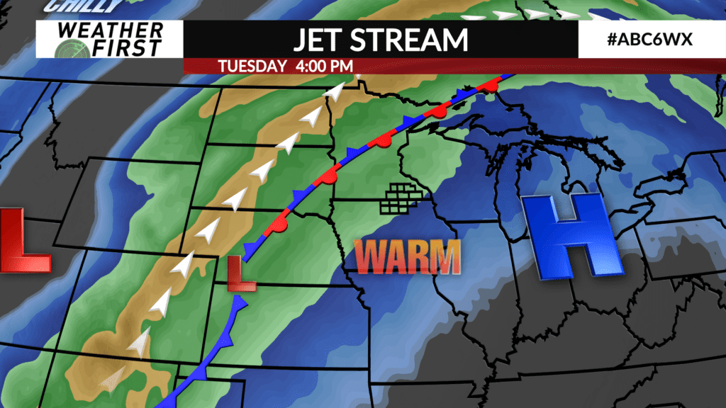
Currently, an area of low pressure is working its way into the Pacific Northwest and southwestern Canada this evening. Over the next few days, the accompanying frontal system will track across the Rocky Mountains before a new area of low pressure forms over Colorado on Tuesday.
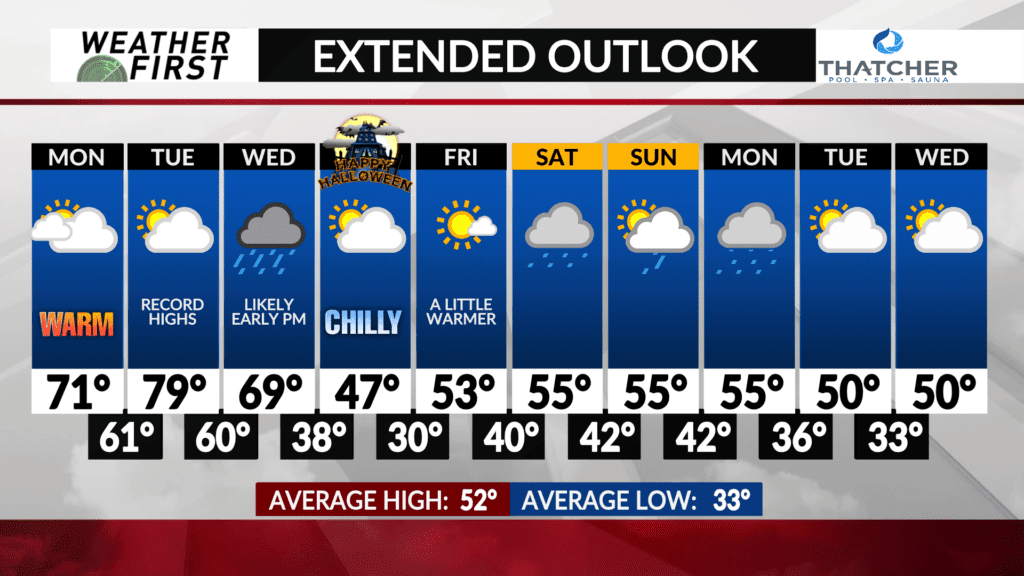
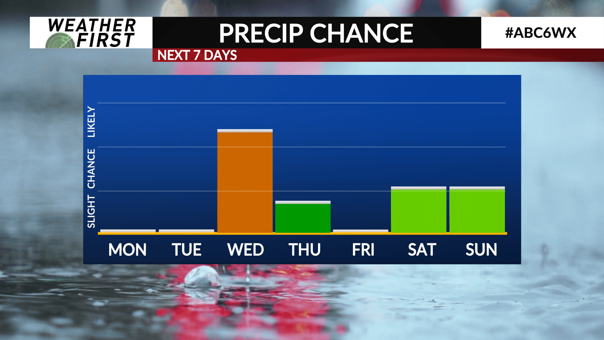
No precipitation is expected Monday or Tuesday locally, but we certainly will notice an increase in the cloud cover, namely in the form of high level cirrostratus clouds.
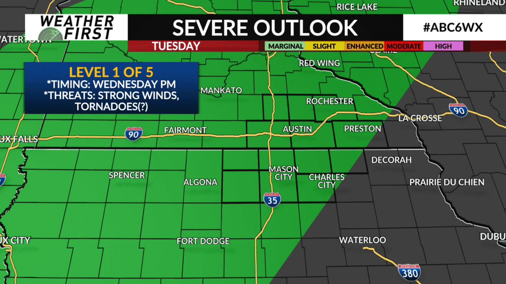
As we head into Tuesday night, a stationary front will set itself up across western and central Minnesota, providing the forcing for shower and t-storm development in that direction. No rain is expected here at this time, but there is a marginal risk (level 1 out of 5) of severe thunderstorms across a majority of the Weather First area should any storms develop here locally. The chances are very slim, with the better chance for storms holding off until Wednesday.
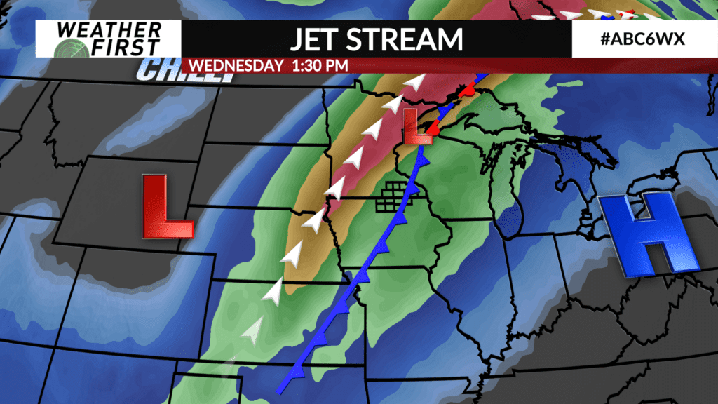
Speaking of Wednesday, agreement in cold frontal passage timing has increased since yesterday, and it seems most plausible that the cold front will track through during the early afternoon hours. This should give enough time for some instability to build across the area before the front rolls through, providing the chance for additional t-storm activity. There will be the outside chance for a few strong to severe storms should the environmental conditions for severe weather come into play. Again though, this chance remains low for now.
Rain remains likely into Wednesday evening, exiting the area by late Wednesday night. There is a slight chance for a stray shower on Thursday, but the best forcing will be well to our east by that time. Things look to dry out just in time for some trick-or-treating Thursday evening!
We stay dry into Friday, before rain chances return next weekend. Still a lot of uncertainty in timing of when rain arrives given the event is nearly a week out, but this already appears to be another promising chance for some much needed widespread rain across the area.
