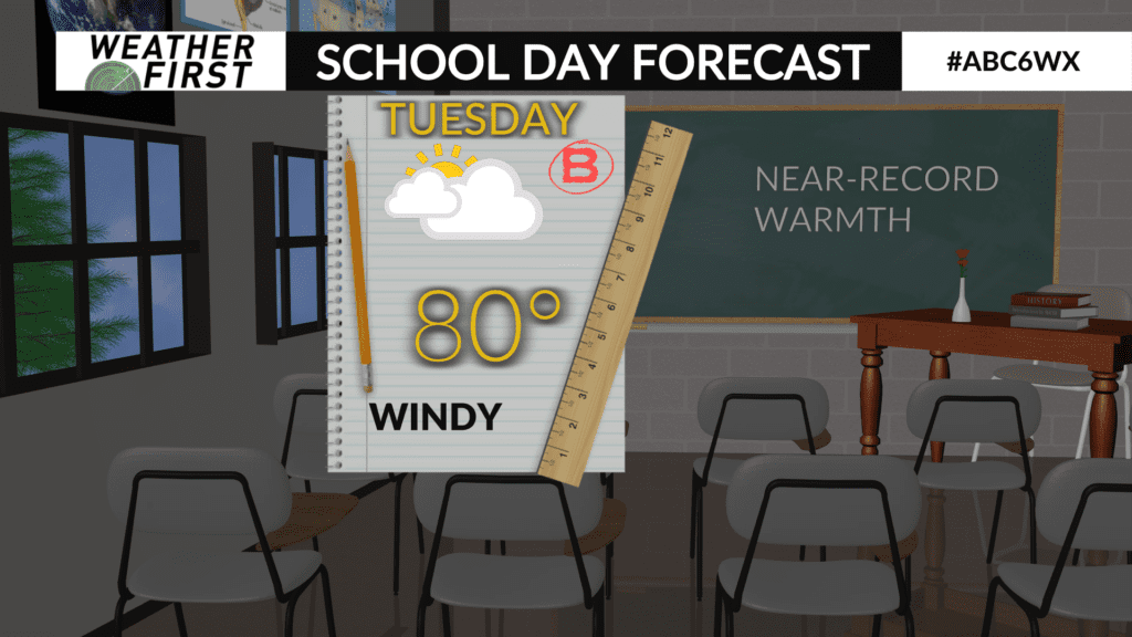
Windy, near-record warmth expected Tuesday
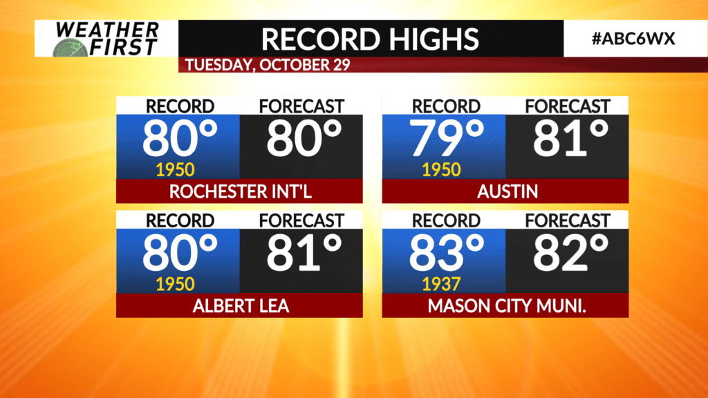
Monday was a record-setting day across parts of the Weather First area as some communities set new record-high temperatures. Tuesday will be much of the same as an unseasonably warm airmass will continue to be in place.
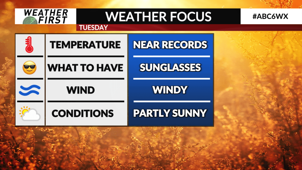
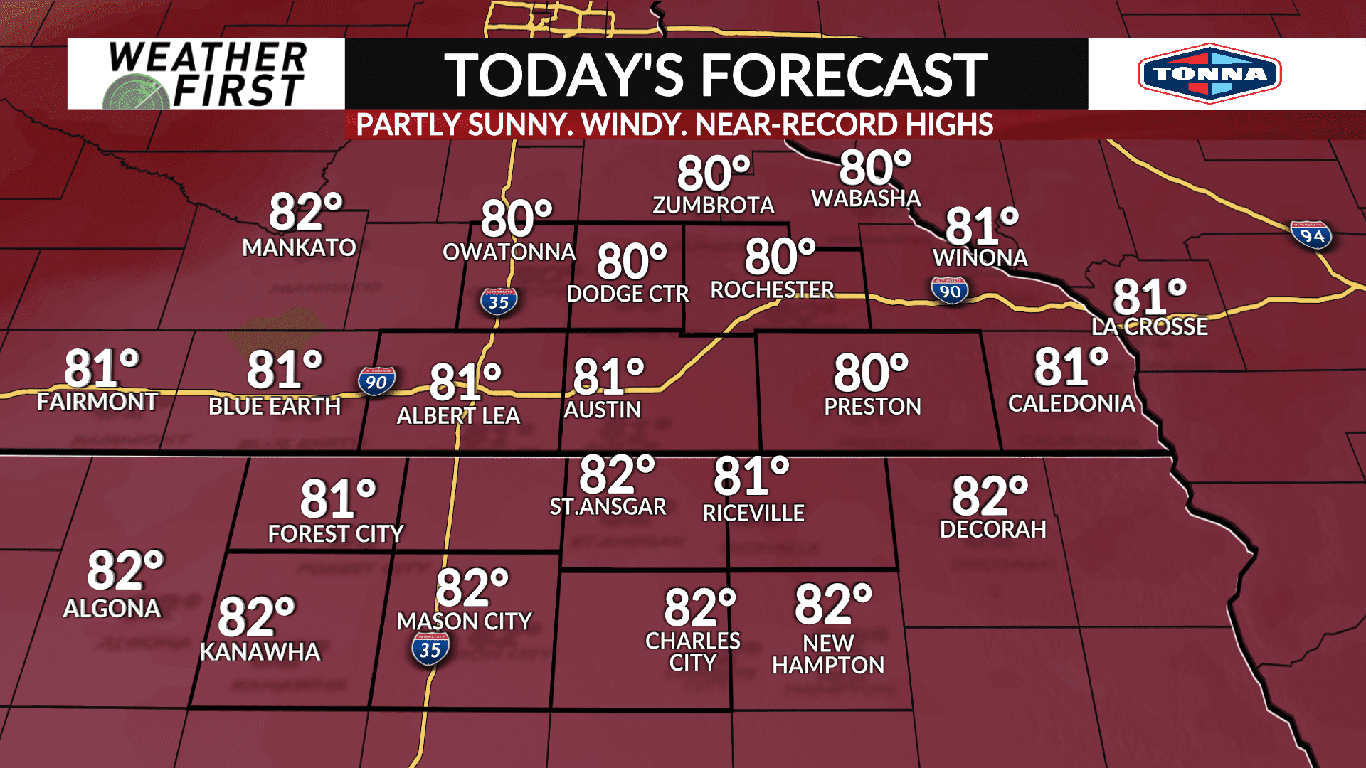
Temperatures are expected to be warmer than Monday as highs surge to near or in the lower 80s which would put daily record-highs in jeopardy across much of the area.
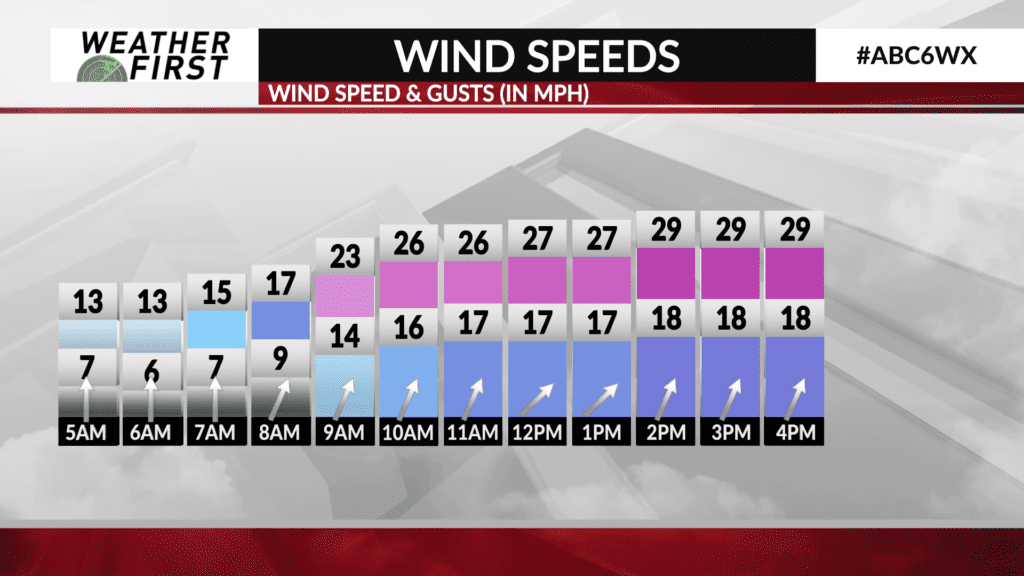
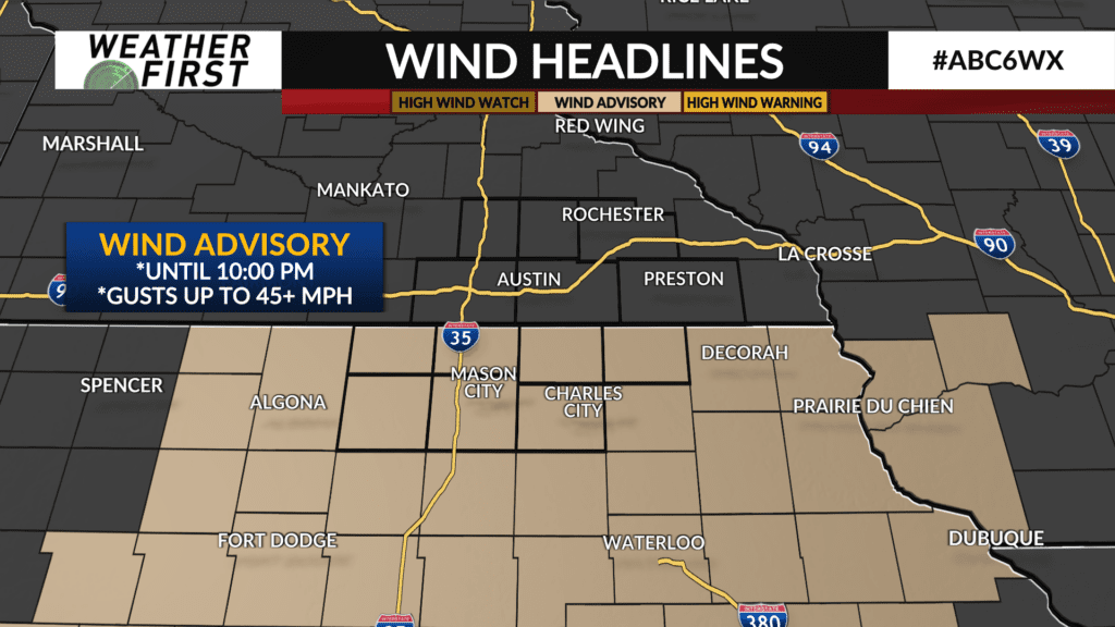
The warmth will be aided by a strong southerly wind which may gust up to 45 MPH or higher at times especially across North Iowa where a **WIND ADVISORY** is in place from 10:00 AM to 10:00 PM. Everywhere else will likely see gusts of 35-40 MPH.
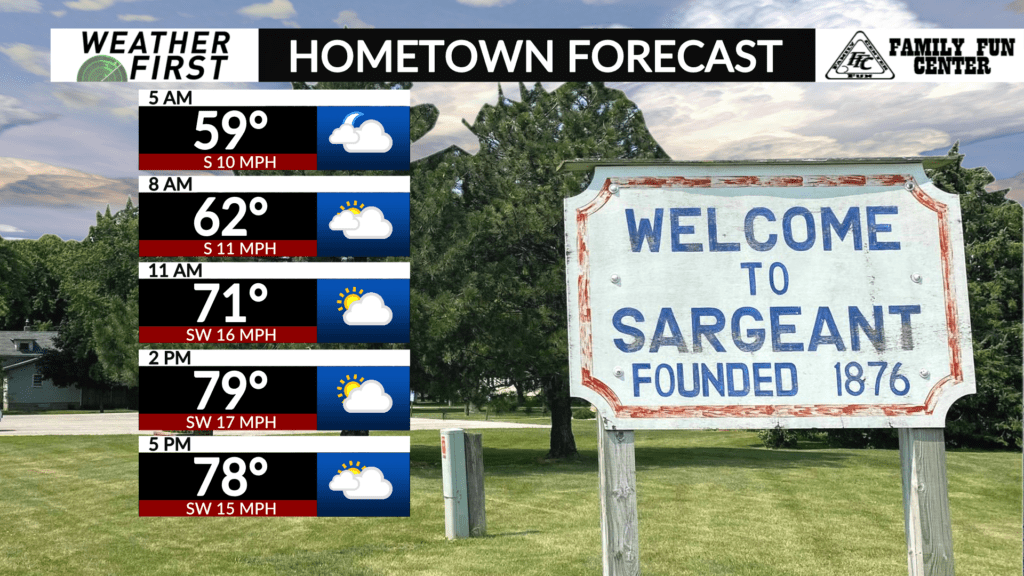
There will be more clouds than sunshine through the day, however clouds are expected to thicken late in the afternoon through the evening hours into Wednesday morning.
The wind will continue to be blustery Tuesday night into Wednesday. It’ll be mild with record warm low temperatures likely broken as many places will drop into the middle-to-upper 60s by Wednesday morning.
