Rain likely Monday, flakes possible Wednesday

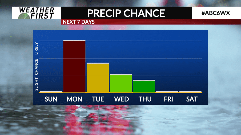
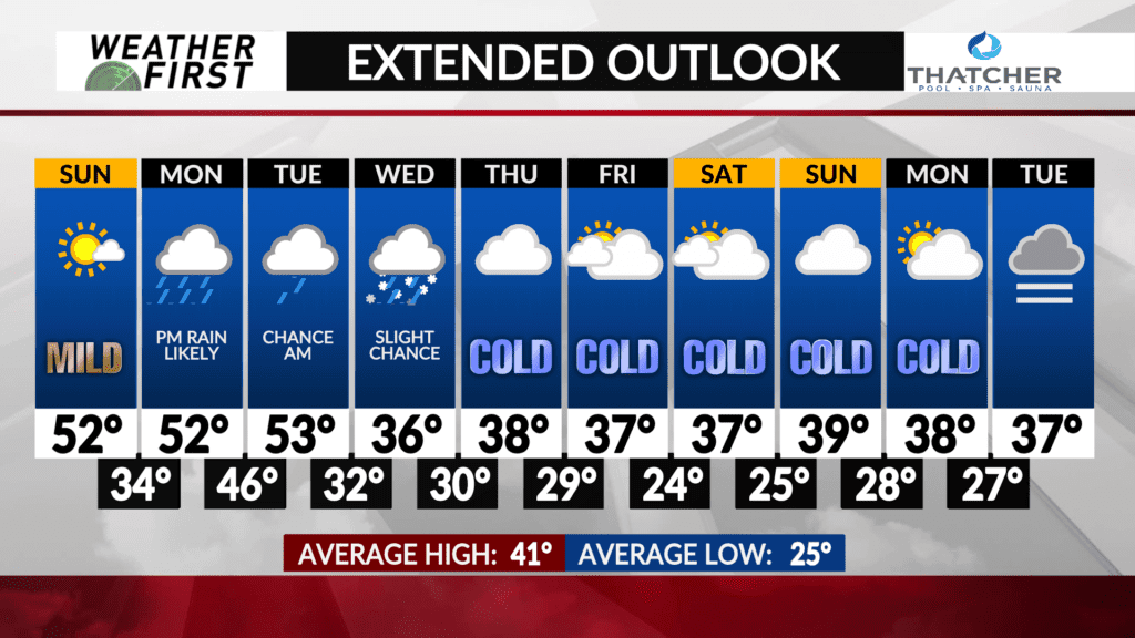
Widespread rain is likely Monday through Tuesday morning, with a slight chance for a few snow showers heading into Wednesday…
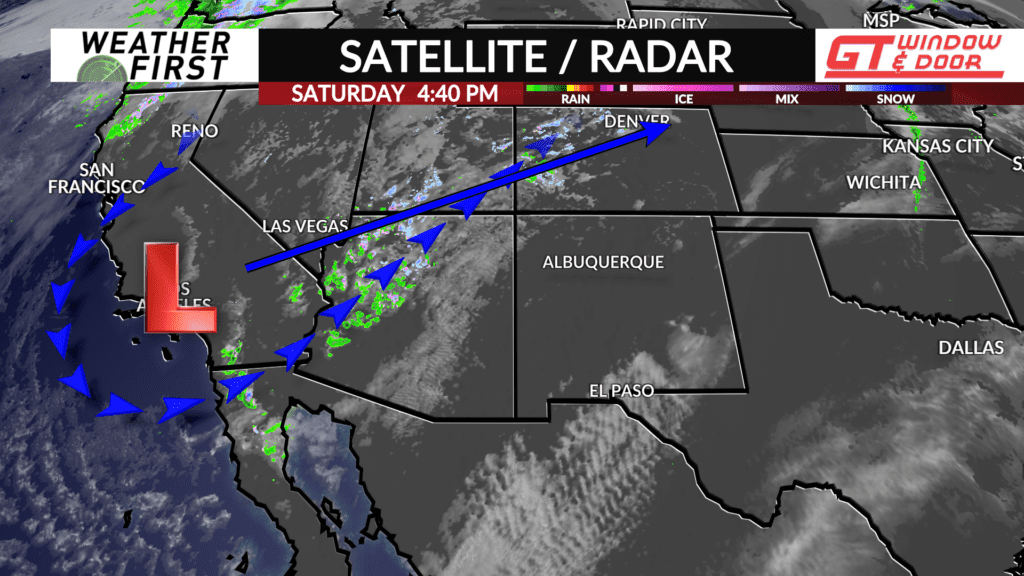
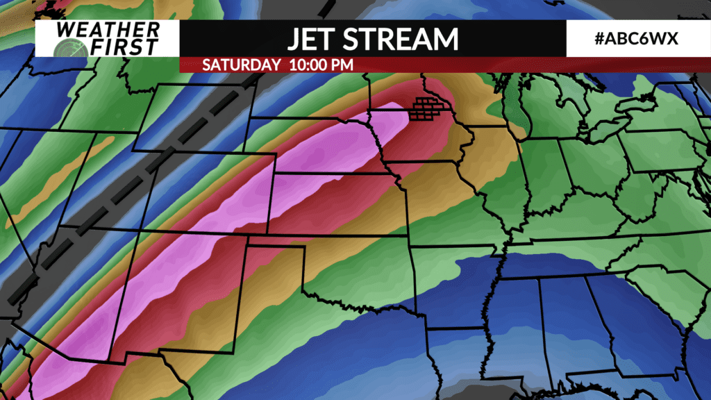
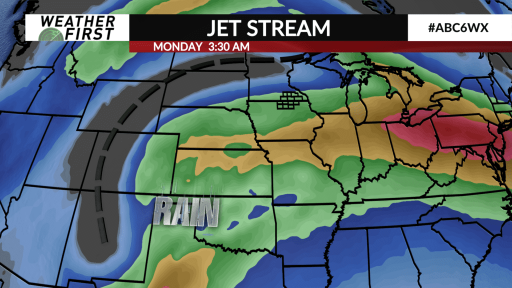
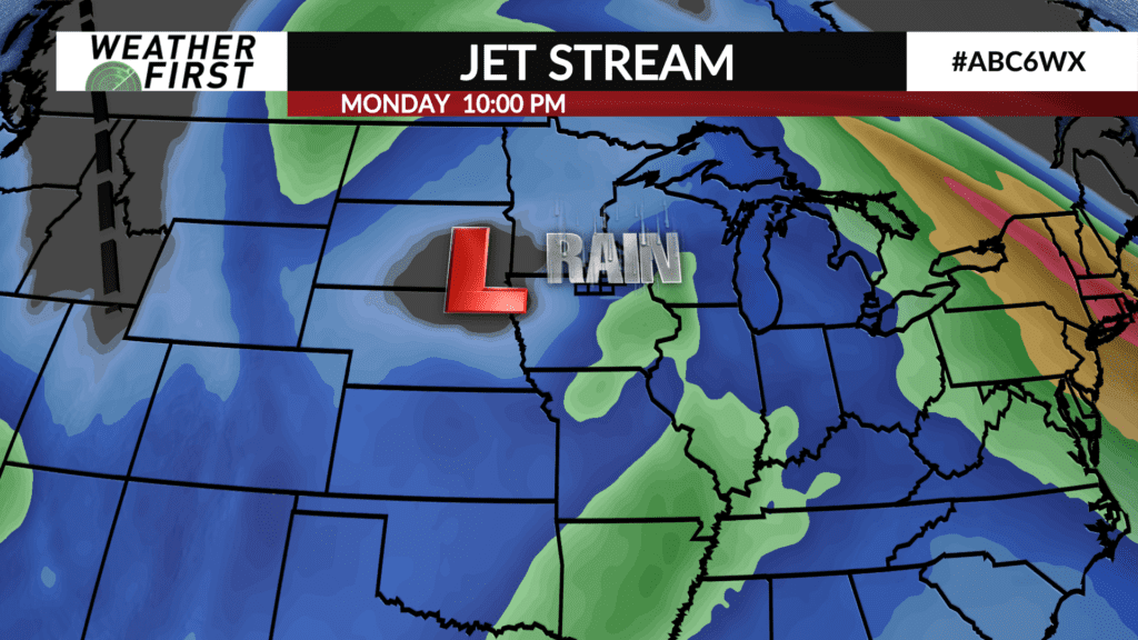
A large trough of low pressure is currently sprawled across the western United States. While not producing much for precipitation now, once it tracks into the central United States, there will be plenty of Gulf of Mexico moisture to work with. By Monday afternoon, the forcing associated with this trough will overspread the area, leading to a widespread precipitation event.
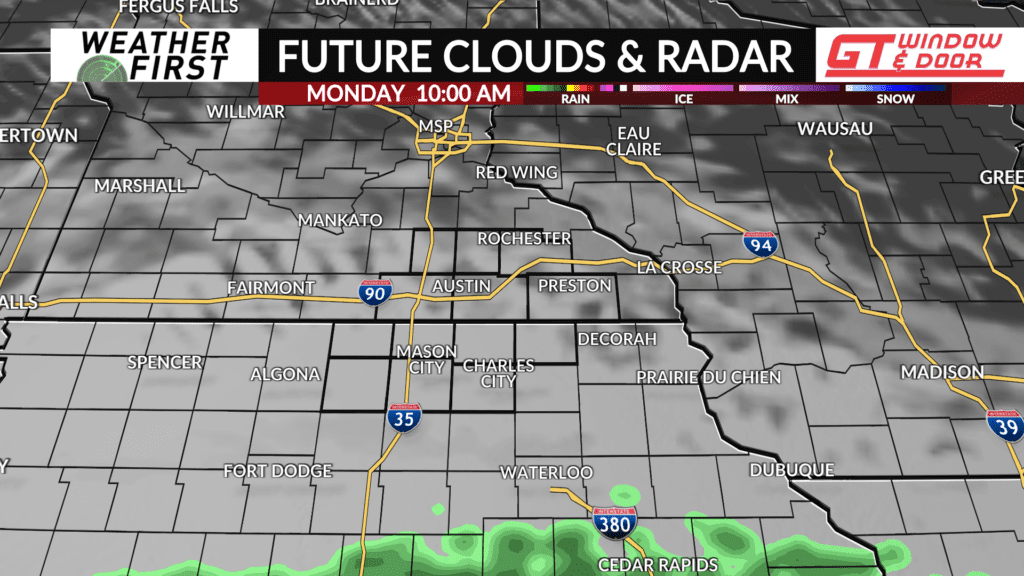
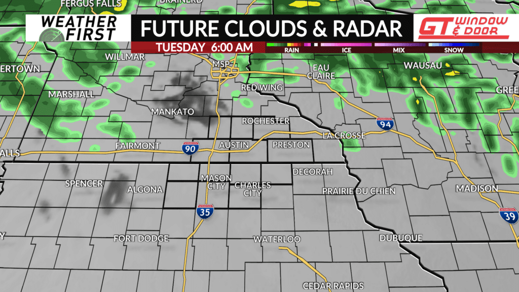
Monday will start out dry, with at least some partial sunshine. Cloud cover will rapidly increase heading into the afternoon, with rain beginning across northern Iowa just after the noon hour. By mid afternoon, rain will be likely across all of southeastern Minnesota and northern Iowa.
Many locations may receive up to 0.25″ of rain or more before sunset. Rain continues through Monday night, with most locations possibly seeing another 0.50″ of rain or more, resulting in widespread rain totals of 0.75″ to 1″. These values are not set in stone, but everyone is set to see a good soaking!
Rain winds down on Tuesday, with most of the day looking dry at this point in time. Clouds will linger though, making for a gloomy day regardless.
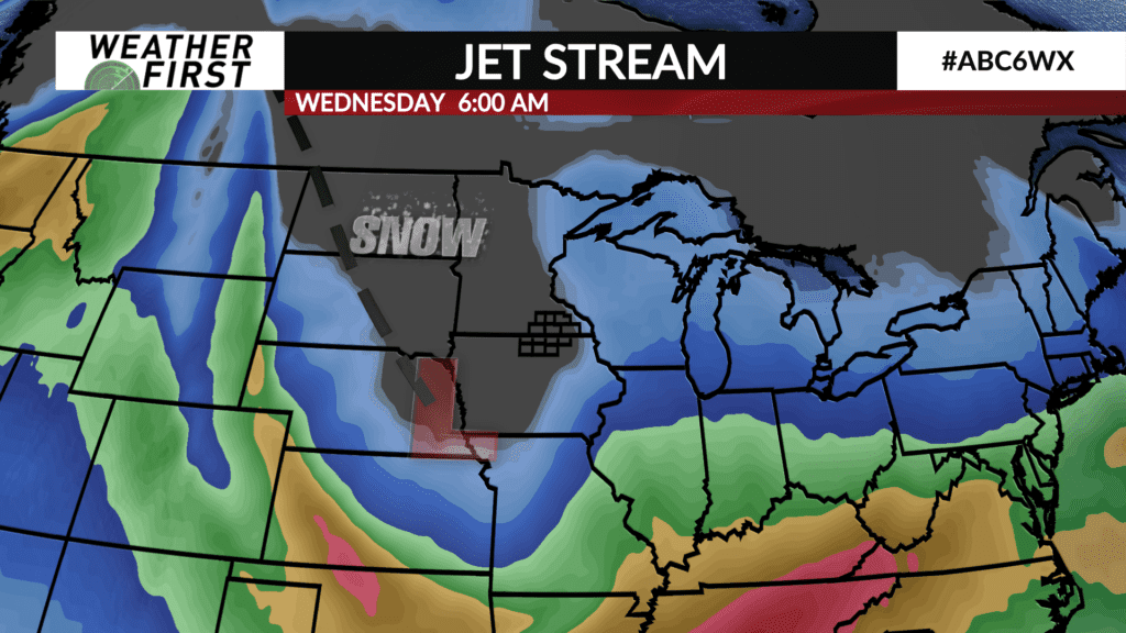
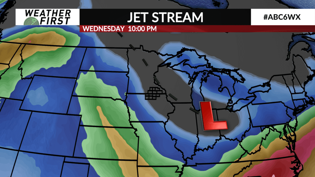
Wednesday is when many of us could see our first snow flakes of the season! Plenty of low level moisture will be rotating around the backside of the weakening low Wednesday into Thursday, along with much colder air. Any precipitation that does take place on Wednesday will be on the lighter side, however, due to diminishing forcing.
Snow accumulations are expected to be minor, if any at all. No major travel disruptions are expected at this time. Any snow that falls will just be another reminder that winter is not far off!
