Wintry mix this weekend with the potential of shovel-able snow

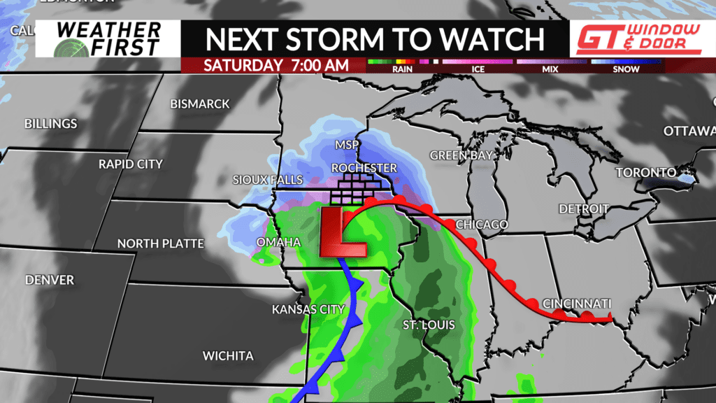
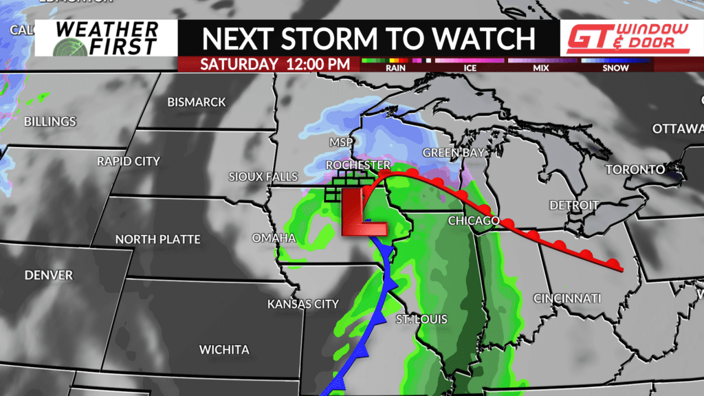
After the arctic blast this Wednesday and Thursday, the fun isn’t over yet! Another storm system, this one with the potential of packing a bit more punch in the way of precipitation, arrives Friday night into Saturday morning.
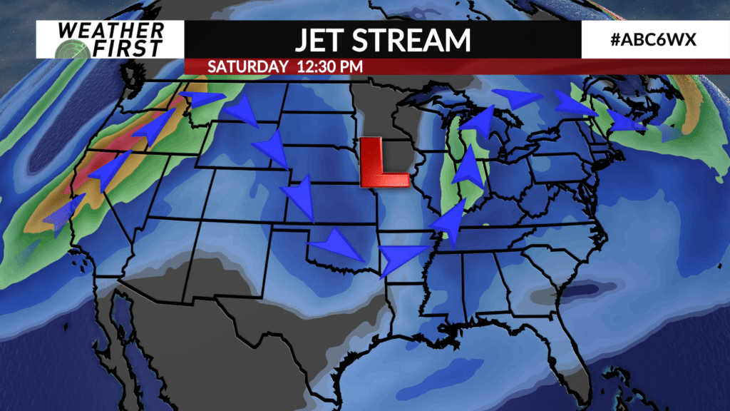
This one is still very tricky to pin down as any variation in the track of the low will make a big difference in who sees rain, sleet, and snow. Leaning more into the European computer model for guidance in this example, this one is looking to bring a mix of precipitation to the region starting Friday night, moving out by the middle of Saturday.
We’ll be tracking this one closely as we approach the weekend. Inevitably, there will be variation in how well the models handle the track of this storm.


