Weekend storm system to bring wintry mix, and possibly rain

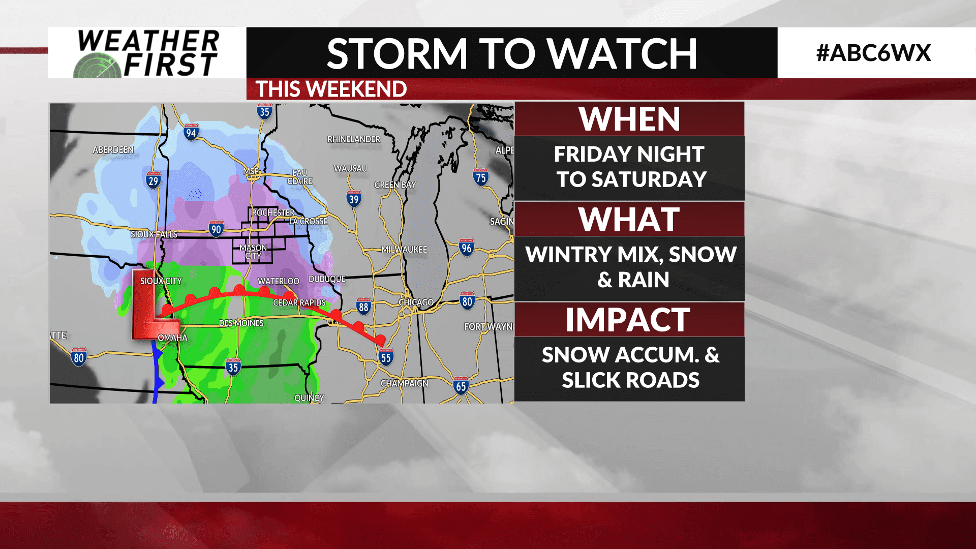
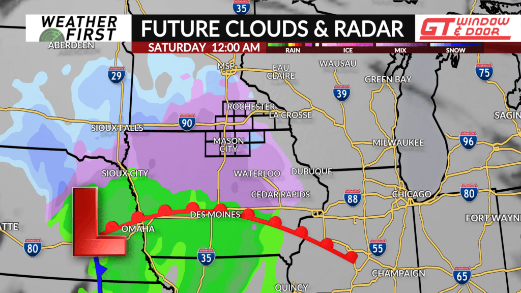
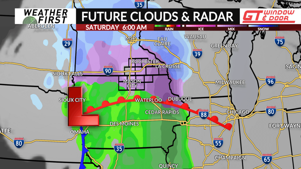
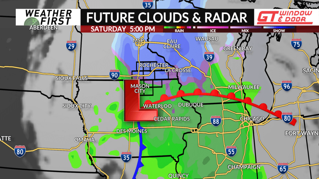
A storm system is expected to develop and track into the region beginning late Friday into Saturday which may bring a mixed bag of precipitation including a wintry mix, snow and some rain.
The storm will develop in the southern plains and track northeast into Iowa by Friday pulling northward moisture from the Gulf of Mexico, so this system will have plenty to work with.
The uncertainty at this time is the track of the storm which will play a pivotal role in the precipitation type that falls.
The system is expected to arrive late Friday night, and with temperatures hovering near or below-freezing, snow and a wintry mix of sleet and freezing rain is possible heading into Saturday morning. As temperatures warm above-freezing, the precipitation may switch to rain and/or a rain and snow mix. However, if the storm were to track further south, temperatures would be much colder and a wintry mix and snow would be the main precipitation type which would likely lead to some snow accumulations.
Details of the storm will become clearer late Wednesday or Thursday.


