Wintry mix, potential icing, and a bit of snow possible Saturday

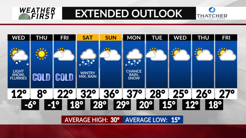
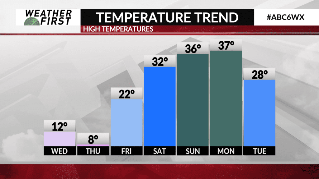
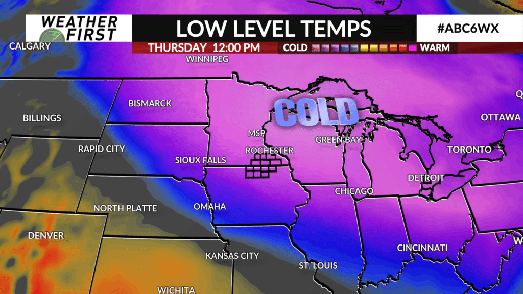
A storm system is on the way for Saturday. Surprisingly, and despite the cold air we’re feeling through Thursday, there won’t be as much cold air present for that storm system as it pushes through the area.
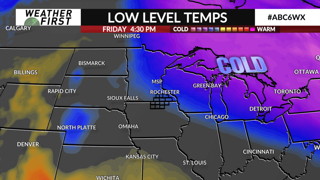
Cold, arctic air will be moving to the east Friday night through Saturday morning, and that storm system will be drawing more humid, warm air in from the south.
With temperatures in the upper 20s to the lower 30s Saturday, this system will produce freezing rain, sleet, and a bit of snow. This isn’t shaping up to be a very powerful storm system, but it’s going to do enough to make for the potential of icy conditions in southern Minnesota and northern Iowa Saturday. Central Iowa is looking to receive a much worse dose of freezing rain than we are.


