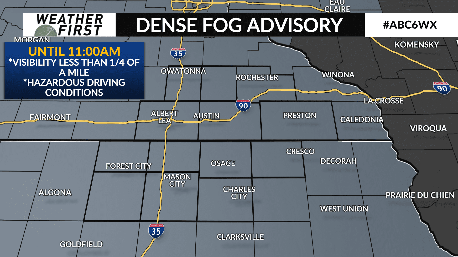
DENSE FOG ADVISORY until 11AM Sunday
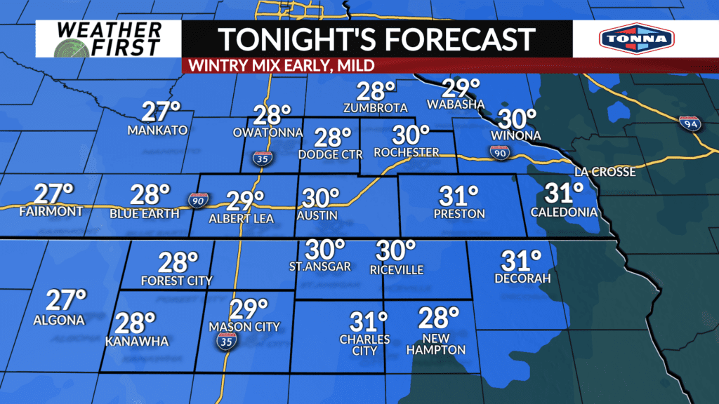
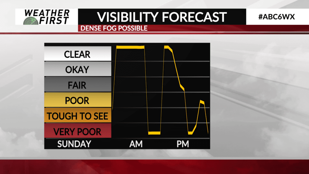
With wintry precipitation coming to an end later this evening and into the early overnight hours across southeastern Minnesota and northern Iowa, attention turns to dense fog potential early Sunday morning, lasting through Sunday night.
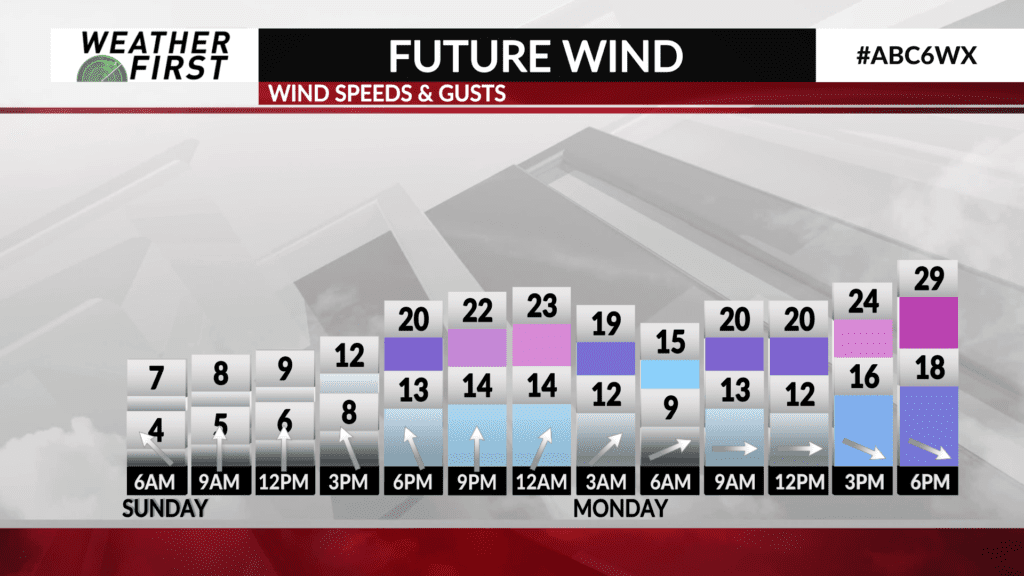
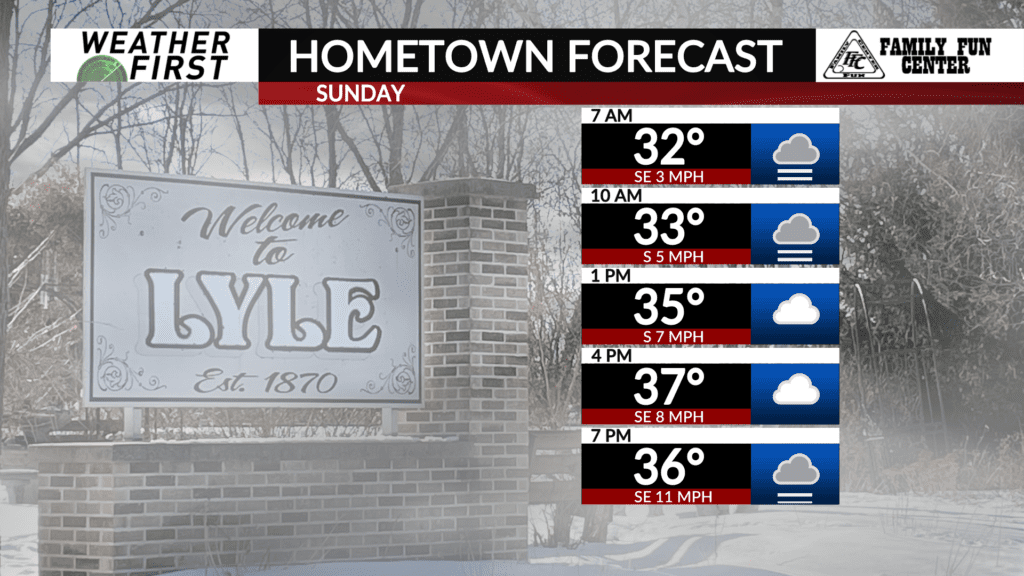
Temperatures will not drop much, if at all, Saturday night into Sunday morning thanks to a thick deck of low level clouds, and light southeasterly winds around 5 to 10 mph.
These southeasterly winds will transport moisture rich air northward through the night, allowing dew points to climb to near where the air temperatures will be. This, combined with winds being light, will likely promote the formation of fog, dense at times, across the area.
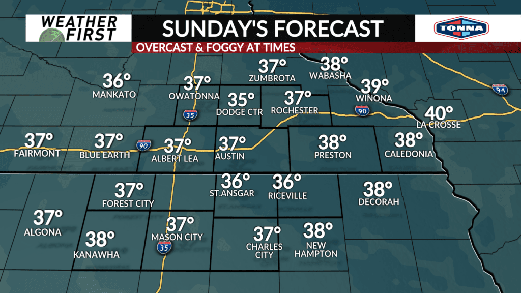
With temperatures near to just below freezing, there is certainly a concern for freezing fog through Sunday morning. Water droplets in the air will likely freeze to surfaces including pavement, trees, cars etc. Sunday morning until temperatures rise to above freezing Sunday afternoon.
Winds will remain light out of the south through Sunday, giving reason to believe that dense fog will remain a concern through the remainder of the day, and into Sunday night.
There are no fog headlines from the National Weather Service at this time, but that may well change overnight tonight and/or Sunday morning. Something to keep an eye on over the next day or so.
Visibilities may be greatly reduced at times in areas that experience patchy to dense fog late Saturday night through Sunday. Freezing fog may lead to a continuation of icy roadways in some spots as well. While we won’t have the wintry precipitation across the area Sunday, you will still want to drive cautiously and be on the look out for slick spots and reduced visibility!
