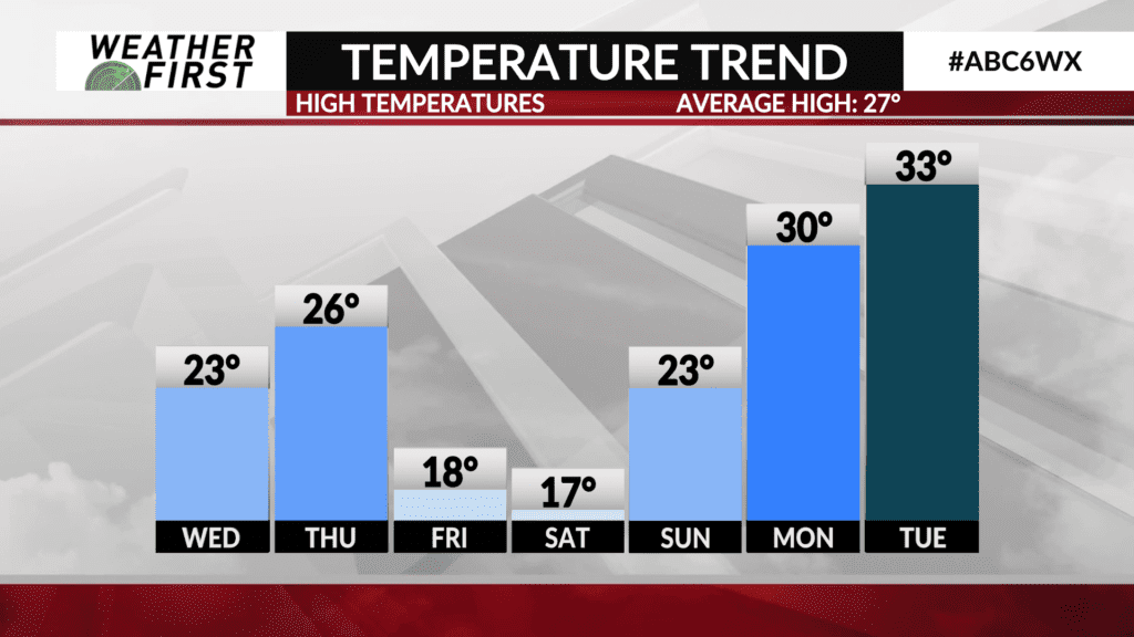
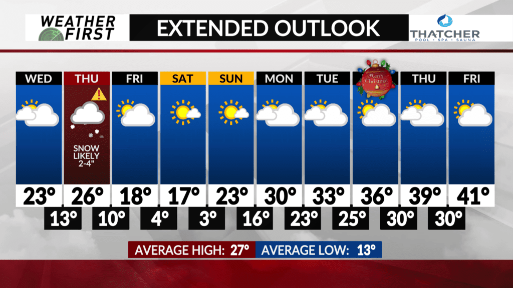
Thursday clipper bringing the potential of snow, then turning colder Friday-Saturday
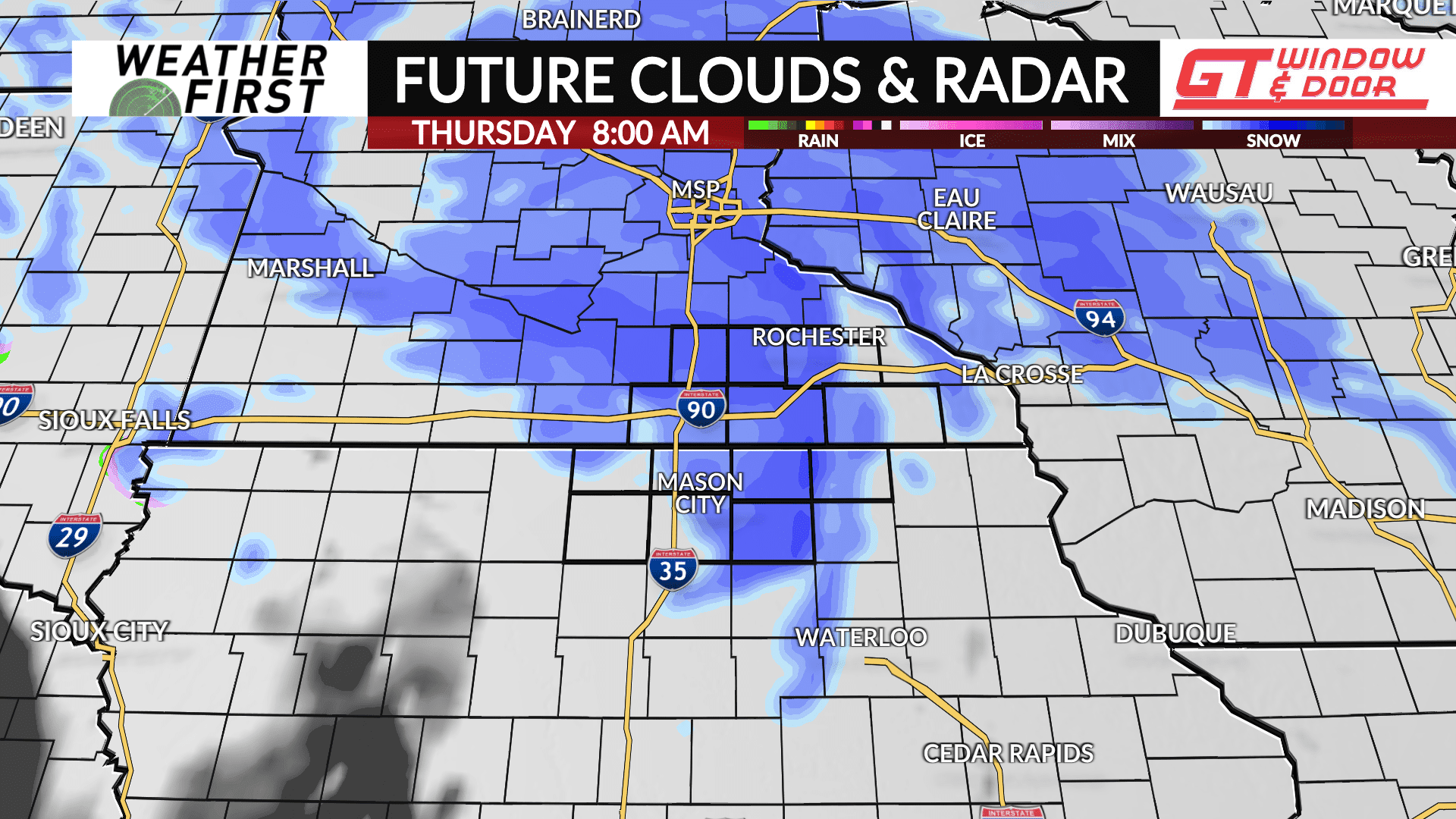
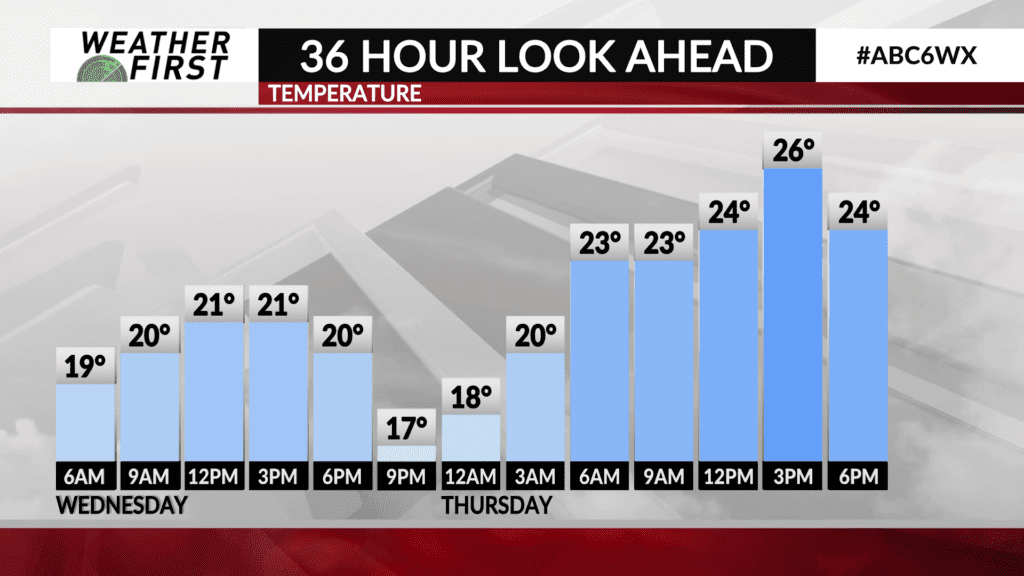
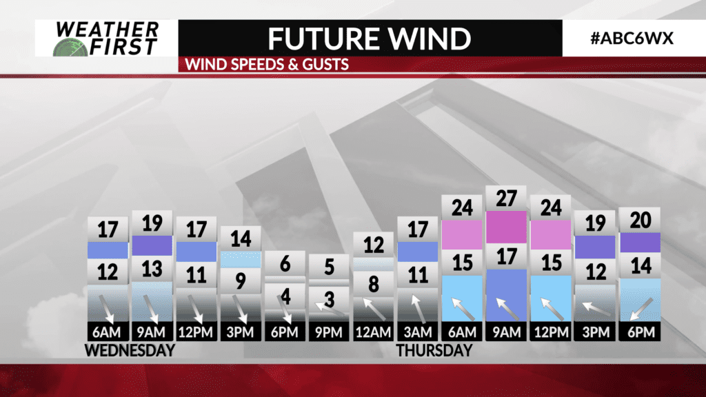
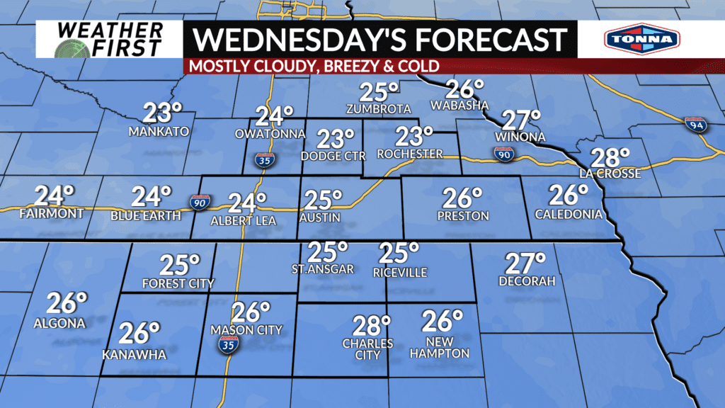
An active weather pattern continues through the rest of this week. We’ll catch a break on Wednesday as colder air moves into the region and keeps Wednesday’s highs in the lower 20s.
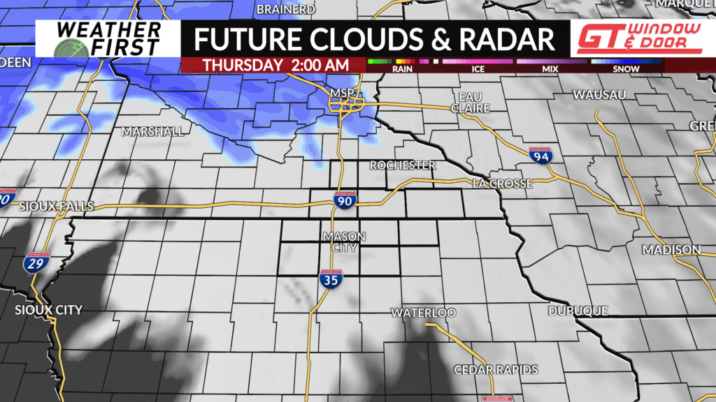
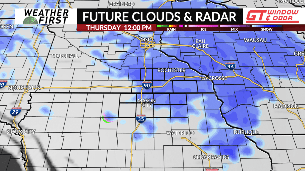
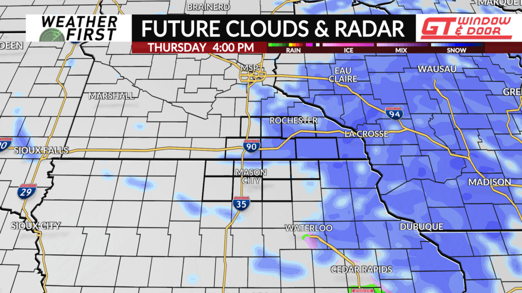
Another, larger clipper system spins through the region Thursday bringing with it the potential of accumulating snow. The heaviest snow from this system will fall in central Minnesota, but there is the possibility of snowfall totals of 1-3″ in southeast Minnesota. Some isolated, slightly higher totals are possible north of Highway 14.
There are still some details to iron out with the placement of this system, but at the very least it looks like our Thursday morning drive will be affected by snow causing slick roads. More to come through Wednesday.
