Snow chances waning Saturday
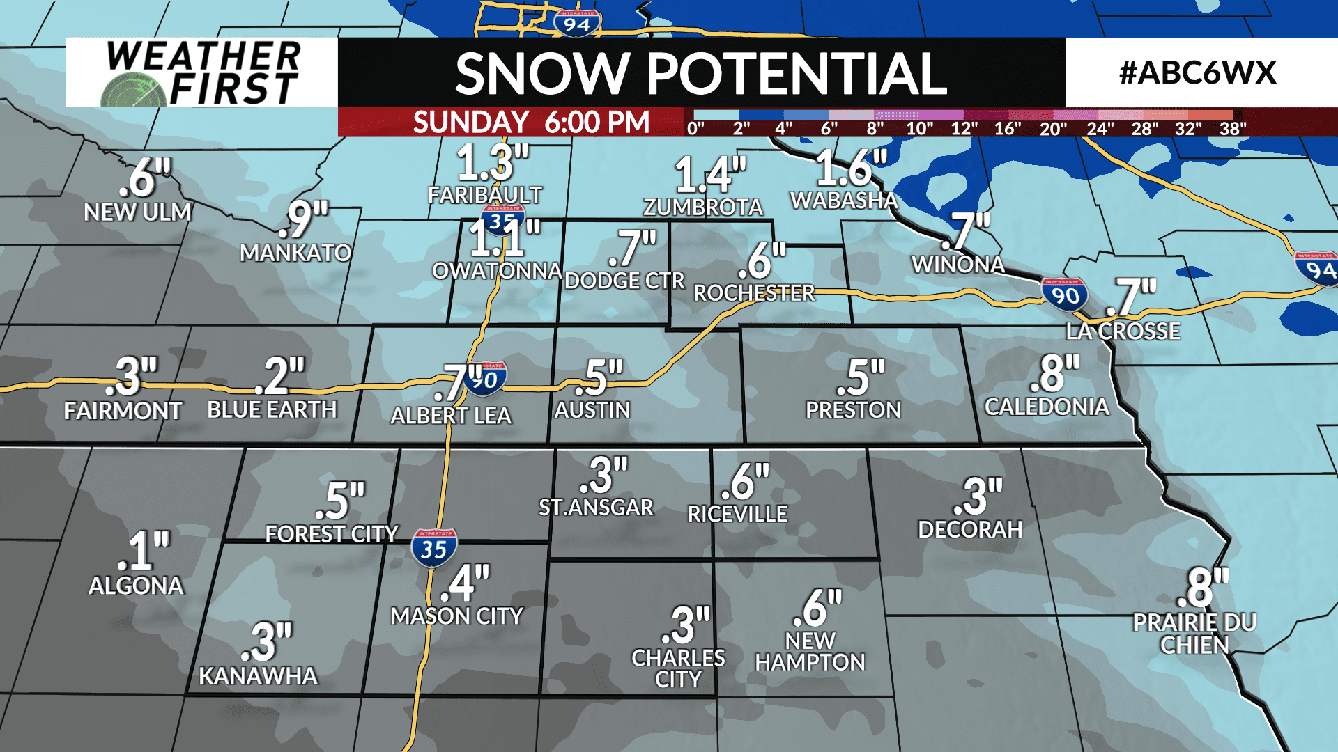
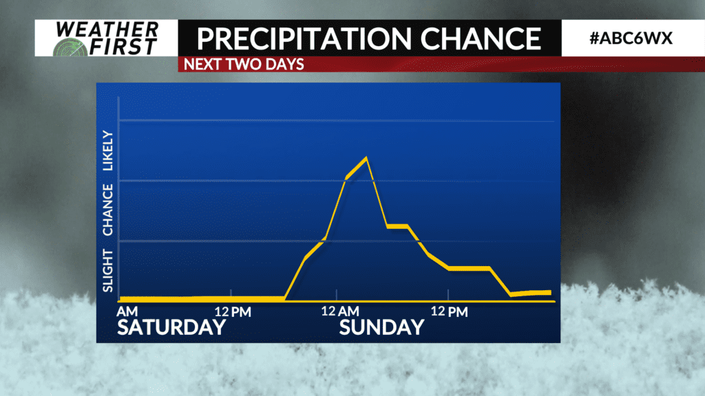
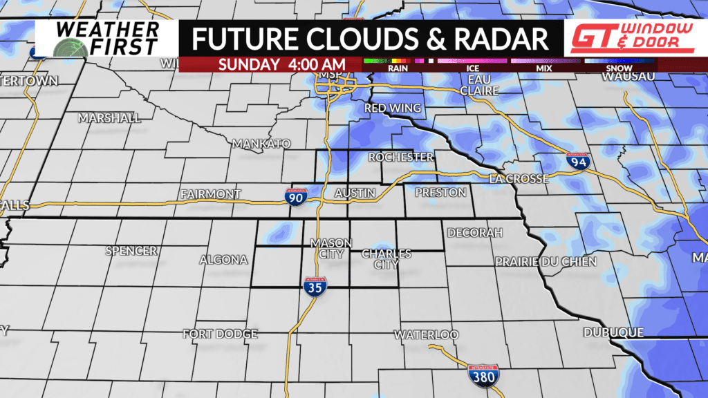
A chance of snow remains late Saturday into early Sunday morning, but it is not as promising as it was just a few short days ago.
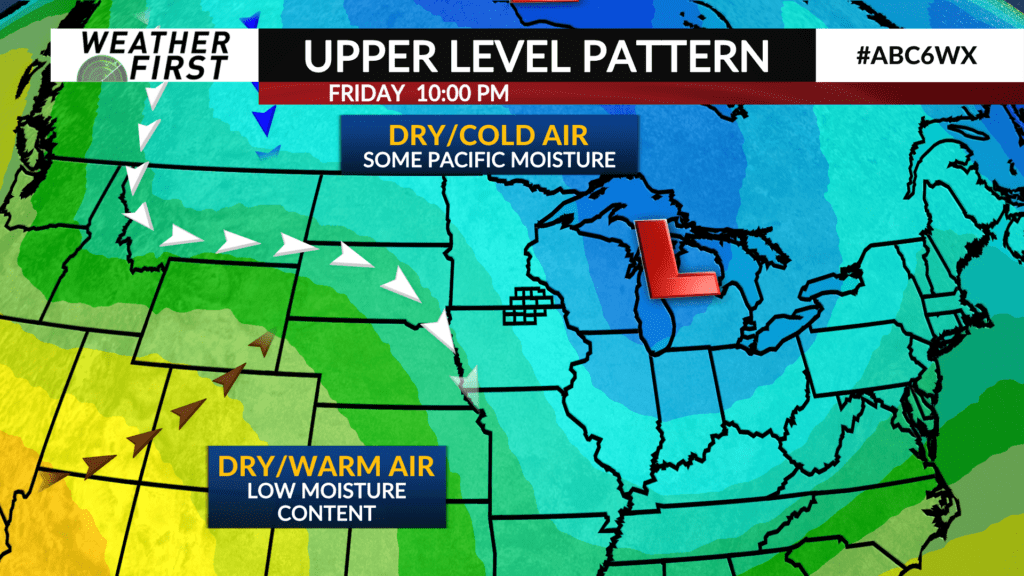
An Alberta Clipper type system is tracking across south central Canada and the north central United States this Friday evening. Said Alberta Clipper will continue to track in Minnesota’s and Iowa’s direction over the next 24 to 36 hours.
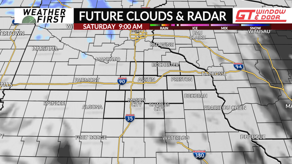
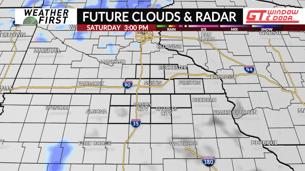
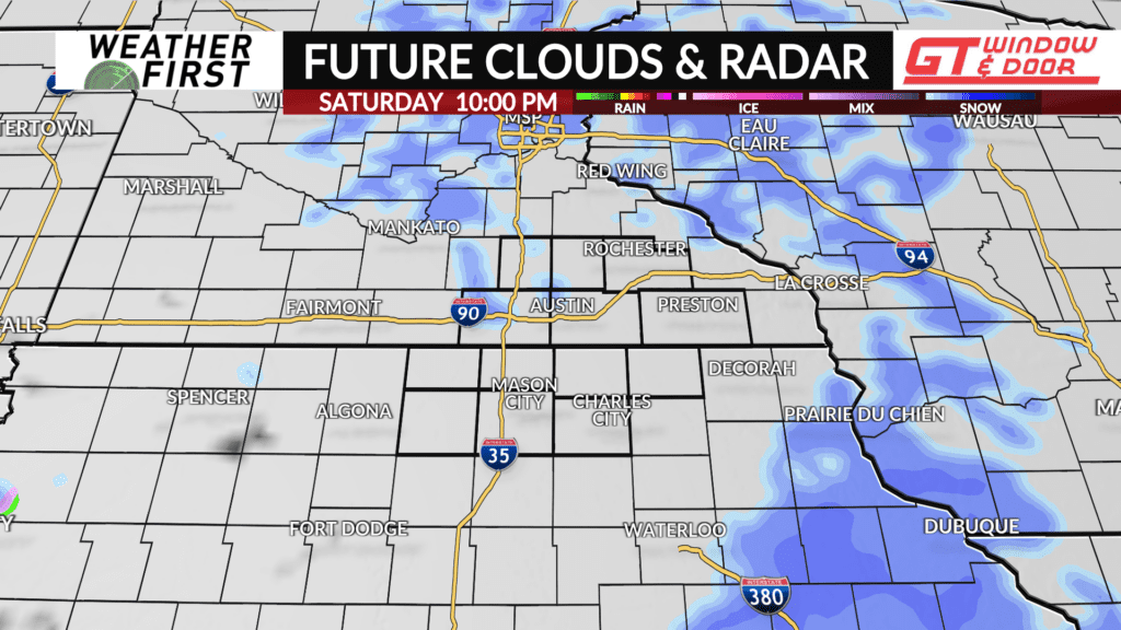
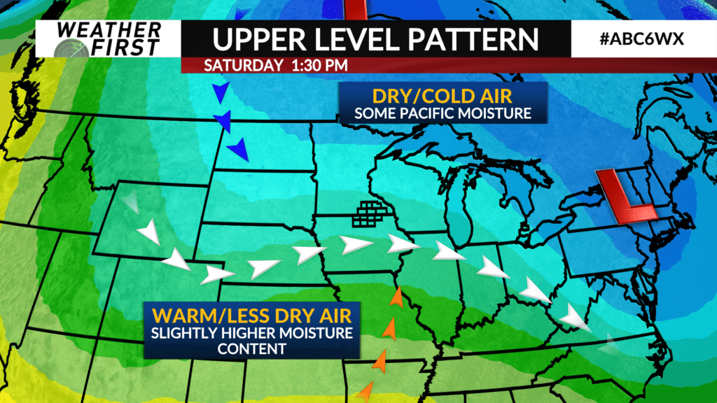
There is a fair push of Pacific moisture with this Alberta Clipper. However, the orientation of the upper level trough accompanying it will work against a widespread snow event for much of our area Saturday late afternoon through Saturday night.
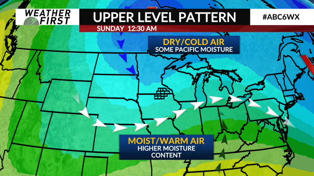
Warm, dry air will be brought north ahead of the trough, while cold, dry air will be brought south behind it. This collision of air masses does not bode well for significant snow totals or a widespread snow event across our area.
Forcing with the low pressure passing through also is looking to be displaced to the north and east of southeastern Minnesota and northern Iowa. Whatever moisture this system can squeeze out, it is beginning to look like it will hold off mostly to our north and east.
Of course, once the system passes through our area, it will strengthen across Wisconsin, with more moisture to work with and better forcing. With that said, it looks like another missed opportunity for significant snow here.
Snow accumulations will be kept under about 1″ for most locations, with less snow accumulation the further west and south you go. These accumulations may result in a few slick spots on the roads, but no substantial travel impacts are anticipated. Just remember to take it slow!
