Light snow chances Saturday night into Sunday
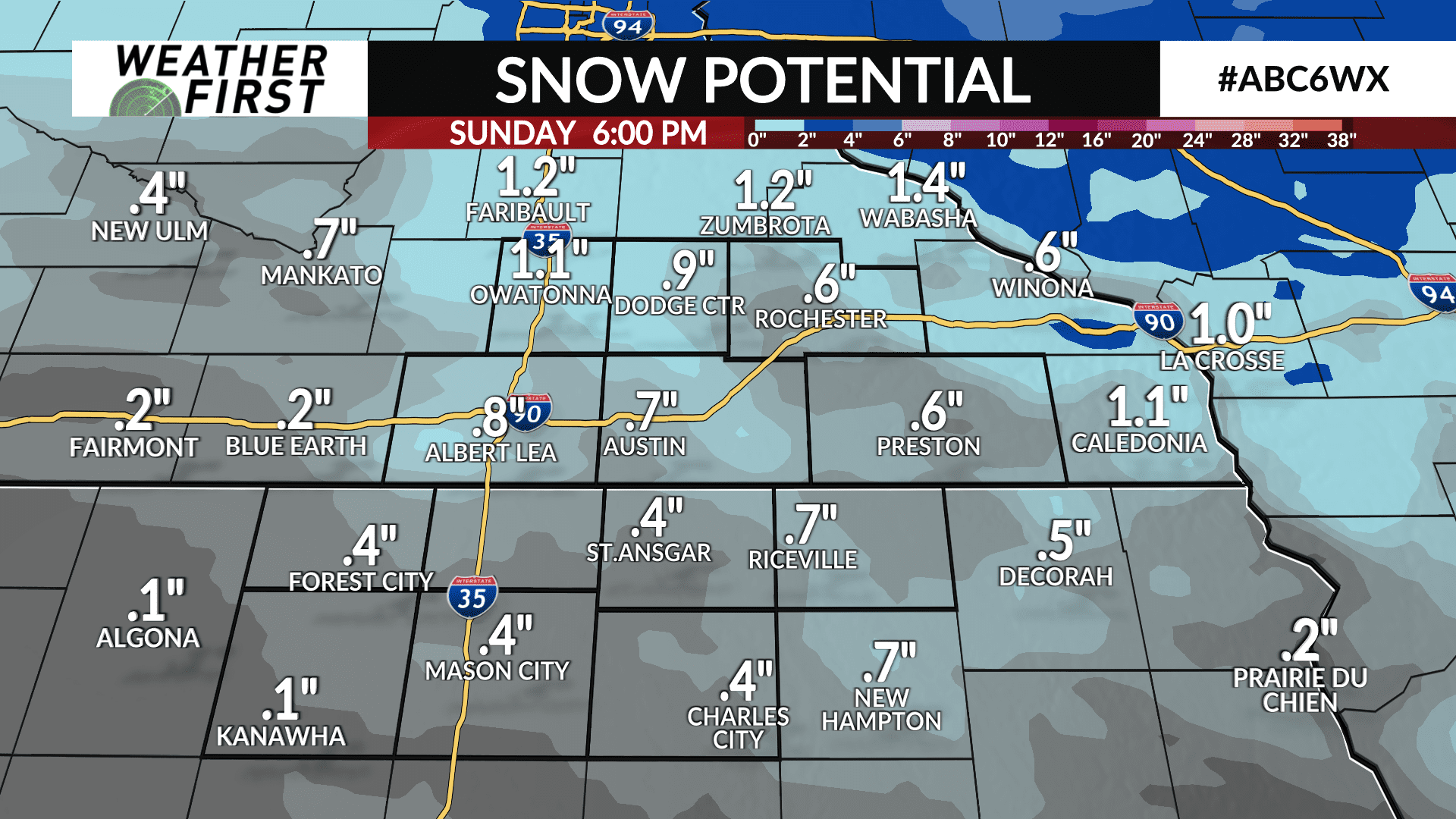
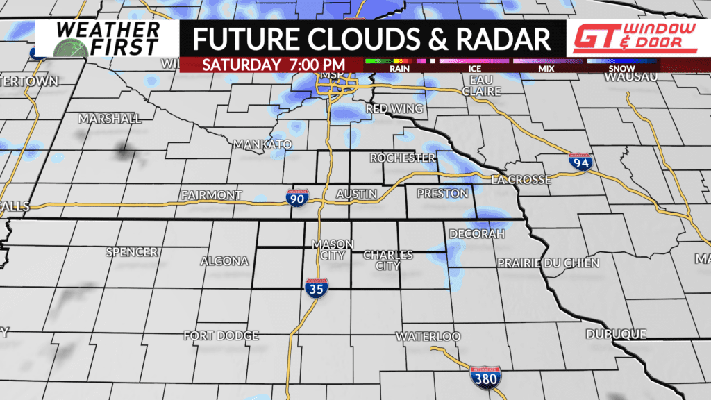
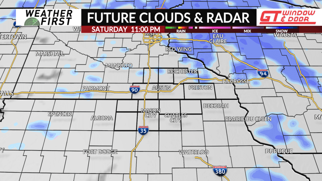
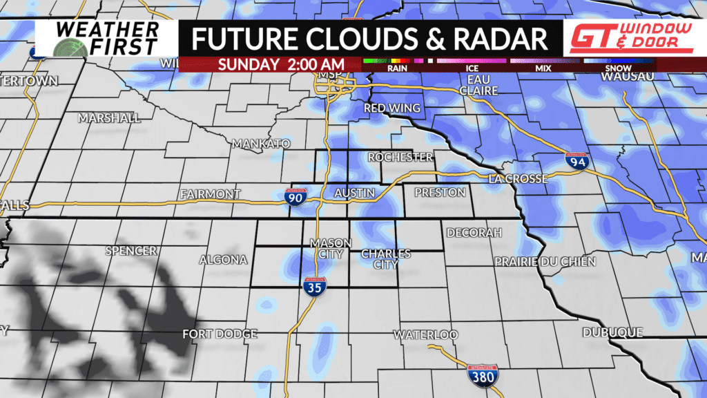
An Alberta Clipper continues to make its way southeastward this afternoon, across the Dakota’s and into Minnesota. This system will bring increasing light snow chances to the area this evening and overnight.
There is quite a bit of dry air in the lower and middle levels of the atmosphere across southern Minnesota and northern Iowa this afternoon. This dry air will hinder any significant widespread snow event across the area through Sunday morning.
The best forcing with this Alberta Clipper will also remain north of our area, across northern Minnesota and Wisconsin. With that said, this is not going to be a significant snow event by any means.
Snow accumulations will remain on the low side, under 1″ for most locations. The best chance of seeing slightly higher snow totals remain north of I-90 and east of I-35. Elsewhere, accumulations remain near to even under half an inch, especially across northern Iowa.
With the dry air mixing in, the chance for freezing drizzle in between snow bands is limited. Cannot rule out some freezing drizzle across the area, however. With that said, be cautious of a few icy spots on the roads Saturday night into Sunday morning. Best to be on the safe side, and take it a bit slower on the roads!
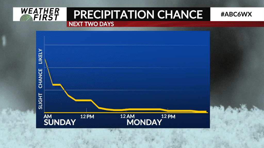
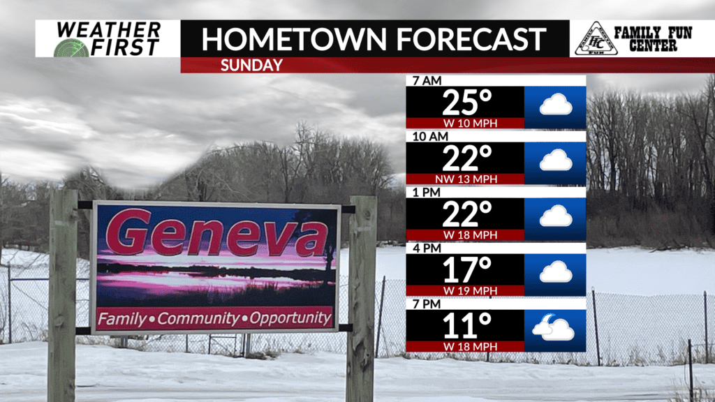
Snow chances come to an end throughout the day Sunday, with a few flurries lingering into the afternoon. Again, this will not be a major snow event, but any snow accumulation on roads can lead to slick spots!
