A cold night ahead, warmer Wednesday
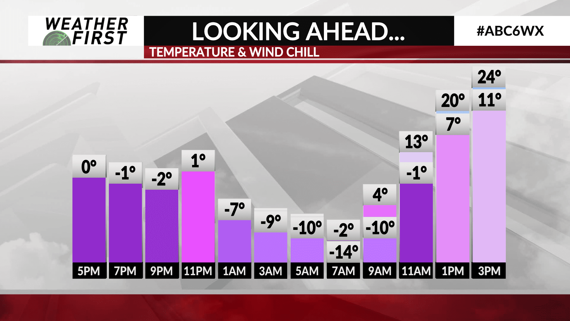
Keep those thick coats, hats, gloves and scarves on hand, because it is going to be another cold night out there across southeastern Minnesota and northern Iowa! There is a some relief on the horizon though, as soon as this time tomorrow, in fact!
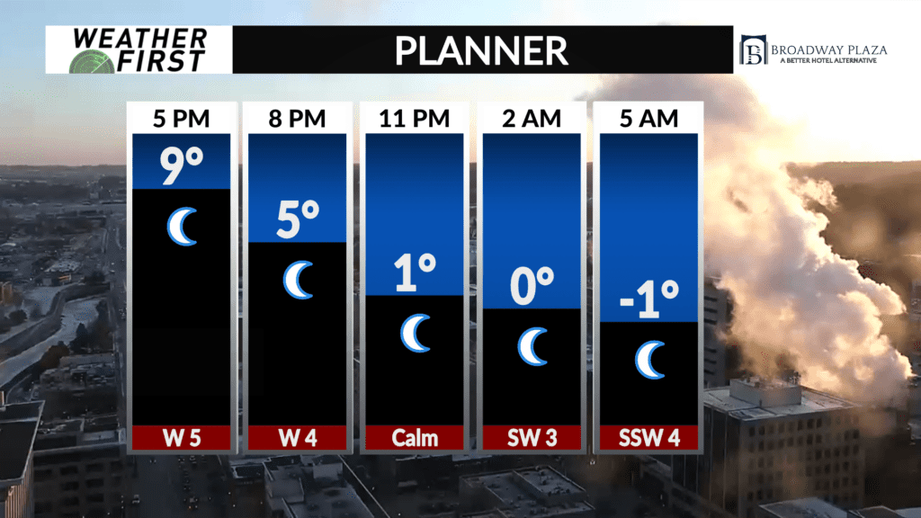
Temperatures are already in the single digits across the area this evening, and will continue to drop into the overnight and early morning hours Wednesday. Most locations will drop below 0F, with wind chills even colder! By early Wednesday morning, wind chills will be as low as -15F as you head out the door to head to work or school.
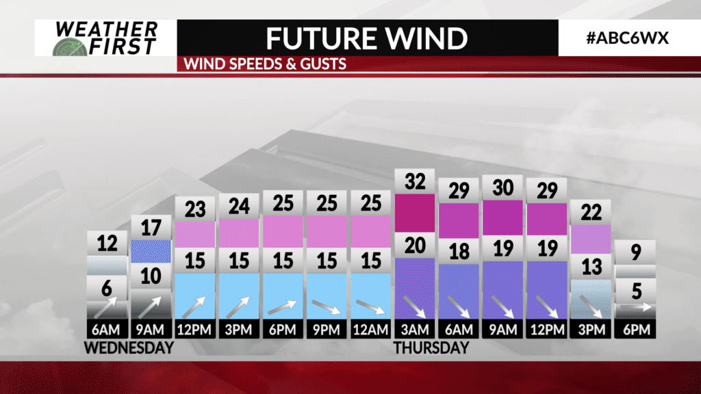
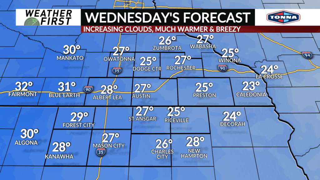
Thankfully, temperatures begin to finally rebound Wednesday, and in a dramatic way too! Southerly winds will kick up throughout the day, reaching a sustained speed between 5 to 15 mph by the afternoon, with gusts up to 30 mph. These same southerly winds will bring warmer north, and provide a big nudge in our high temperatures.
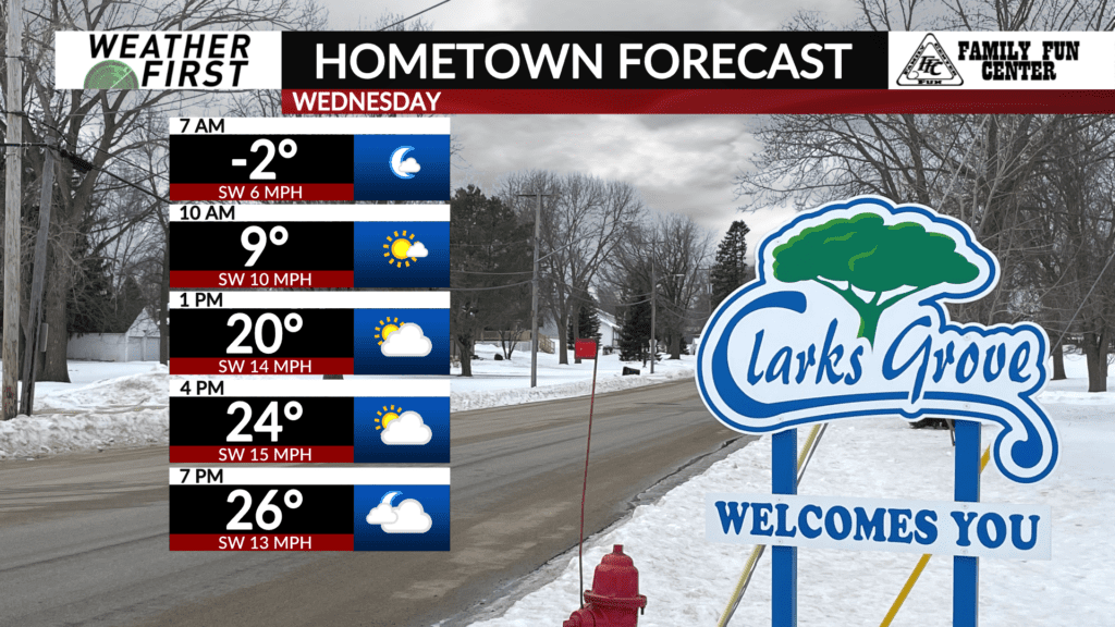
High climb into the mid to upper 20F’s Wednesday afternoon. It would not be at all surprising if some locations in northern Iowa reach 30F, if the sun stays out longer.
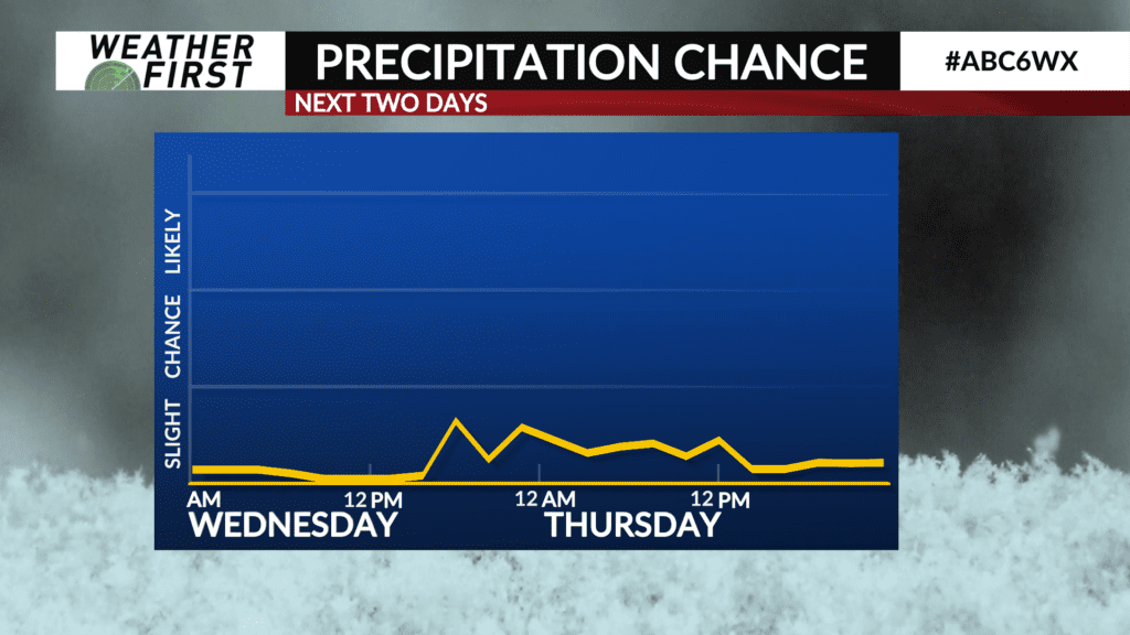
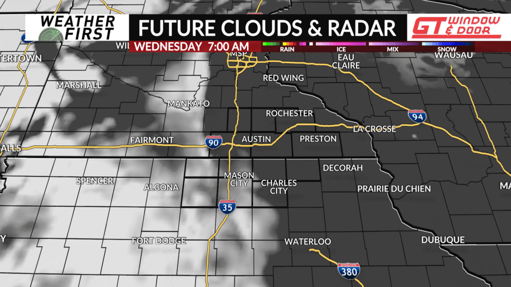
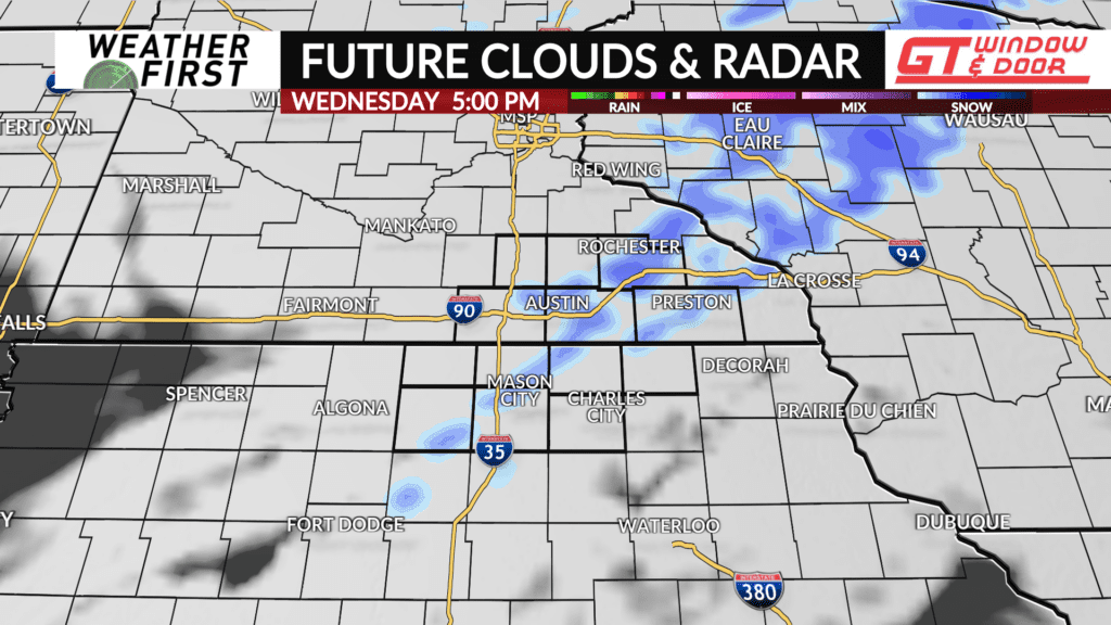
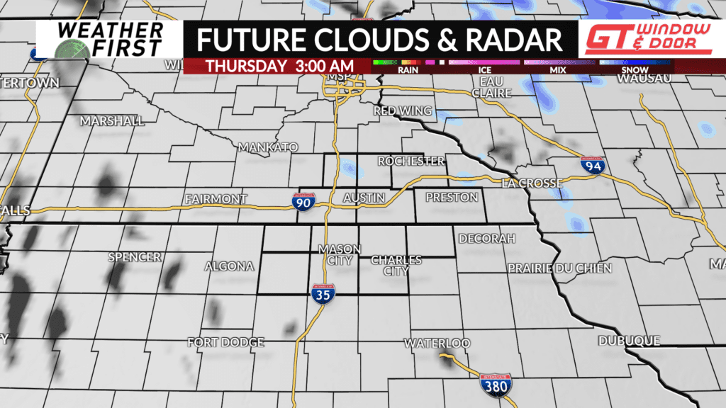
Speaking of the sun staying out, clouds will increase throughout the day as a warm front passes through our area. A tail of light snow flurries/showers may pass through late Wednesday afternoon along this warm front. No widespread, significant, or long lasting snow activity is expected.
Clouds hang around into Wednesday night, along with breezy southwest to northwest winds gusting up to 25 mph. This will keep temperatures from dropping much at all, staying in the 20F’s through Thursday morning.
