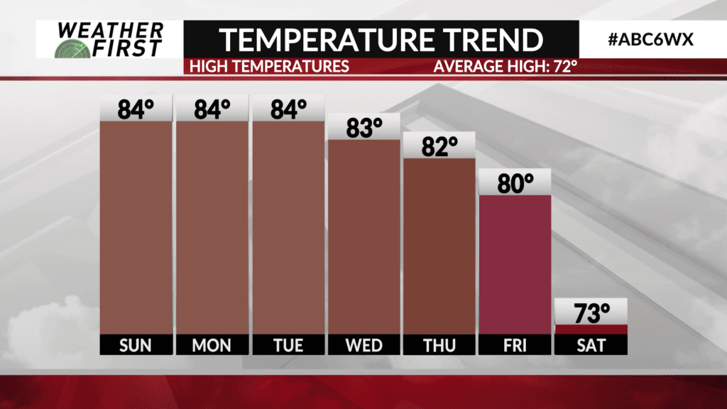
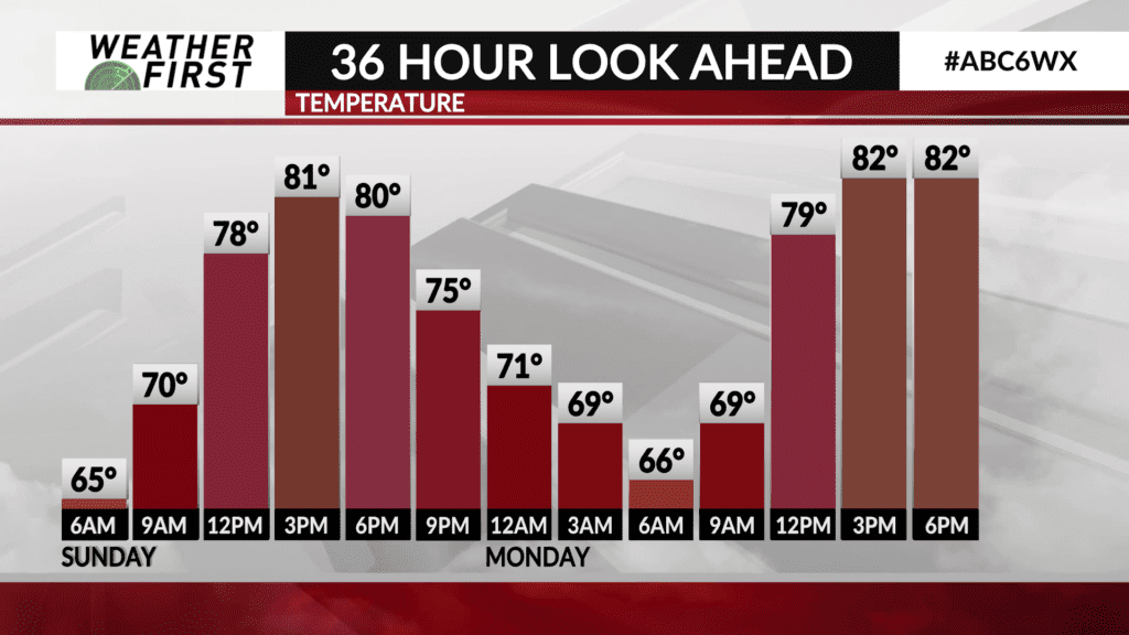
A sluggish weather pattern through midweek
Going to see a lot of the same type of weather around the Weather First area over the next few days thanks to a weather pattern off east that tends to back up the atmospheric flow and stall everything out. This will keep our temperatures fairly similar through the middle of the week, as well as keep precipitation chances low.
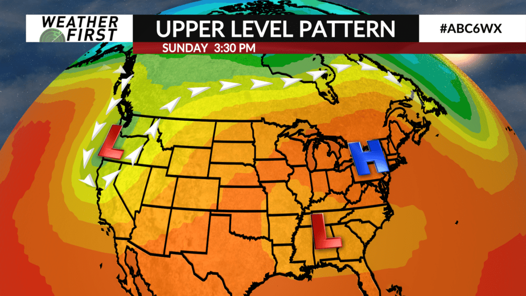
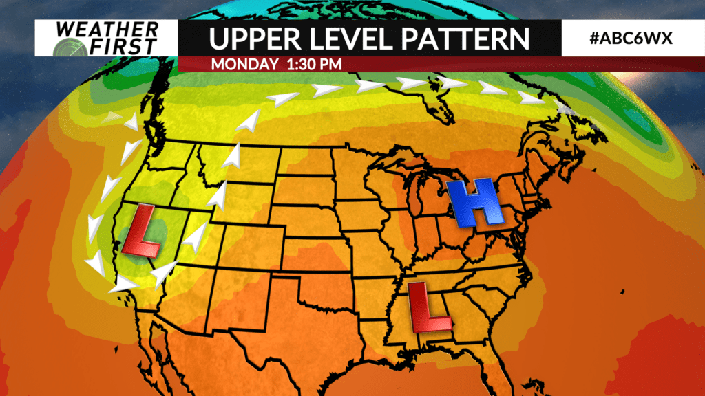
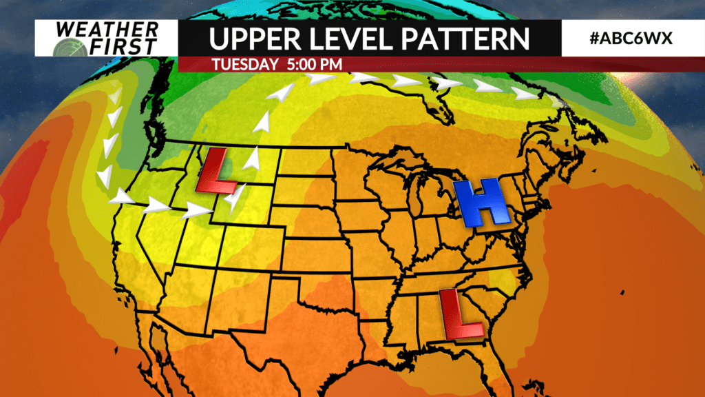
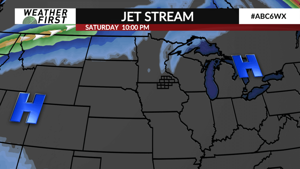
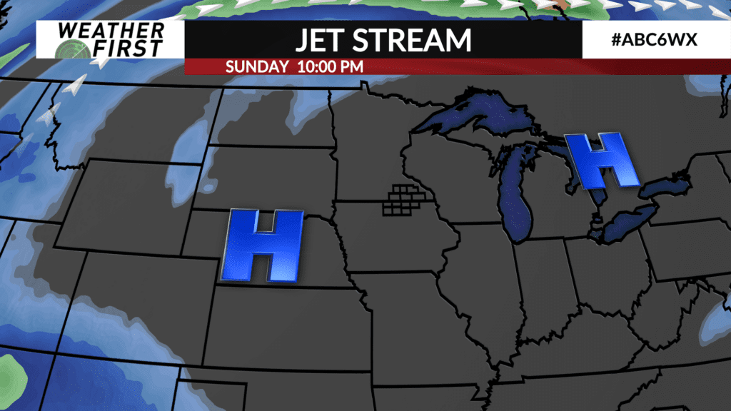
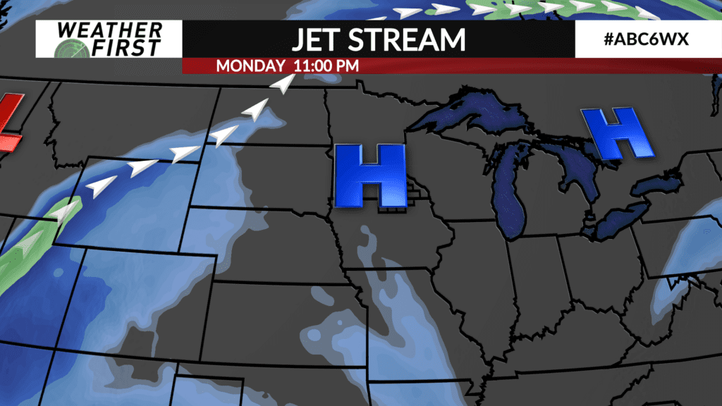
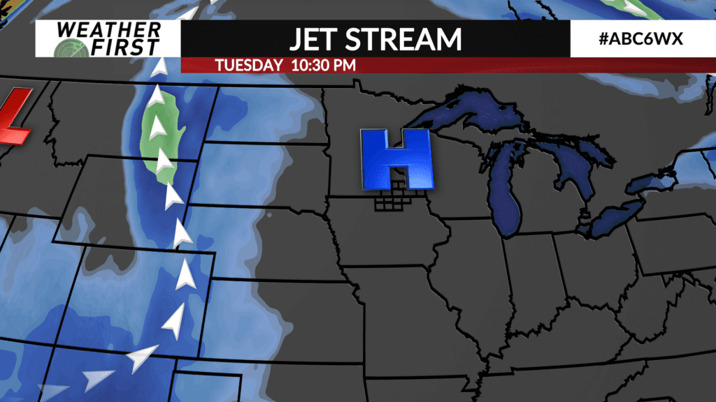
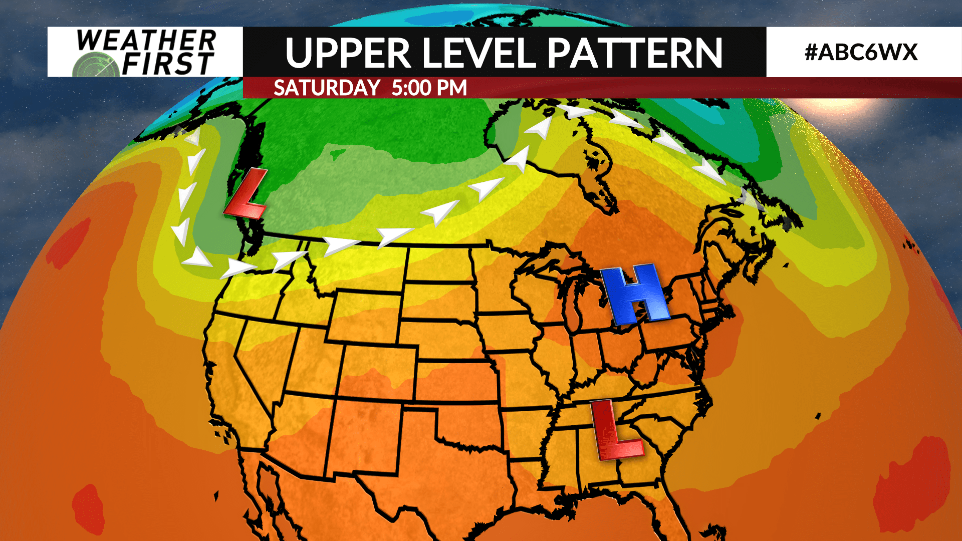
An area of high pressure is currently stalled out over the eastern United States, specifically the eastern Great Lakes region. An area of low pressure, associated with the remnants of Hurricane Francine, is trapped underneath this area of high pressure to it’s north. This fairly uncommon atmospheric setup is often known as a Rex Block. Rex Block’s are notorious for persisting for longer periods of time, preventing the progression of other weather features upstream of this feature.
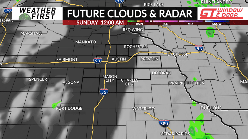
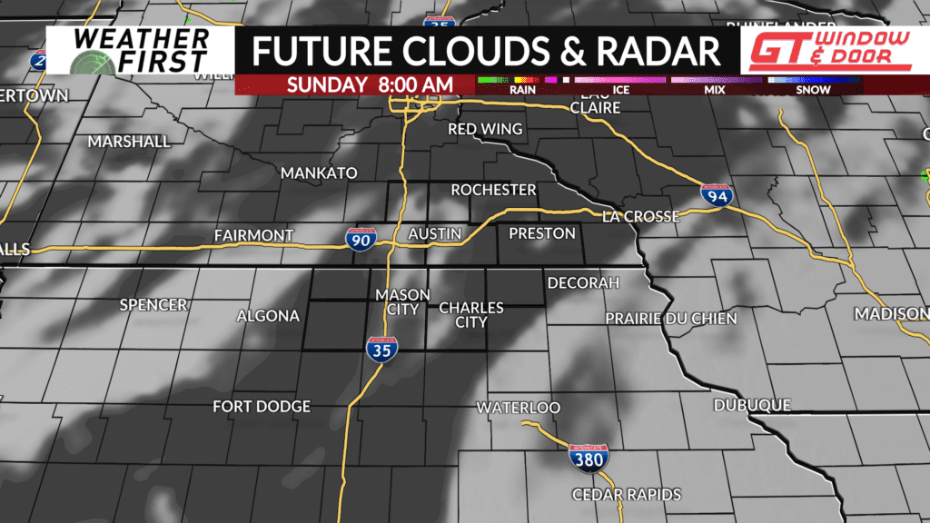
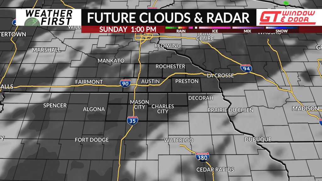
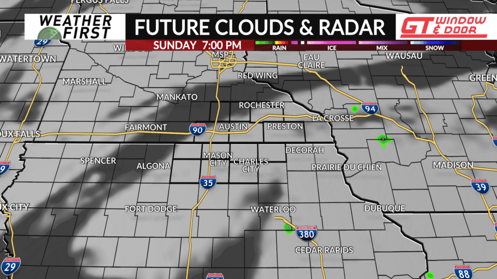
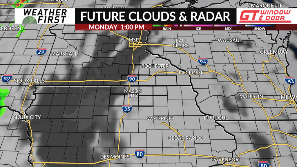
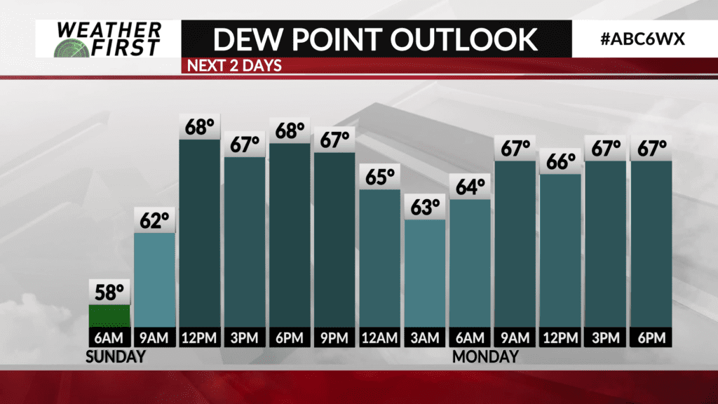
The result? Not a whole lot of change for most of the country in terms of weather this next week or so. Tropical moisture from the remnants of Francine will continue to stream northward across our area, leading to soupier dew points in the mid to upper 60F’s through Wednesday. High pressure to the east and over the Upper Midwest will keep any major precipitation events well to our west as well.
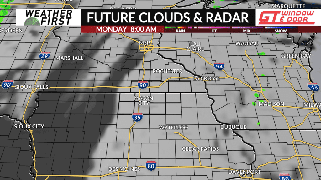
What this pattern will also do is keep summerlike temperatures sticking around through next Thursday. A trough of low pressure is expected to dig southward from Canada by the middle of the week, but until the Rex Block breaks down, this trough will not be able to advance our way much. This will keep rain chances and cooler air from reaching our area until sometime next weekend.
Until then, highs are forecast to be in the low to mid 80F’s across southeastern Minnesota and northern Iowa through Thursday, with 70F’s arriving to end the week. Dew points in the mid to upper 60F’s will keep things feeling humid around here, as well as summerlike as well!