A soggy and cooler Sunday ahead

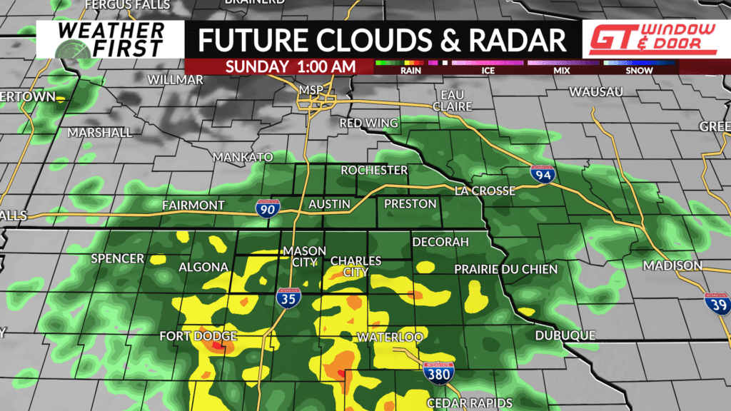
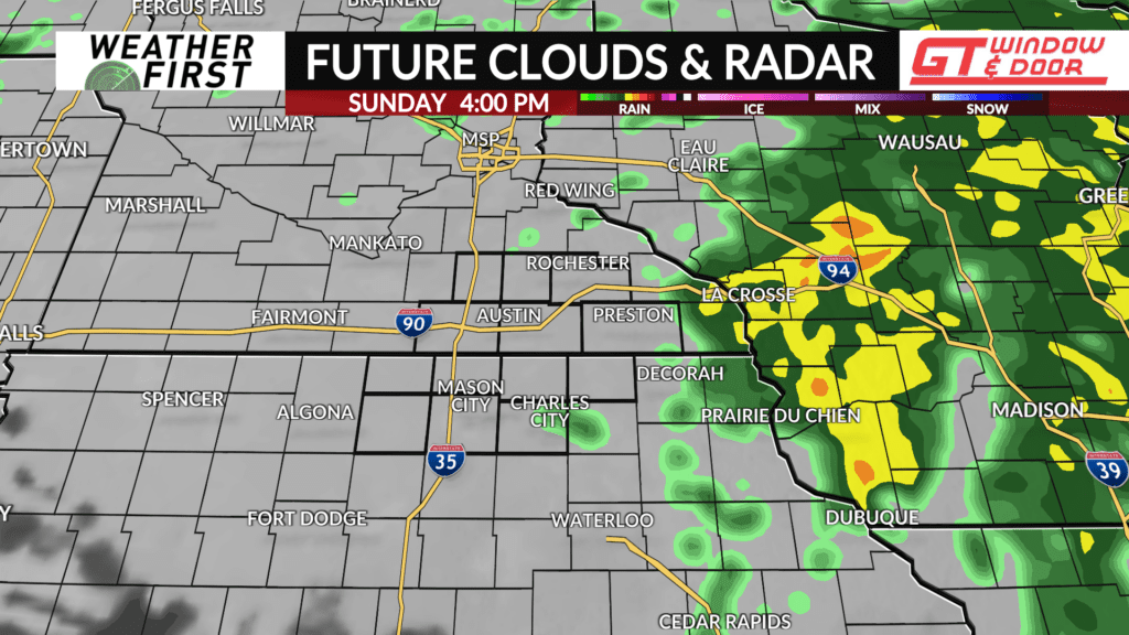
Clouds have thickened out there this afternoon, indicating a warm front approaching our area from the south. This warm front, and accompanying low pressure, will bring a high chance of widespread rain across the area late Saturday night through the day on Sunday.
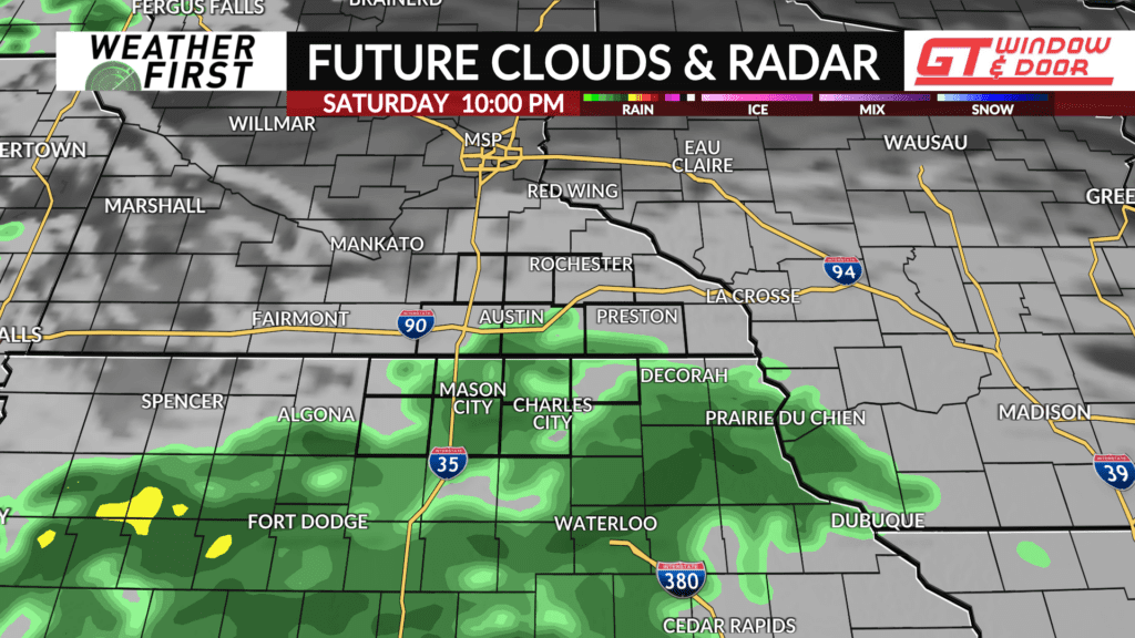
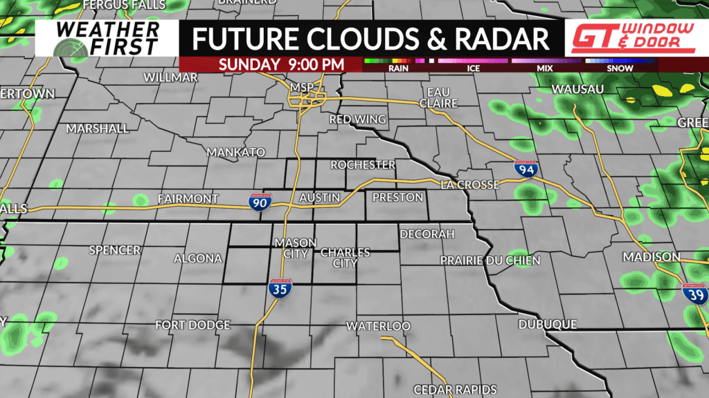
If you are heading out this evening, you may want to bring an umbrella just in case. The best chances of rain hold off until around midnight, but current radar trends suggest our northern Iowa counties may see rain starting around 9-10PM.
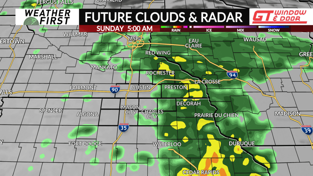
Temperatures will only drop into the low to mid 40F’s for most of us given the increasing cloud cover. Rain becomes likely after midnight, with some areas seeing up to half an inch of rain, especially across our northern Iowa counties. Southeastern Minnesota will not see as much, but can still expect up to a quarter of an inch of rain by morning.
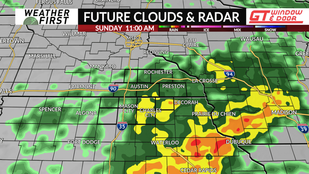
Rain remains likely through the day on Sunday, but some dry time is possible. Model guidance is fairly split between us drying out almost completely Sunday afternoon and rain continuing into Sunday evening. Regardless, I am keeping a likelihood of rain throughout the day. If you have any plans, you will need the umbrella heading out the door!
Temperatures will not climb much during the day Sunday, given the cloud cover and frequent rain. Highs will be in the low 50F’s for most of the Weather First area, but it wouldn’t be at all surprising if some areas barely reach 50F.
Winds will be quite breezy out of the southwest, at around 15 mph, perhaps gusting up to 30 mph. The overall theme for Sunday is dreary, windy and chilly. A good day to stay inside, relax, cozy up with a good book or catch up on a good TV show!


