Active pattern setting up for next week

The weather pattern looks to turn more active next week which could result in several chances for rain.
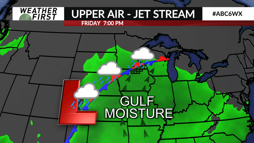
There is still a high degree of uncertainty on how things will play out. A low pressure system will develop over the southwest United States and track northeast into the central part of the country by the middle of the week. It’ll pull up quite a bit of Gulf of Mexico moisture into the area. A stationary front will lay itself out somewhere in the region – whether that’s over our local area or further south remains to be seen. That will be the focal point of some heavy rainfall.
Beforehand, a weak wave will track through Iowa late Sunday into Monday leading to the chance of showers mainly in Iowa. Another wave will lead to more widespread chances for rain on Tuesday.
After that, the pattern remains a little more muddy and uncertain as more waves of energy will traverse the area leading to additional chances for rain including heavy rain.
Details will be ironed out in future forecasts.
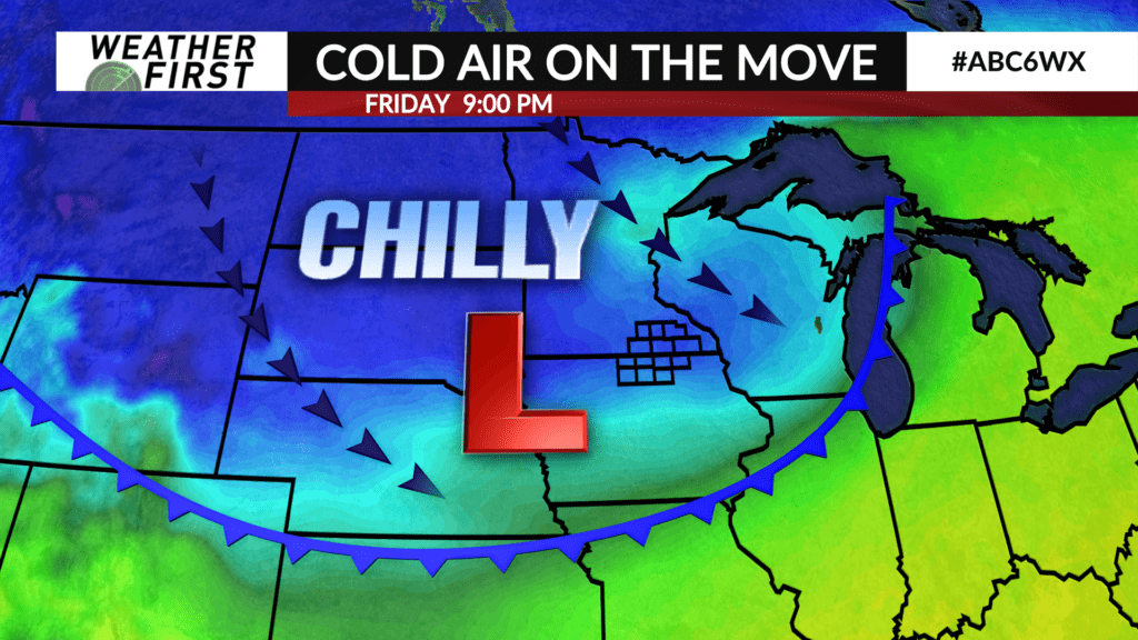
There are also signals that chilly Canadian air will drift south and settle overhead as October ends and November begins sending temperatures well below-normal.