Another record breaking day ahead!
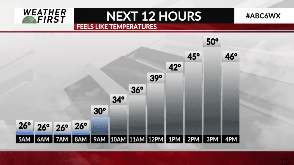
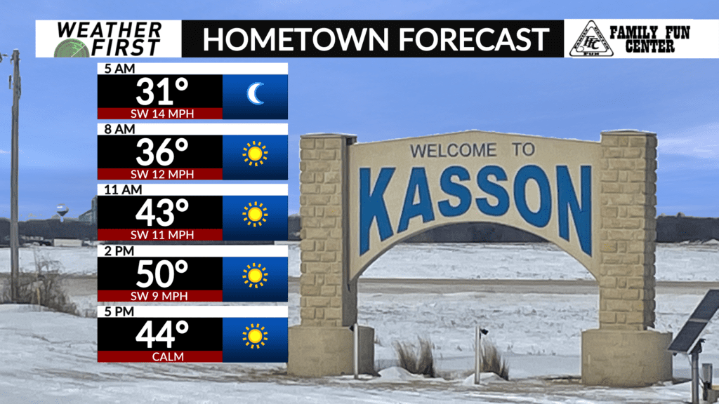
It’s going to be yet another mild day out there today, and not just mild, but record warm for most!
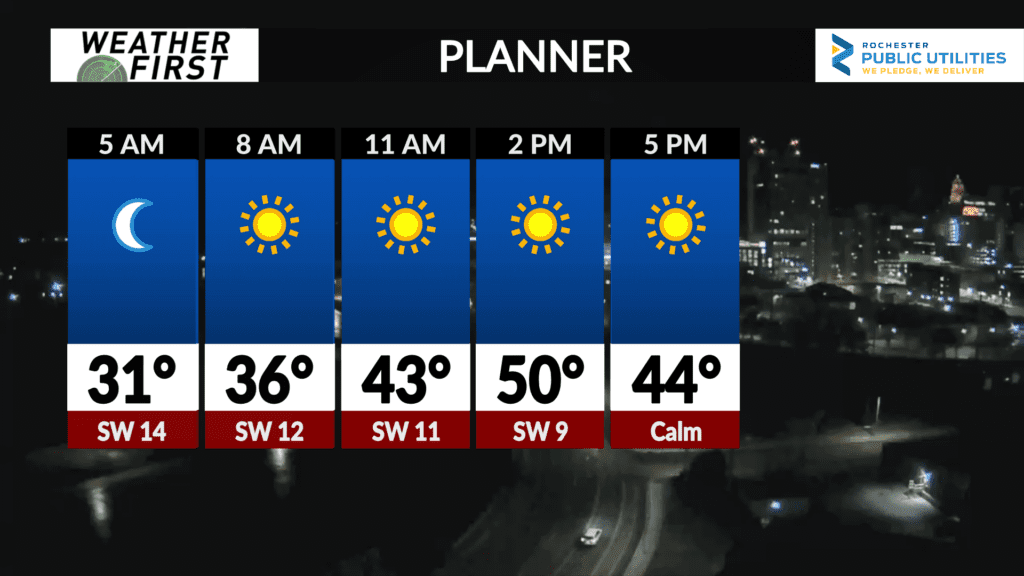
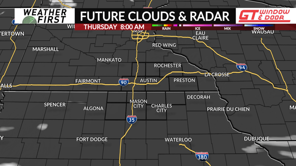
Skies remain generally clear across the area this morning, and this will continue to be the case through a majority of the day today.
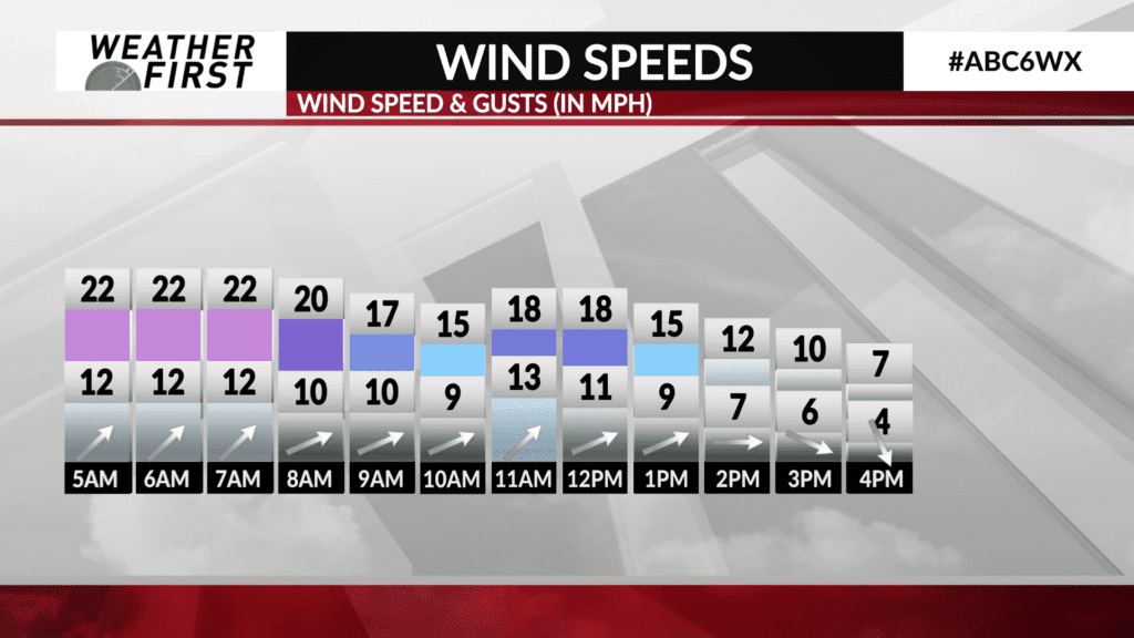
Winds are a bit breezy out of the southwest at around 10 to 15 mph or so, adding a bit of a chill to the air, but these winds will diminish slightly throughout the day today.
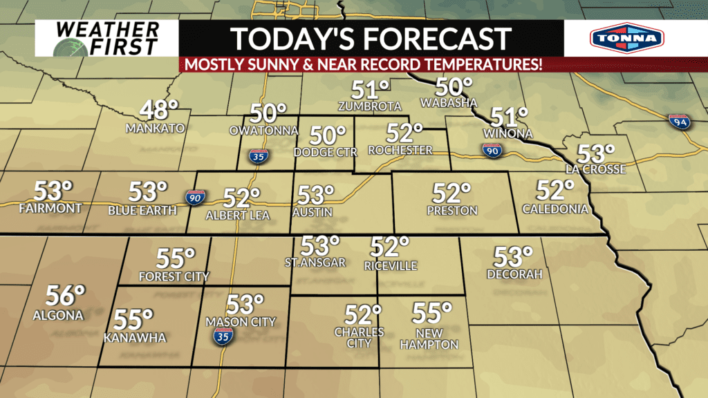
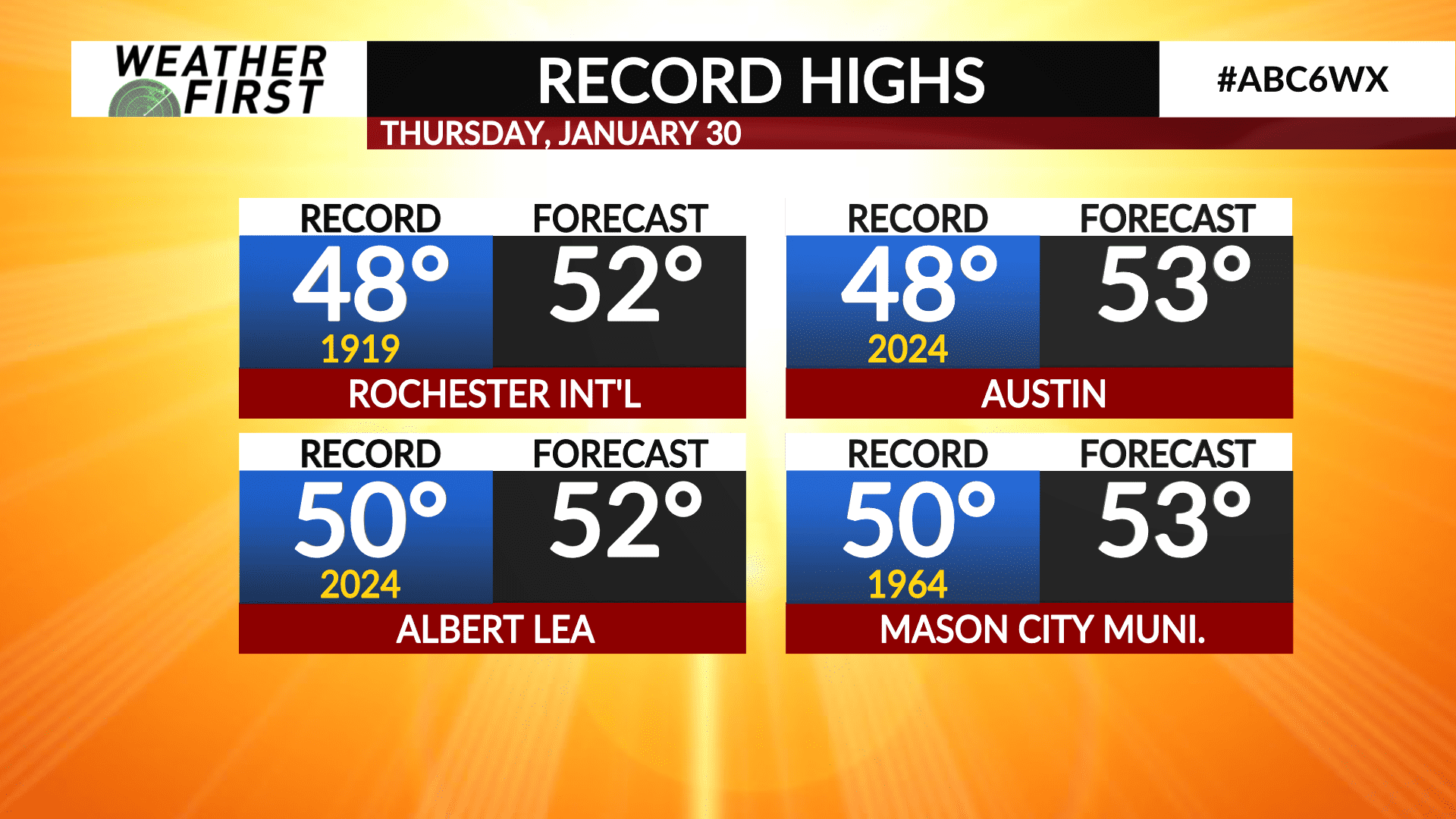
High temperatures will climb into the lower 50F’s across all of southeastern Minnesota and northern Iowa, which is above nearly every location’s record high for January 30th!
To put these temperatures into context, Rochester’s current record high of 48F was set back in 1919. The forecast high for today is 52F!
For other locations though, the previous record high is only a year old! Austin and Albert Lea both set record high temperatures in 2024, and it seems likely that they will set a record high for the second year in a row!
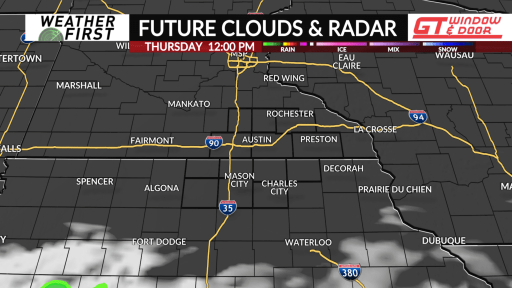
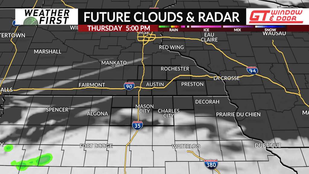
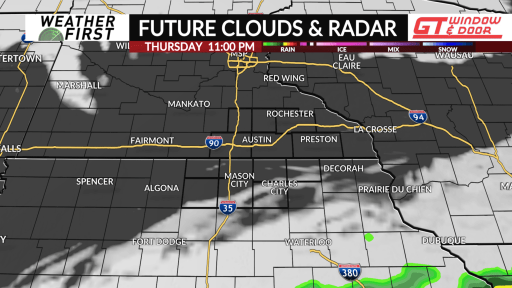
Clouds may increase slightly south of the Iowa/Minnesota border this afternoon as an upper level low passes to the south. There is a slim chance for a spotty shower or two across our northern Iowa counties later this evening, but odds favor us all remaining dry.
Temperatures cool down into the mid 20F’s Thursday night into Friday morning, which is still above the average high for this time of year!
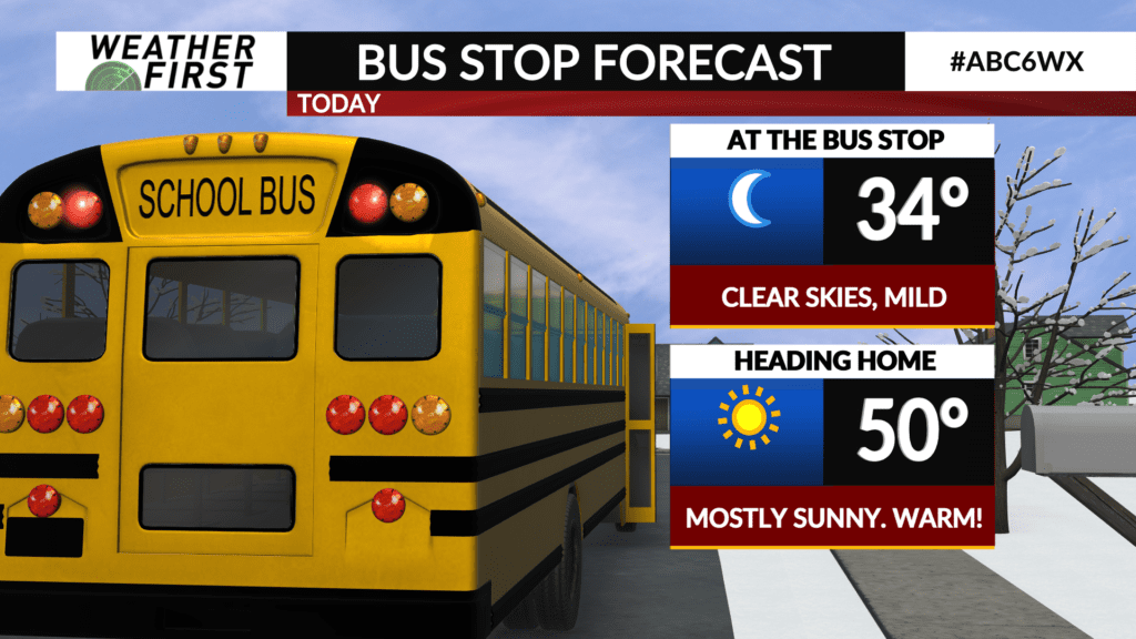
The bottom line is today is going to be a BEAUTIFUL day, with it feeling more like early April than late January!