Can nature spare a flake or warmer temperatures?

There are two big questions most of us likely have at this point in time:
1.) Where is the snow?
2.) How long with the warmer temperatures later this week stick around?
Well…we can’t say for sure what the answer to either of these questions is, but we can speculate what things will look like across the Upper Midwest through mid January!
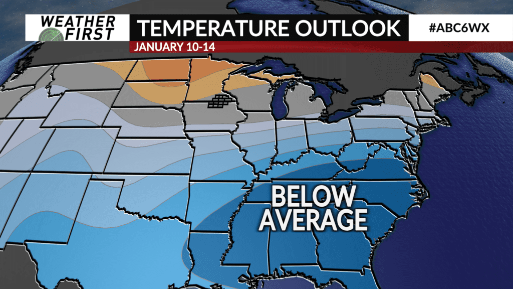
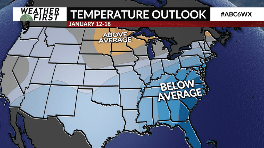
The Climate Prediction Center is calling for most of Minnesota and northern Iowa to be above average in terms of temperatures not only into the middle of January, but through it as well.
For perspective, the average high temperature for this time of year in Rochester, MN, is 23F, with the average low being 8F. Highs in the mid to upper 20F’s later this week and through next weekend will put us above average, verifying the CPC’s outlook! How relieving after DAYS of near 0F temperatures and wind chills below 0F.
But what about precipitation? Snow lovers want snow, and even some who don’t like the snow, such as yours truly, want snow at this point as well.
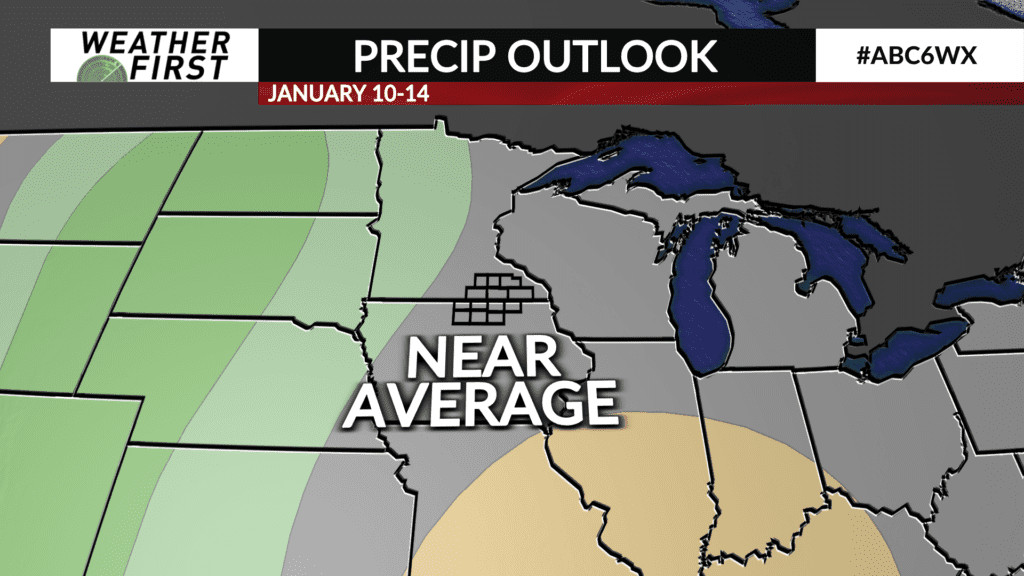
The CPC indicates that precipitation into the middle of January will be right around normal. However, the extended forecast has no legitimate snow chances in the forecast. With that said, the odds of a near normal precipitation forecast verifying across our area into the middle of January seems low at this time.
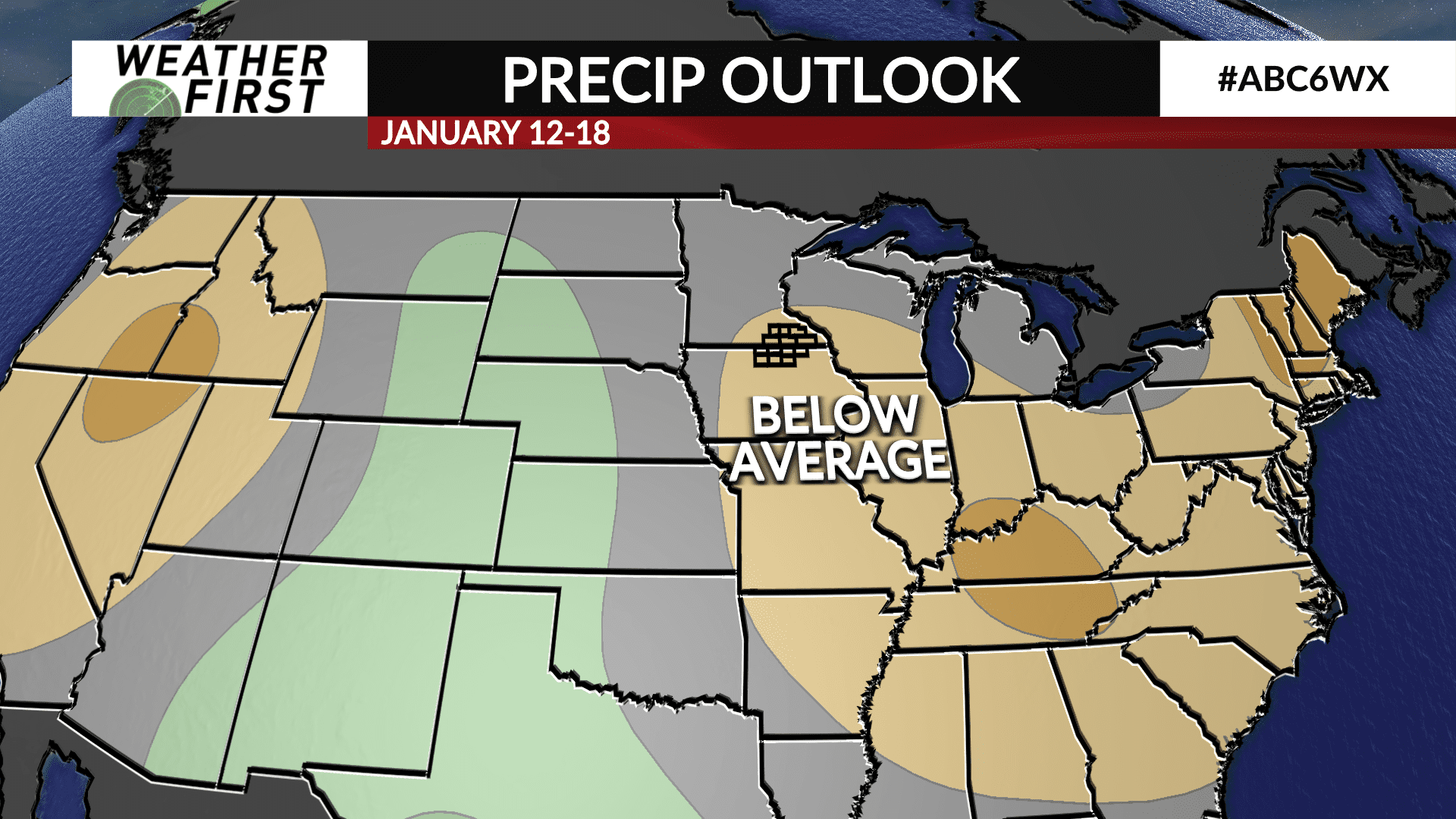
The CPC then predicts below normal precipitation through the middle of January. While this does not mean no snow will fall during this time, it does indicate that seeing snow during this time period may be a taller ask.
With all that said, a slightly warmer and drier period is expected across southeastern Minnesota and northern Iowa through the middle of January, which is not all that appeasing to those who want snow on the ground. We can hope though!


