Chances for showers Wednesday and Thursday
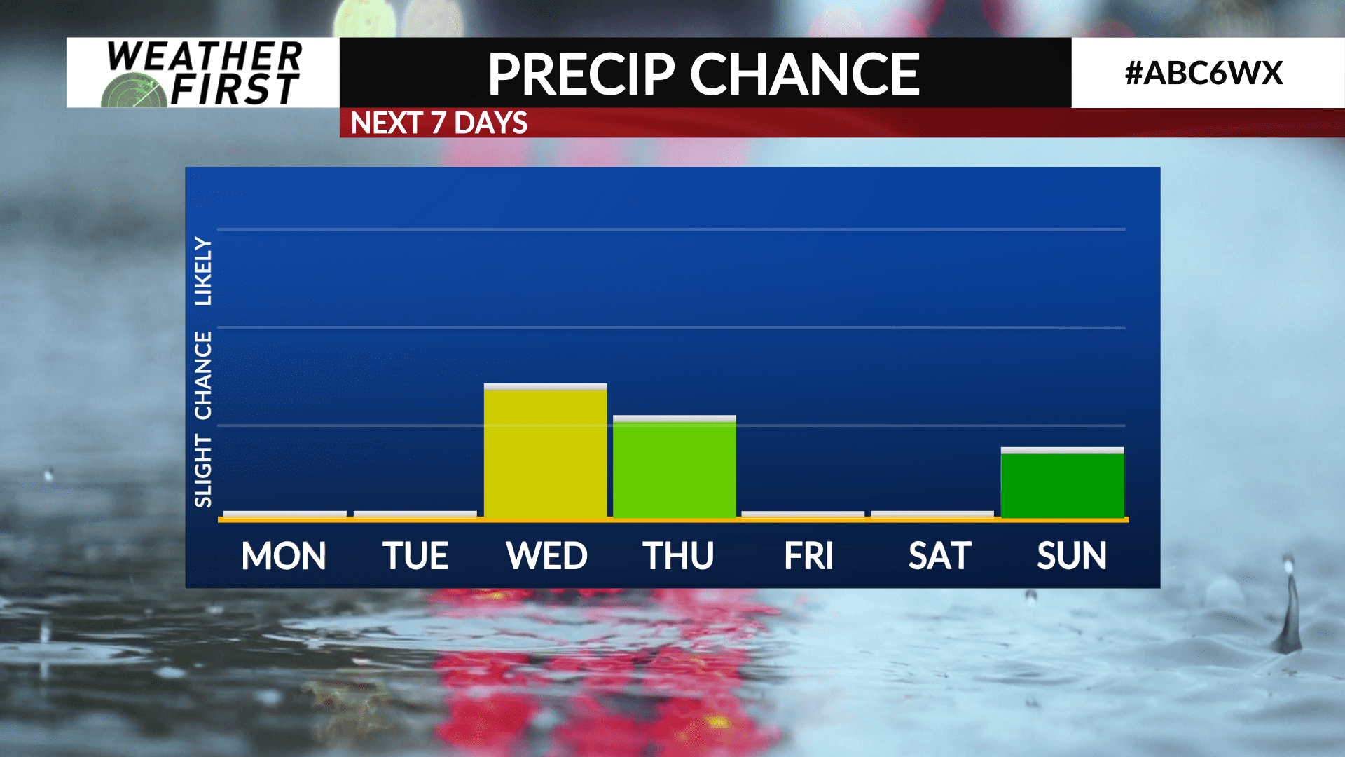
While there are no significant storm systems on the horizon, there is a lower end chance for a few showers Wednesday and Thursday.
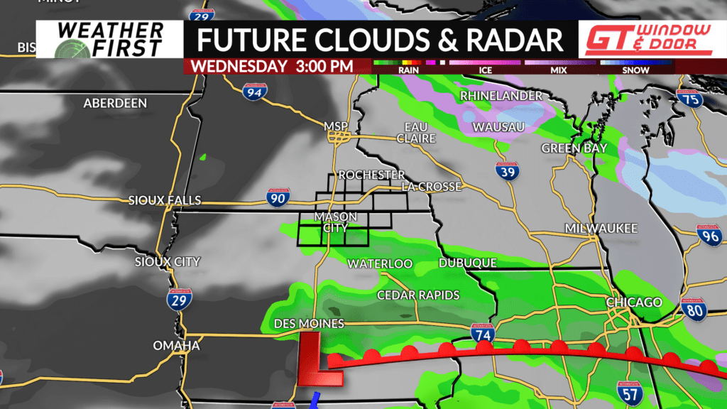
An area of low pressure will pass us by to the south Wednesday into Wednesday night. At this time, it does not appear this area of low pressure will be particularly strong. Because of this, northward moisture return does not appear to be particularly impressive either.
With that said, widespread precipitation is not anticipated at this time. There will be enough moisture and lift, however, to at least lead to scattered shower development Wednesday afternoon. Not everyone will see precipitation, but having an umbrella handy will be a good idea Wednesday.
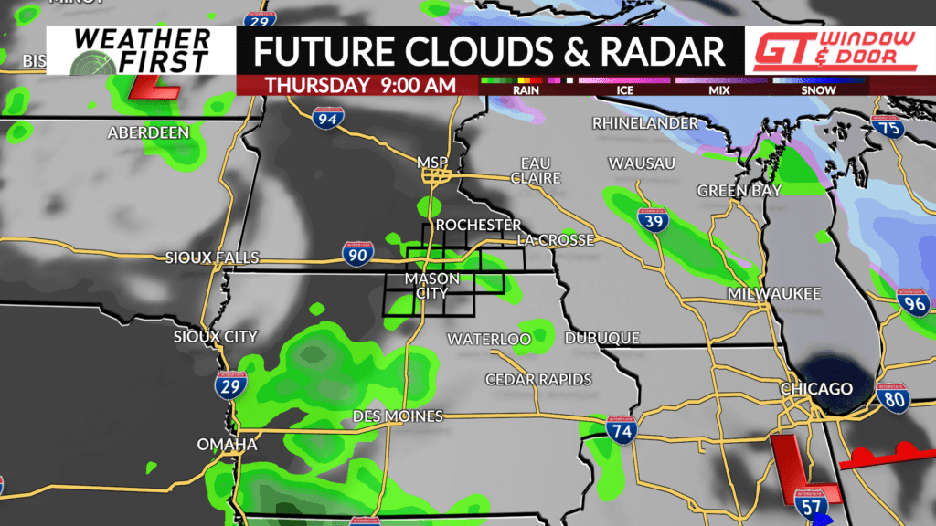
Shower chances continue into Wednesday night, but decrease as the low pressure to our south slides east.
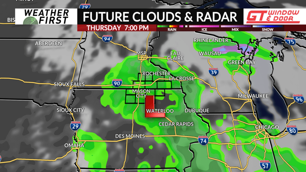
Another area of low pressure will slide quickly southeastward across Minnesota and Iowa Thursday. This area of low pressure will remain weak, but similar to Wednesday, will have enough lift and moisture to produce scattered showers.
Chances for rain Thursday are once again on the lower end, but having the umbrella on hand would not be the worst idea.
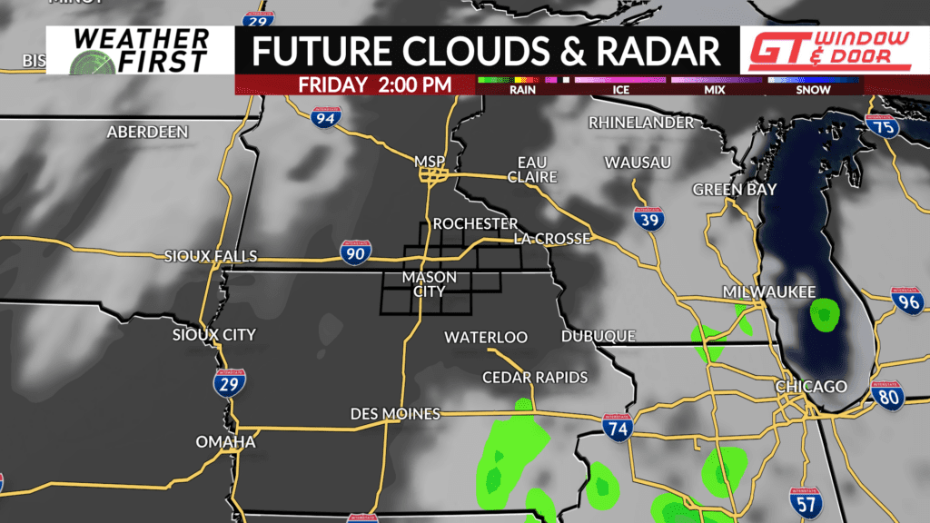
Rain chances come to an end Thursday night, giving way to more sunshine just in time for Friday!
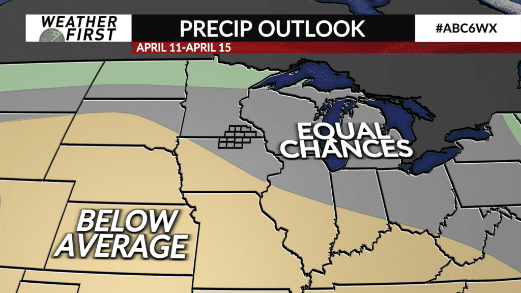
In the longer term, there are few chances for precipitation as of this time. The Climate Prediction Center has issued equal chances of our area seeing either above or below average precipitation but odds seem to favor us leaning more towards below average for the next 2 weeks.
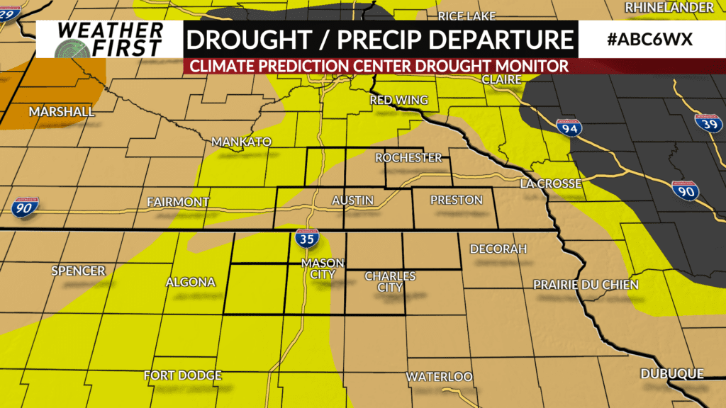
This is not the best news, as most of our area is still under a moderate drought from last fall. Below average precipitation during the wettest time of year does not typically bode well for avoiding drought later in the year, so hopefully this is only a short term trend.