Cold air arrives Friday setting up a December-like weekend
The stretch of mild late October weather has ended. A cold front passed through the ABC 6 Weather First area early Friday morning and as a result, temperatures have begun to plunge.
Cold air will continue to move in on the heels of a brisk northwest wind gusting to 30 mph at times.
Temperatures will fall through the 40s and eventually the 30s heading into the afternoon. The brisk wind will lead to wind chills in the 20s by late afternoon and evening.
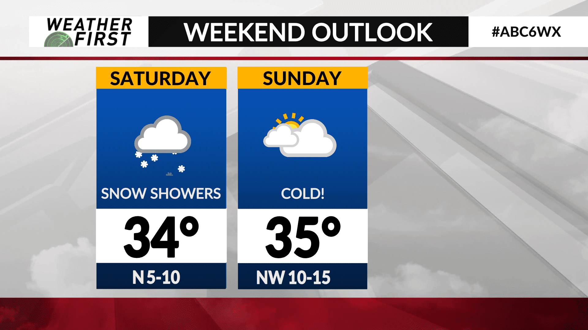
The weekend will resemble more December-like temperatures as highs will only manage the 30s for both Saturday and Sunday.
A weak system will track through on Saturday leading to the chance for snow showers during the afternoon and evening. Accumulations up to an inch are possible mainly on grassy surfaces, however as temperatures drop further into the 20s Saturday night into Sunday, there may be some slick spots on roads, sidewalks, parking lots, etc.
The cold air and below-average temperatures will carry over into next week.


