Colder weekend ahead with rain likely, possibly some snow
The near record-warm temperatures that will grip the area on Friday will be short-lived as much colder weather will arrive over the weekend along with rain and possibly snow.
A few showers and isolated thunderstorms are possible Friday night into Saturday as energy ahead of the main storm system pushes into the area.
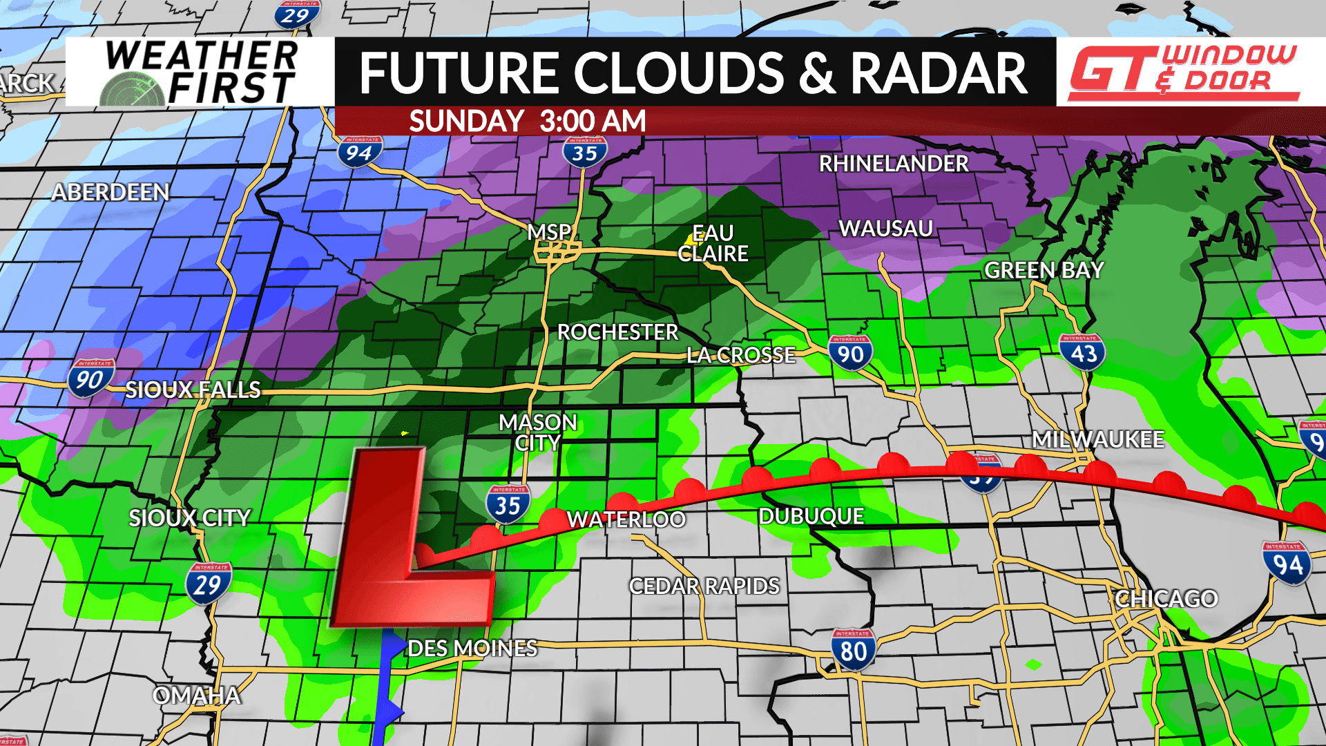
Showers will become more likely by late morning into the afternoon on Saturday. It’ll be a breezy day with a southeast wind gusting up to 25 mph at times. Temperatures are expected to be around the middle 40s for afternoon highs. Widespread, and heavier showers, will be likely Saturday night into Sunday morning. A few snowflakes are also possible as temperatures are expected to hover around the middle 30s and only recover to near 40° for a high by afternoon.
Another wave of energy will arrive Sunday night into Monday. Temperatures will likely be cold enough for snow with some slushy accumulations possible, but it depends on the track of this wave which is still uncertain. Specifics will become clearer heading into the weekend.


