Evening flakes, warmer again Thursday
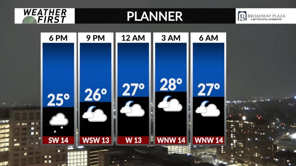
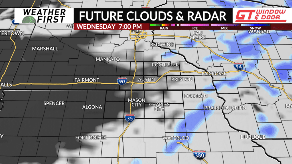
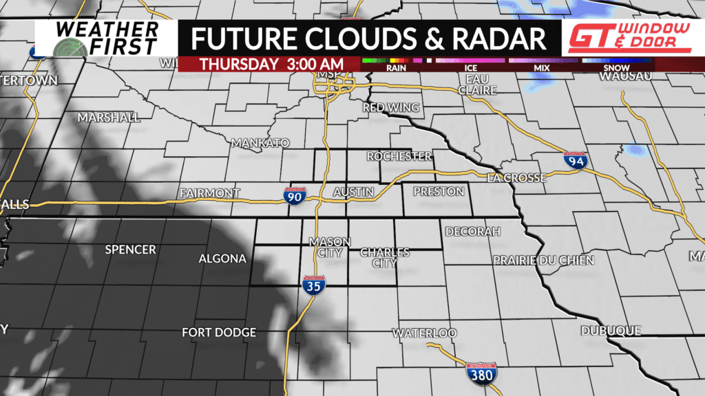
Flakes are falling in many locations across southeastern Minnesota and northern Iowa this evening as a warm front pushes through the area. Snow will gradually come to an end by the mid evening hours, with a chance for some freezing drizzle as well.
There are no major travel impacts being reported at this time across the area, but there will be slick spots on the roads if they receive a light coating of snow or glaze of ice. If you encounter these slick spots, remember to just take it slower per usual!
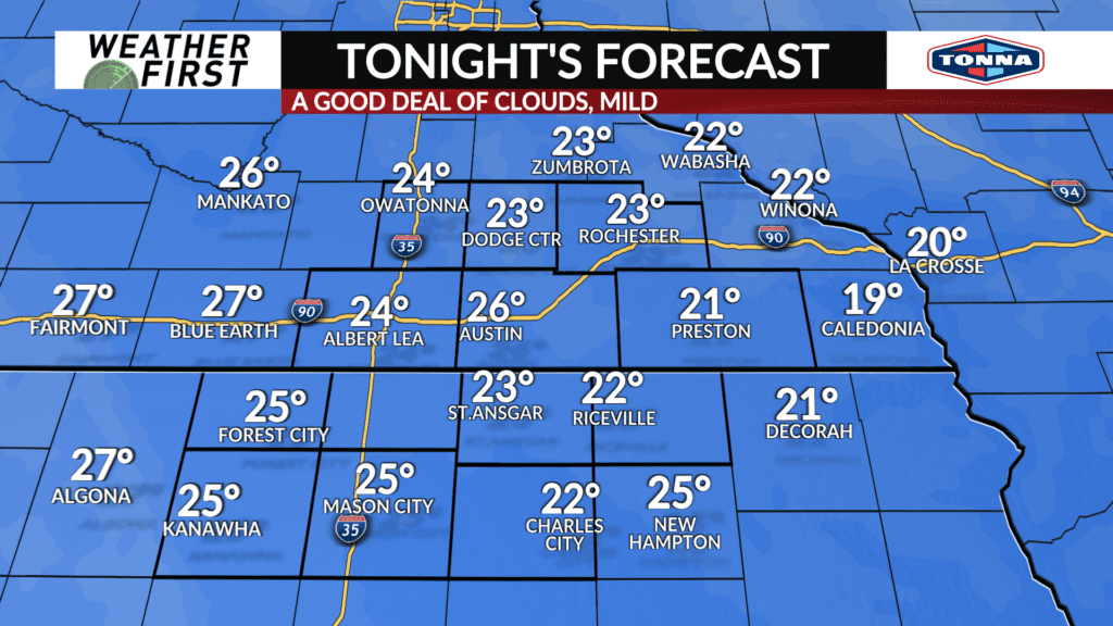
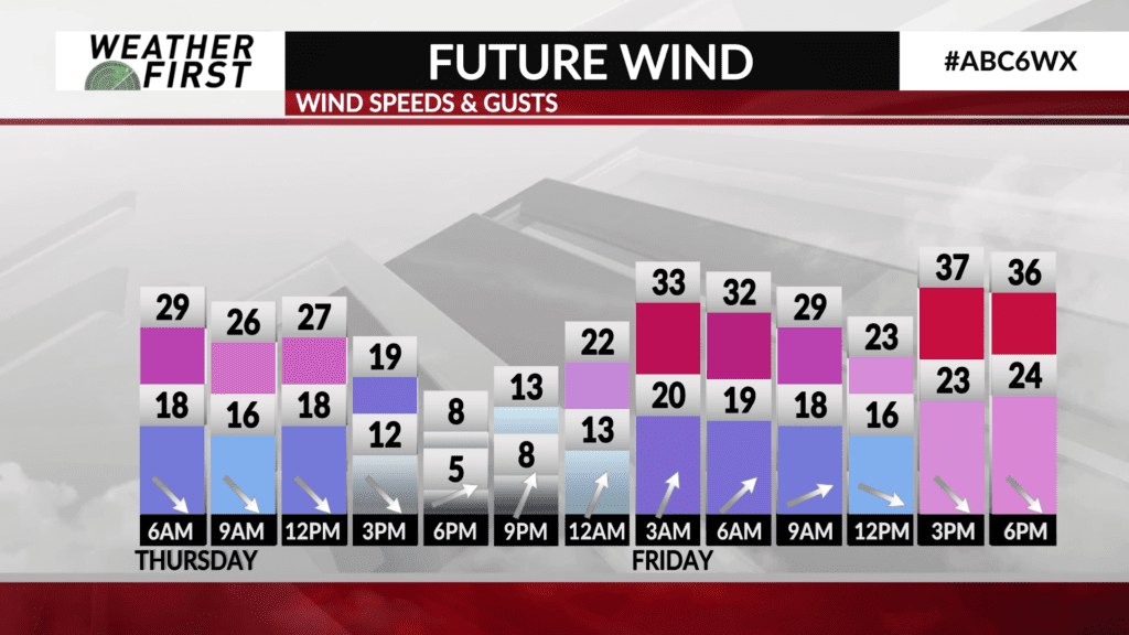
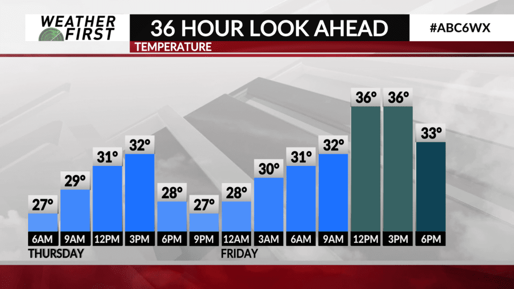
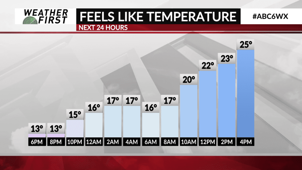
Clouds hang around through tonight, which will keep temperatures mild for this time of year. In fact, temperatures will warm throughout the night, despite west winds remaining gusty, up to 25 mph. We’ll see temperatures bottom out in the low 20F’s this evening, before increasing into the mid to upper 20F’s by Thursday morning.
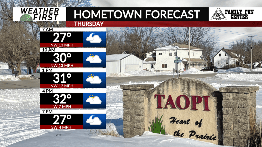
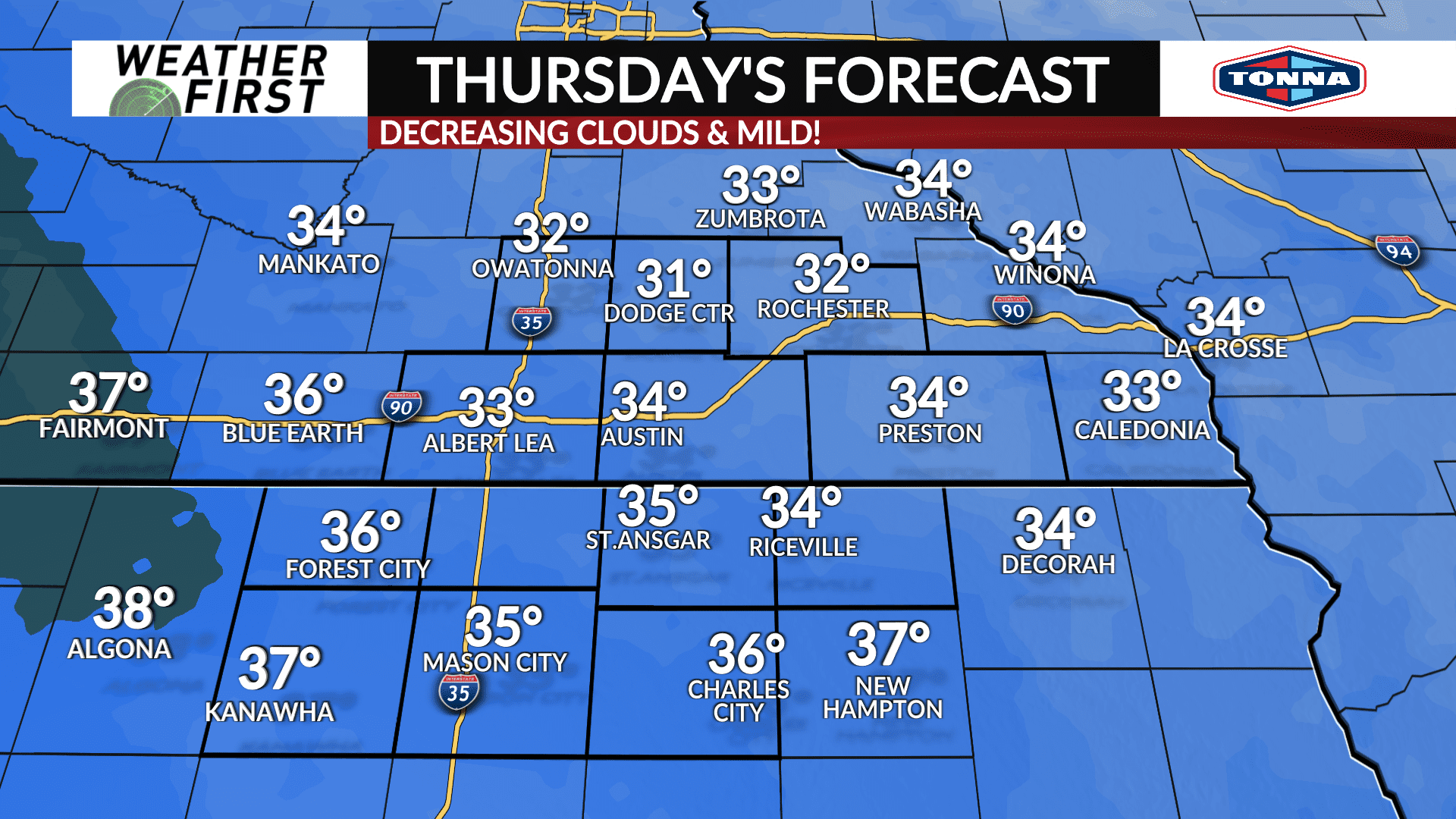
Thursday will be a mild day by January standards! High temperatures will be in the low to mid 30F’s across all of southeastern Minnesota and northern Iowa. Winds will remain breezy out of the northwest, gusting up to 30 mph at times. This will make it feel quite a bit colder than it actually is at times.
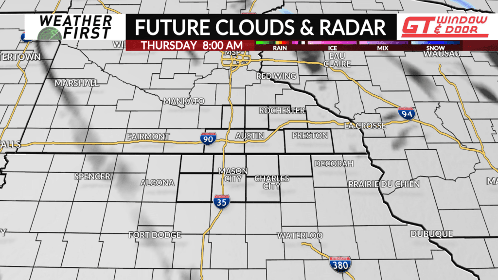
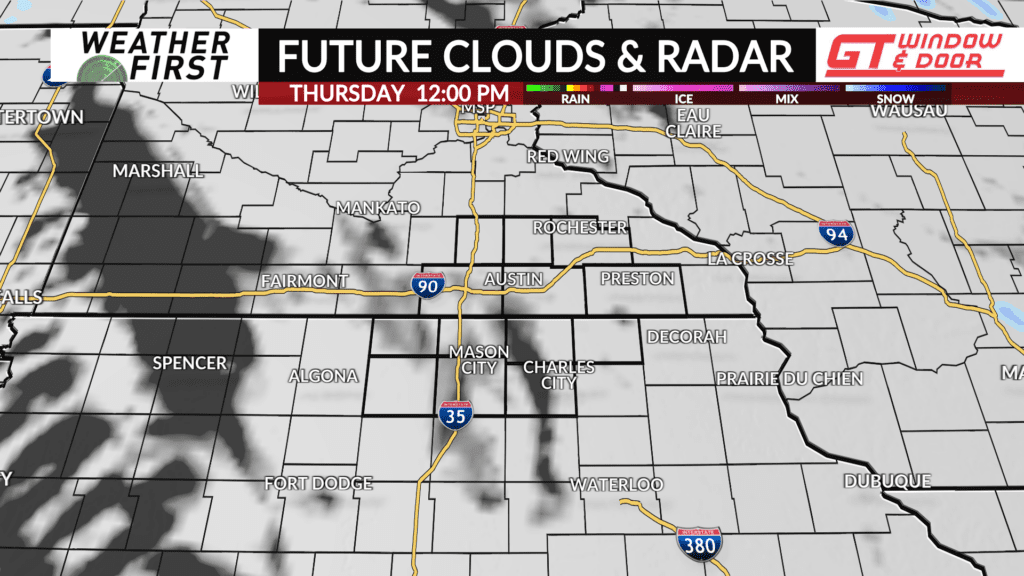
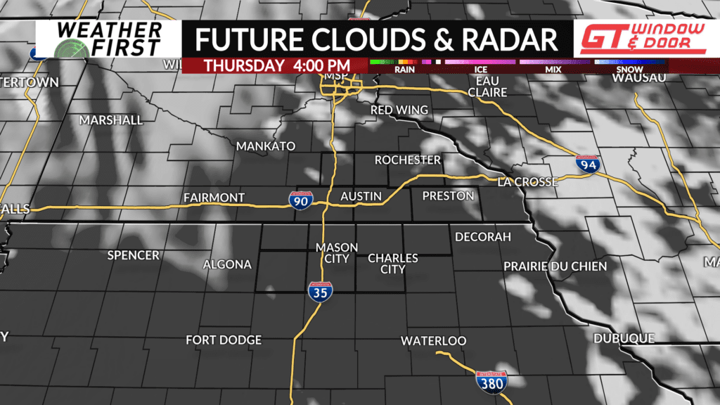
However, clouds decrease throughout the day, allowing for some sunshine across the area later in the afternoon. Clouds will once again increase through the evening Thursday, as a cold front approaches from the northwest.
With high temperatures in the low to mid 30F’s, this places Thursday’s daytime highs 10F above the long term average for this time of year! Temperatures to certainly take advantage of!
