Fall-like cooldown to start the weekend, warmer by its end

A brief cooldown will lead to fall-like temperatures as the weekend starts, but warmer air moves right back in as it ends with above average temperatures likely into next week.
Temperatures will be more typical of late September as highs are expected to be in the middle-to-upper 60s on Friday. The colder air combined with daytime instability may lead to a few isolated showers, but most will stay dry.
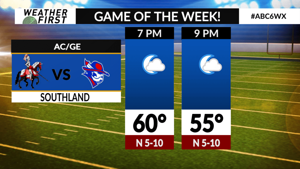
A few isolated showers may linger into Friday evening, but most, if not all high school football games should go on accordingly. Make sure to bring a light jacket as temperatures cool off into the 50s through the evening hours.
The coldest of the air will be overhead Friday night into Saturday morning as temperatures drop into the lower 40s. A few lower-lying valley areas may see upper 30s! BRRR!
Despite sunshine on Saturday, it’ll be a cool day with high temperatures in the middle 60s.
The fall-like air moves out for Sunday and is replaced by much warmer air as winds switch to the southwest. High temperatures will get back into the lower 70s which is still a few degrees below average.
Temperatures will surge above average heading into next week as summertime weather returns.