Major winter storm to stay south of area this weekend

A potent winter storm is expected to develop across the central part of the country and track east across the Missouri and Ohio River valley’s this weekend leaving the Weather First area high and dry.
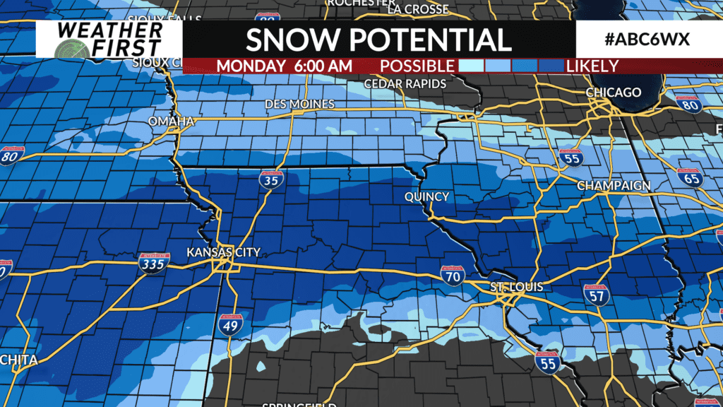
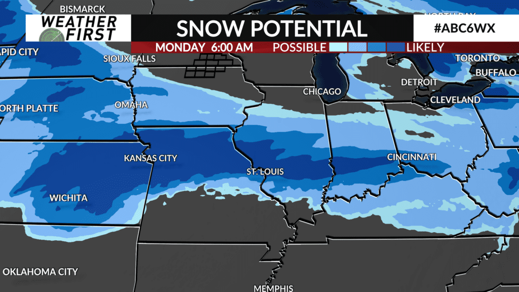
Data continues to pour in and narrow down on the track of the system with it becoming clearer that the storm will have no impact on southeast Minnesota and north Iowa.
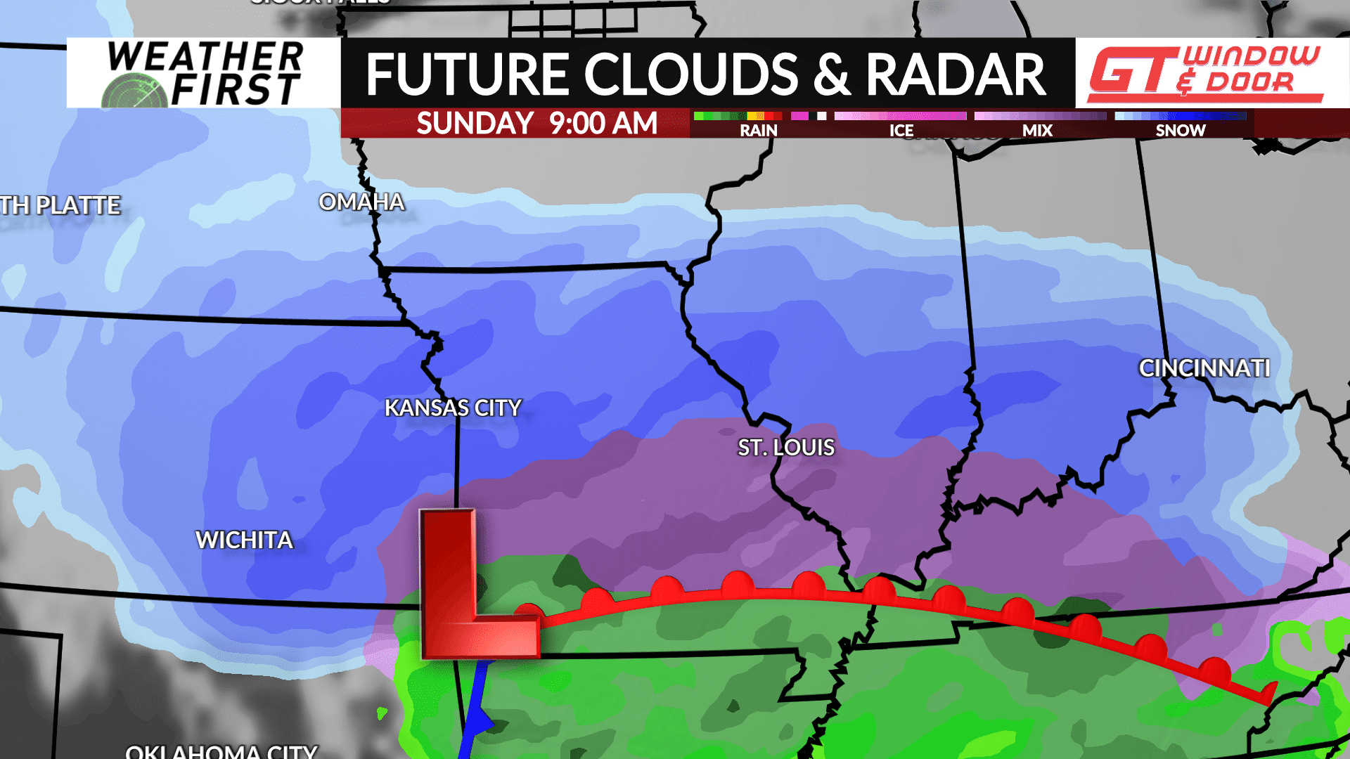
A surface low pressure is expected to develop in the central plains on Saturday with some snow accumulations possible across portions of central and southern Iowa. However, as the storm strengthens, the wintry precipitation will shift further south with heavy snow and several inches likely across portions of east-central Kansas, north-central Missouri, into central Illinois and the Ohio River valley.
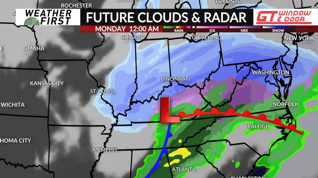
A wintry mix of freezing rain/sleet and snow is possible across central Missouri into southern Illinois and further east with showers and some possibly stronger thunderstorms across the southeast.
The system will move into the Mid-Atlantic portion of the country heading into next week.


