Mild temps, rain chances to end the week
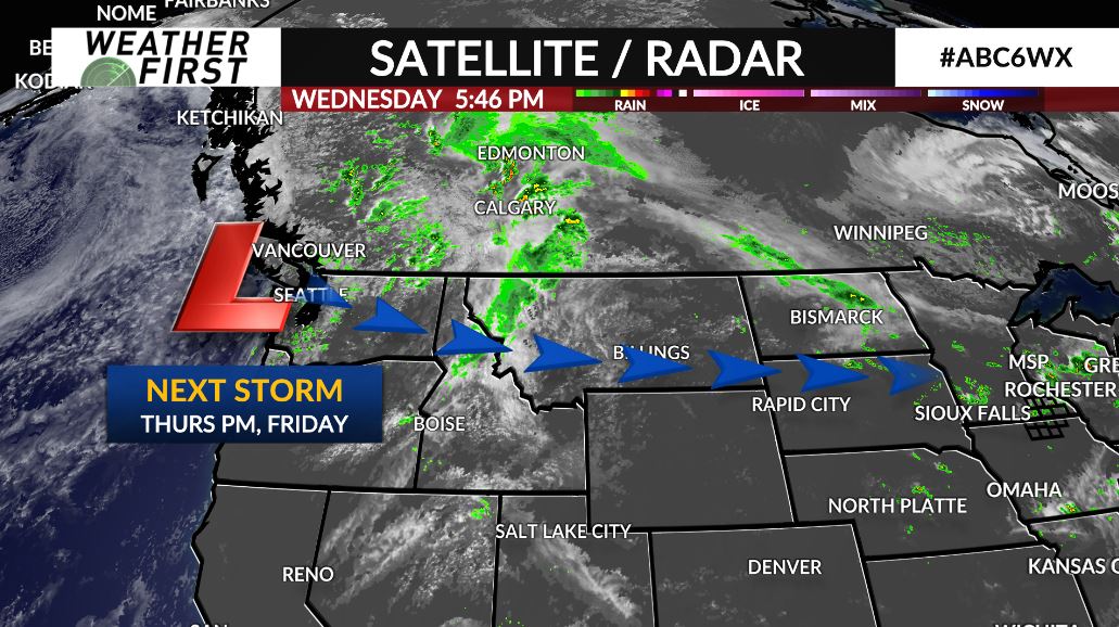
A slow moving cold front will continue to drift southeast across the local area Wednesday night. The front combined with just enough energy built up from afternoon sunshine will be enough to generate some showers and thunderstorms. Not much is expected, however any stronger storm may produce small hail and gusty winds. Any thunderstorms will diminish around sunset as we lose the heating of the day setting up a quiet rest of the night with upper 50s expected by Thursday morning.
Thursday will be a quiet day under a mix of sun and clouds. Temperatures will be mild for August with daytime high’s near or in the low 80s. The next weather maker arrives late evening and overnight into Friday as wave of energy sweeps through kicking of more widespread chances for showers and thunderstorms.
Friday will start with some rain in the area during the early morning hours. Another round of showers and thunderstorms is possible Friday afternoon and evening as another wave of energy pushes through. The strength of any storms will be dependent on how much the atmosphere can recover from morning thunderstorms. The severe risk for now is to the south and east of the local area. Friday will be noticeably more humid. High temperatures will be in the low to mid 80s.
The start of the weekend is looking quiet. Sunny and low 80s for Saturday. Rain chances enter the picture again on Sunday with high’s near 80s.