More clouds from Francine tomorrow, still summerlike
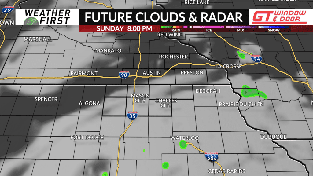
Francine’s remnants will be back at again tomorrow for us here in southeastern Minnesota and northern Iowa. We stay dry this time around, however. The same high pressure that brought us plenty of sunshine today and summerlike warmth will begin tapping into the remnants of what was once Hurricane Francine tonight and tomorrow, brining tropical moisture northward.
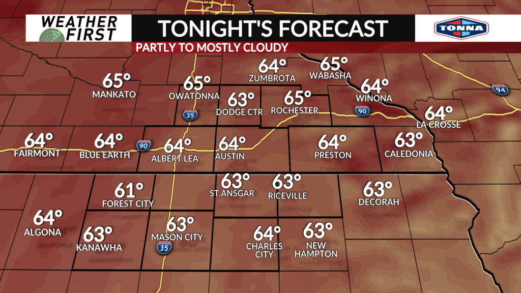
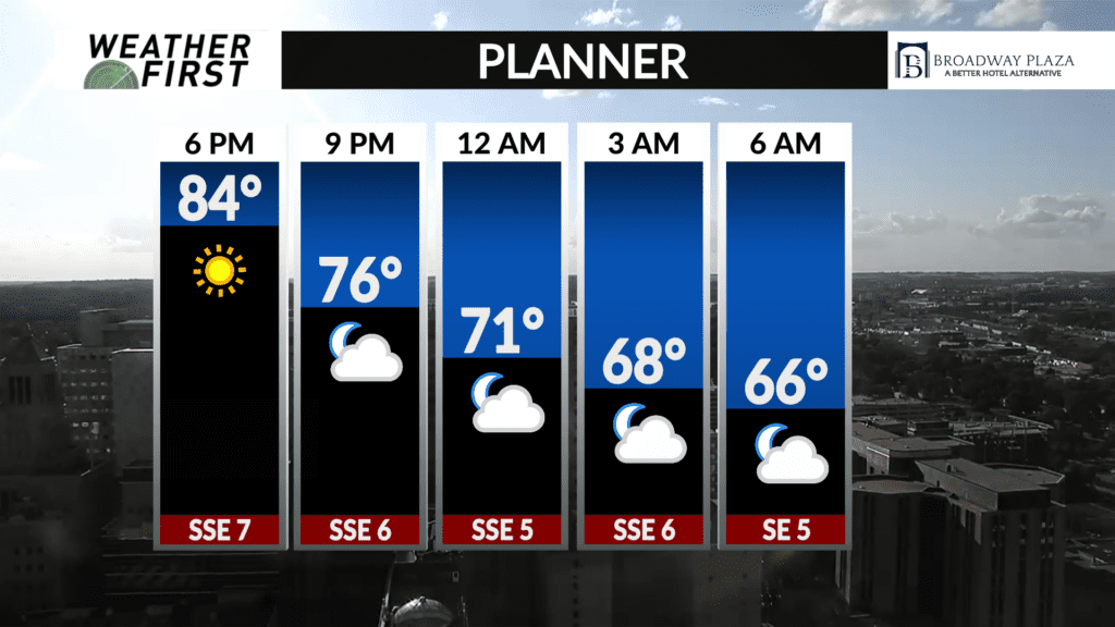
We have a beautiful evening ahead of us across the Weather First area, with sunshine, and temperatures cooling into the 70F’s. Clouds will be on the increase heading into the overnight hours thanks to increasing upper level moisture from Francine. This increased cloud cover will aid in keeping our temperatures from dropping any lower than the mid 60F’s for most of the area.
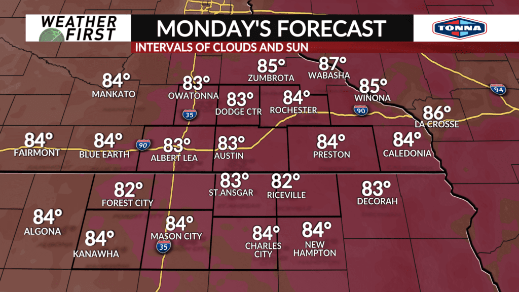
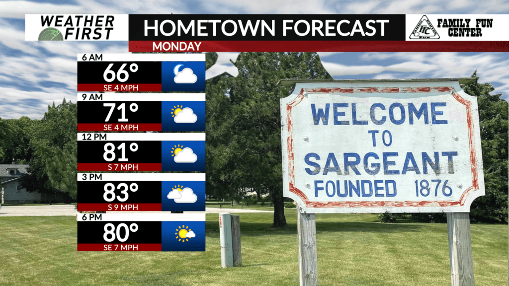
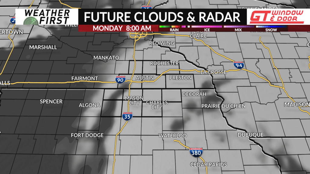
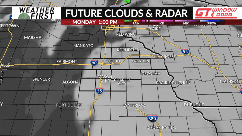
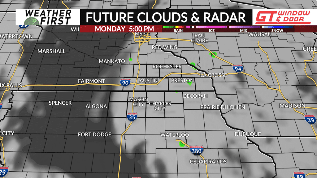
Clouds will stick around through a majority of Monday. Doesn’t look like complete overcast at this time, but there certainly may be more cloud cover than what we saw today across the area. Nonetheless, temperatures will feel summerlike once again tomorrow! Most areas will see highs in the low 80F’s, but if you manage to see more sunshine, mid 80F’s are certainly possible.
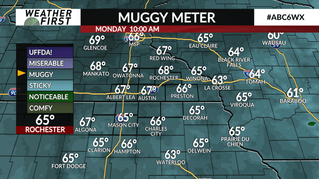
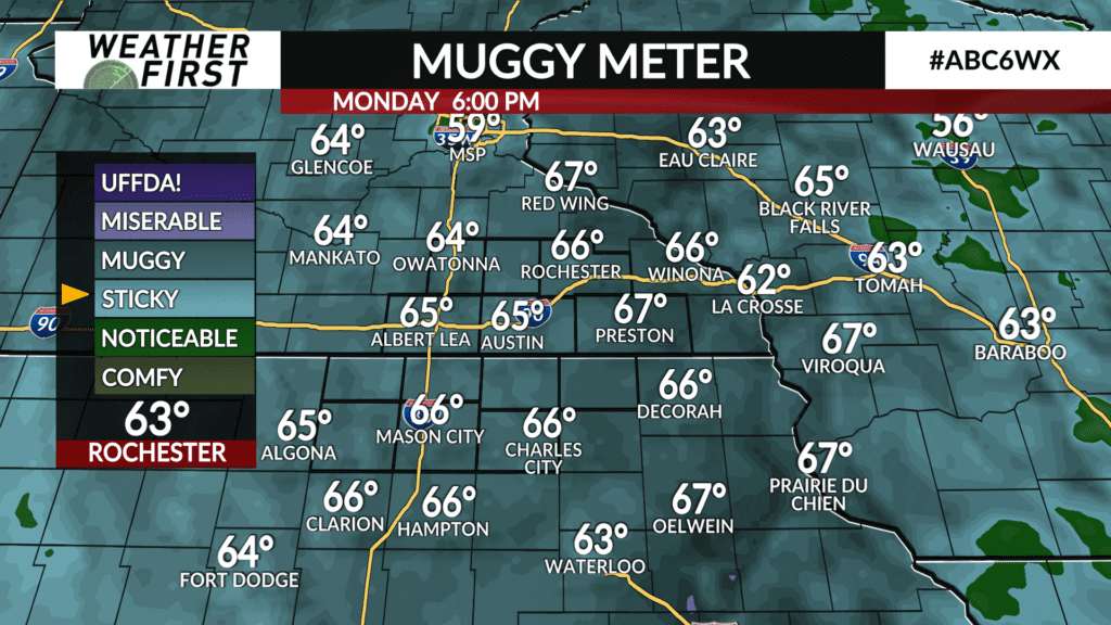
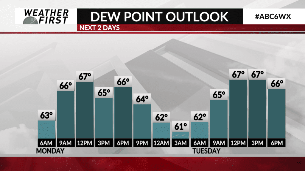
Dew points will once again be in the mid to upper 60F’s across southeastern Minnesota and northern Iowa, making it feel quite humid out there. All of these things courtesy of the remnants of Hurricane Francine, which doesn’t seem in any hurry to go anywhere the next few days.
Fortunately, Francine’s remnant moisture flow will progress to our east by Tuesday, resulting in more sunshine and temperatures once again in the low to mid 80F’s. If you are hoping to not have to use your AC unit to alleviate that electrical bill…you’ll have to wait a little bit longer. Tomorrow looks like our last bout of Francine’s influence thanks to a gradual change in the broad scale weather pattern, which, looks to bring some big changes to our weather this upcoming weekend.