More sunshine for Sunday, and warmer!

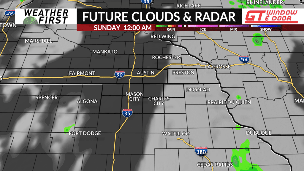
Skies have remained mostly cloudy across the Weather First area today, with some folks also receiving a little bit of rain throughout the day. These showers are beginning to diminish and push east, along with the cloud cover.
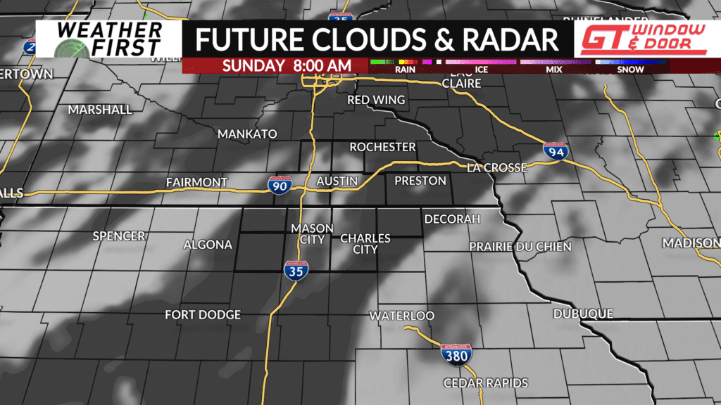
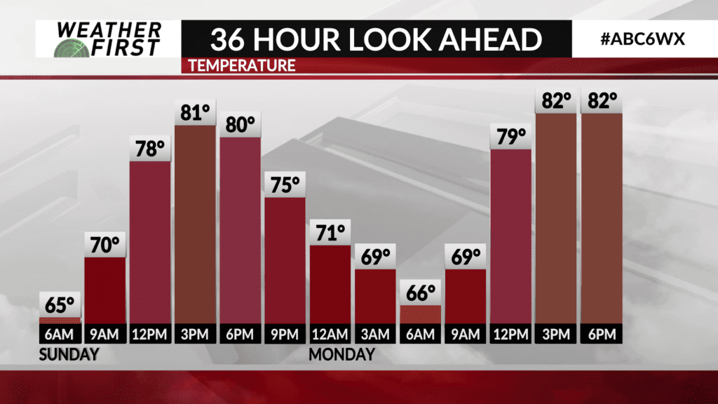
Cloud cover will continue to decrease the remainder of this evening and into the overnight hours, giving way to a mostly clear to partly cloudy sky by dawn. Low temperatures are forecast to only drop into the low to mid 60F’s thanks to more cloud cover early on. This falls almost 10F above the long term average low temperature for this time of year!
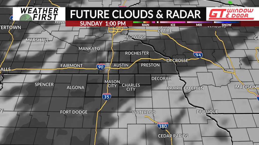
Sunday will feature mostly sunny to partly cloudy skies across southeastern Minnesota and northern Iowa. High temperatures will climb into the low to mid 80F’s for most of the area, which is again nearly 10F above the long term average high for this time of year.
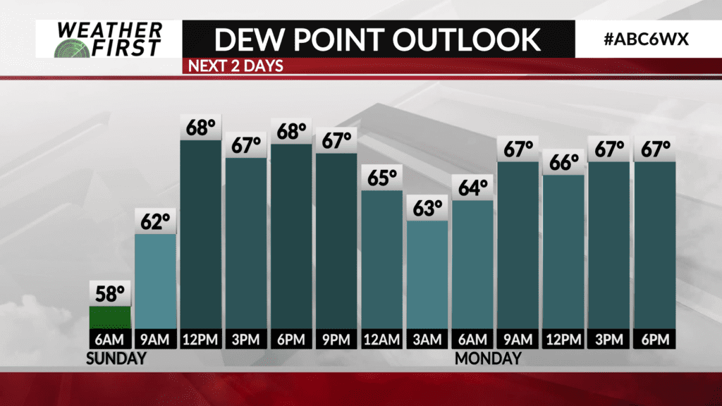
Dew points will be in the mid to upper 60F’s for most of the day tomorrow. This will certainly make it feel quite humid. There will be an outside chance for a stray shower or thunderstorm tomorrow, especially across far southeastern Minnesota and northeastern Iowa. The rain chances are very low though, and not something to cancel any outdoor plans over.
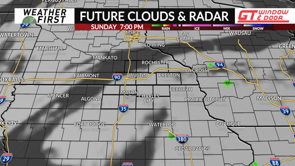
Any clouds across the skies tomorrow will decrease in coverage by the evening hours, giving away to a mostly clear sky, and temperatures cooling into the low to mid 70F’s by evening. Overall, Sunday will be a summerlike day across the area for sure! Certainly not a bad day to get out and enjoy some time on the lake!