Plenty of dry time the rest of this week, with occasional storm chances but no washouts

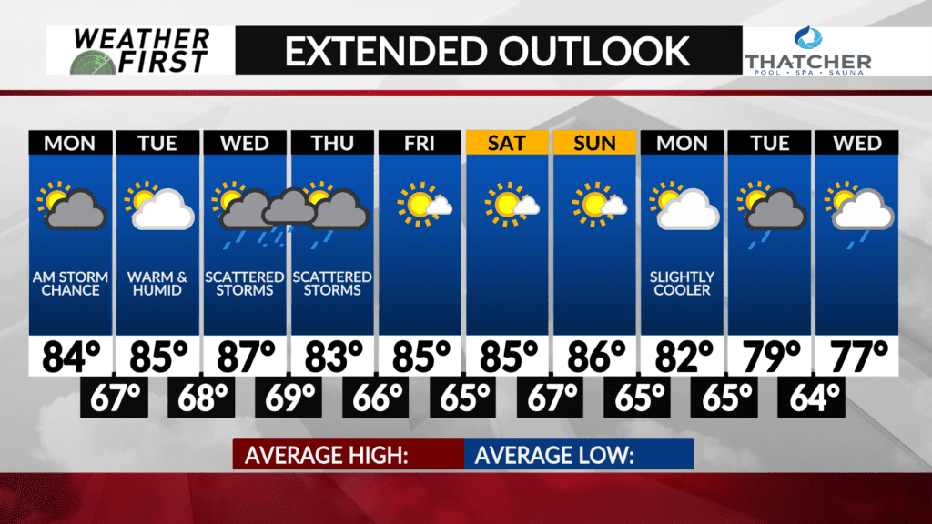
Looking past the storm chances to start the work week, there will be plenty of dry time through next weekend. There will be storm chances during the middle of the week, however.
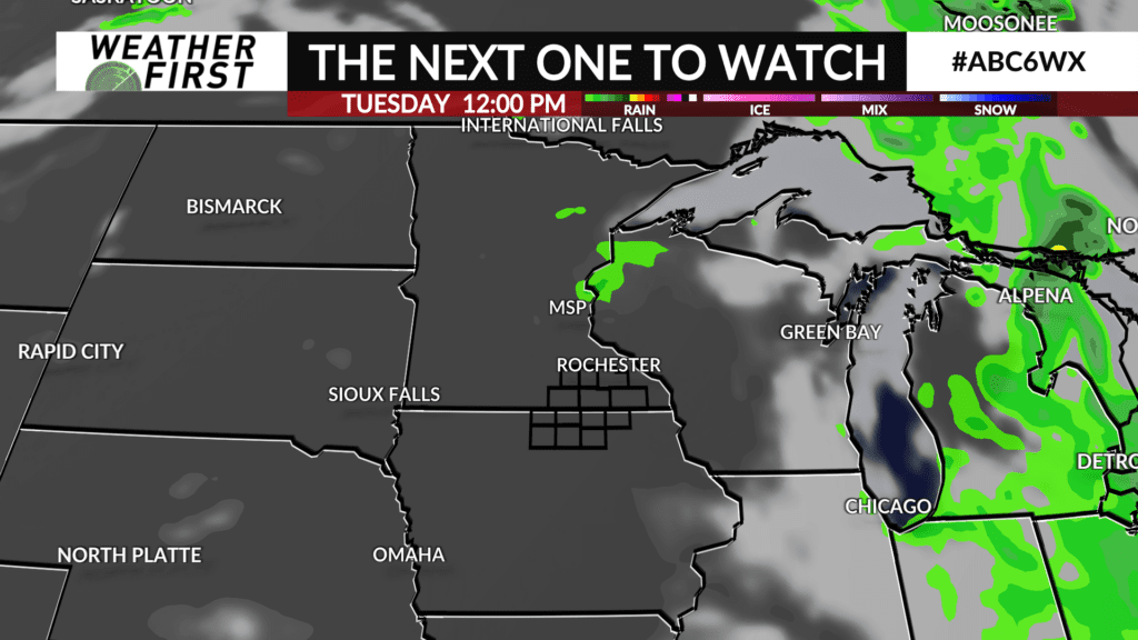
Tuesday will be warm and humid, with highs in the mid 80F’s under partly cloudy skies. There is a very slight chance of a storm or two tracking through the area, but the chance is so low it isn’t something to cancel plans over.
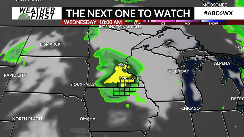
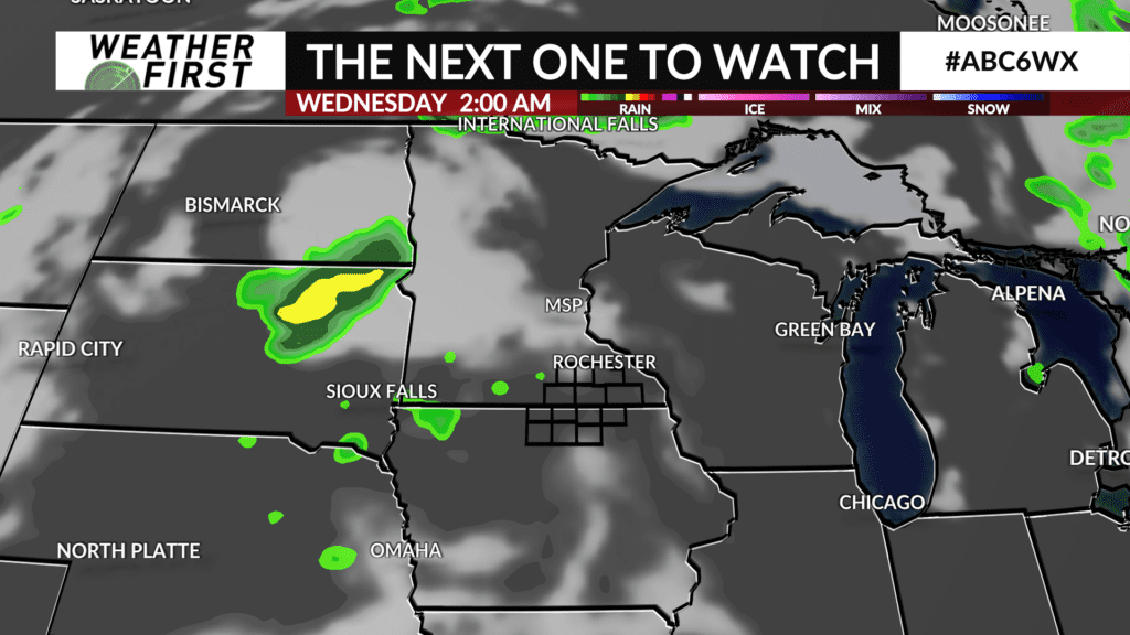
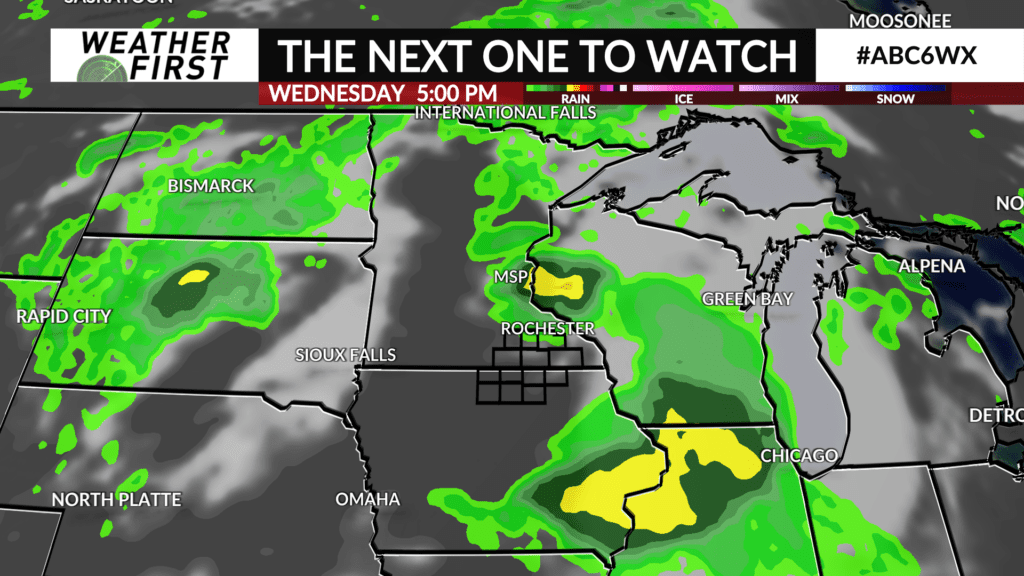
Storm chances return Tuesday night and will continue through the day on Thursday. The upper level atmospheric pattern seems to be more favorable for widespread storms across our area Wednesday into Wednesday night. As a result, this is the time period that we have the best chance for seeing storms in our area.
It is way too soon to go into any specifics when it comes to storm track and timing. Severe weather will certainly be a possibility with the heat and humidity if storms take place during the daytime or evening. Will need to keep a close eye on Wednesday as a whole considering it will likely be the hottest day of the week and may be the best chance at widespread, potentially severe, storms.
Storm chances are lower on Thursday but are still worth keeping an eye on, as it will be another warm and humid day. Again, too soon to work out any specifics.
Heading into next weekend, things are looking dry with plenty of sunshine and high temperatures in the mid 80F’s. The dew points may also still be quite high, so another summer like weekend potentially lies ahead.