Quiet with a gradual rise in temperatures next week

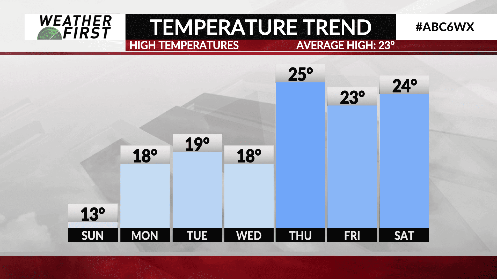
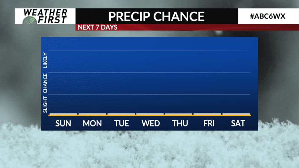
All is quiet around our area, and that will remain the case through most, if not all, of this next week. Temperatures won’t fluctuate too much either, with a gradual increase in daily high temperatures by weeks end.
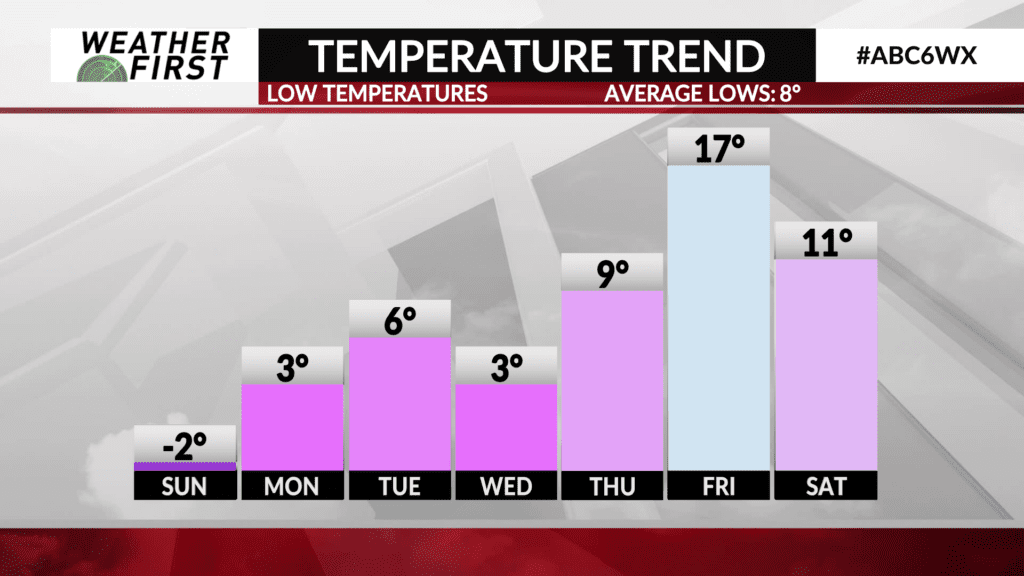
High pressure over southern Canada will be keeping us dry and cold for the next few days, with any storms missing us well to the south. Winds will remain out of the north, resulting in wind chills near to below 0F at times and highs remaining in the teens through early next week. Overnight lows will remain in the single digits through Thursday morning across southeastern Minnesota and northern Iowa as well.
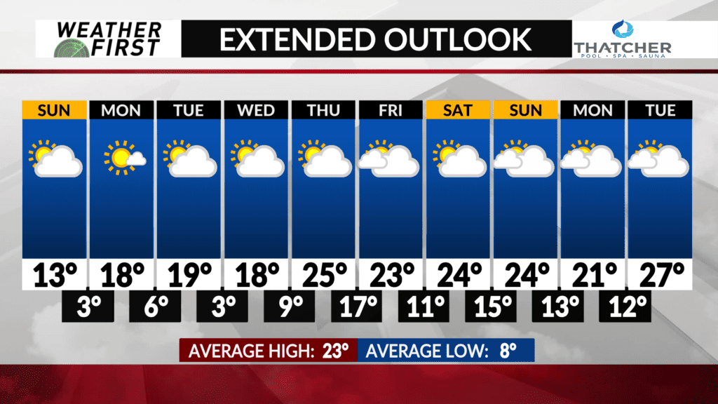
By the middle/end of the week, winds shift to out of a more southerly direction, resulting in slightly warmer temperatures, and more cloud cover Thursday through early the following week.
High temperatures on Thursday will be in the mid 20F’s across the area, with overnight lows remaining in the teens. Warm! Another short lived cold snap hits Friday night, but will only cause our overnight low temperatures to dip into the single digits again at most.
High temperatures in the mid 20F’s hang around next weekend and into the following week, with a bit more cloud cover possible as well. With average high temperatures being in the low to mid 20F’s this time of year, these temperatures are right where they should be!
Overnight lows remain in the teens past late next week, which falls above the long term average for daily lows. Overall, not a bad forecast for the beginning of January once we are able to get past this cold burst!


