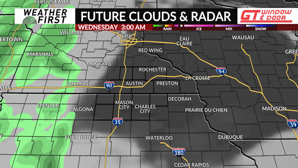
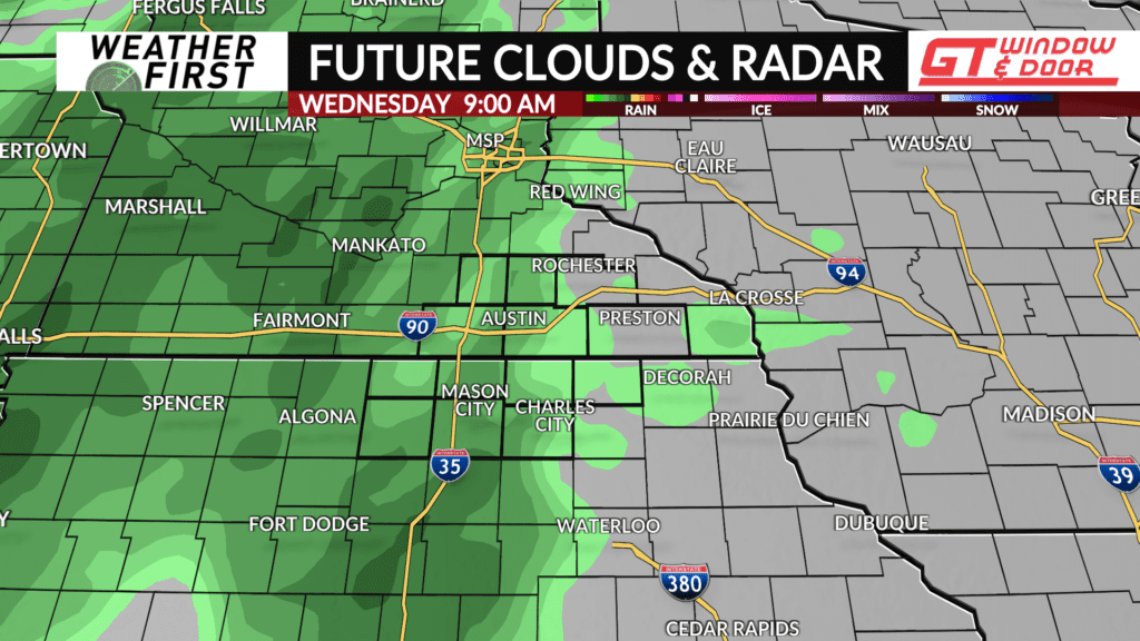
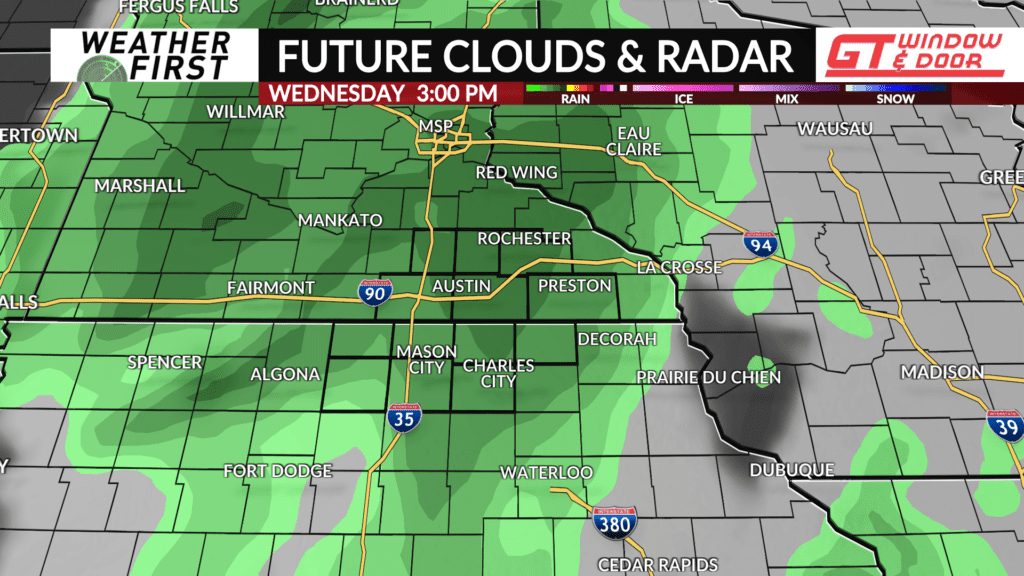
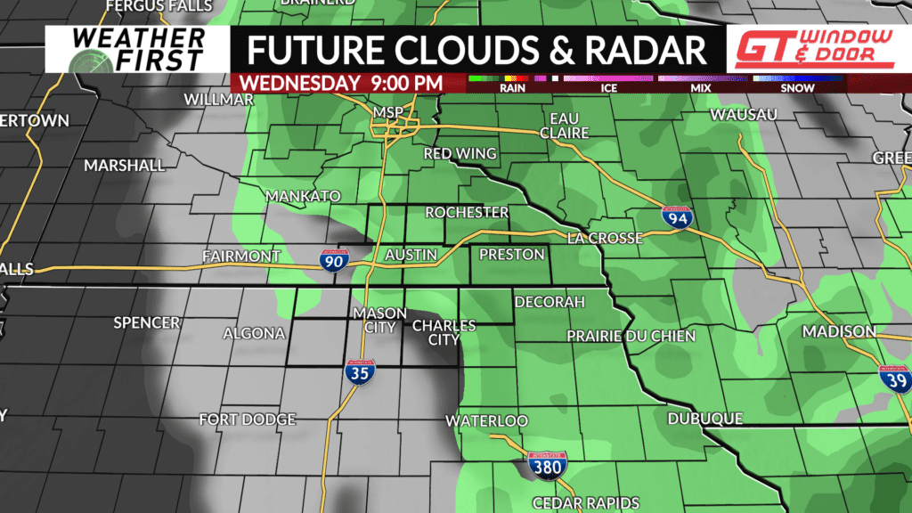
Rain chances increasing for Wednesday
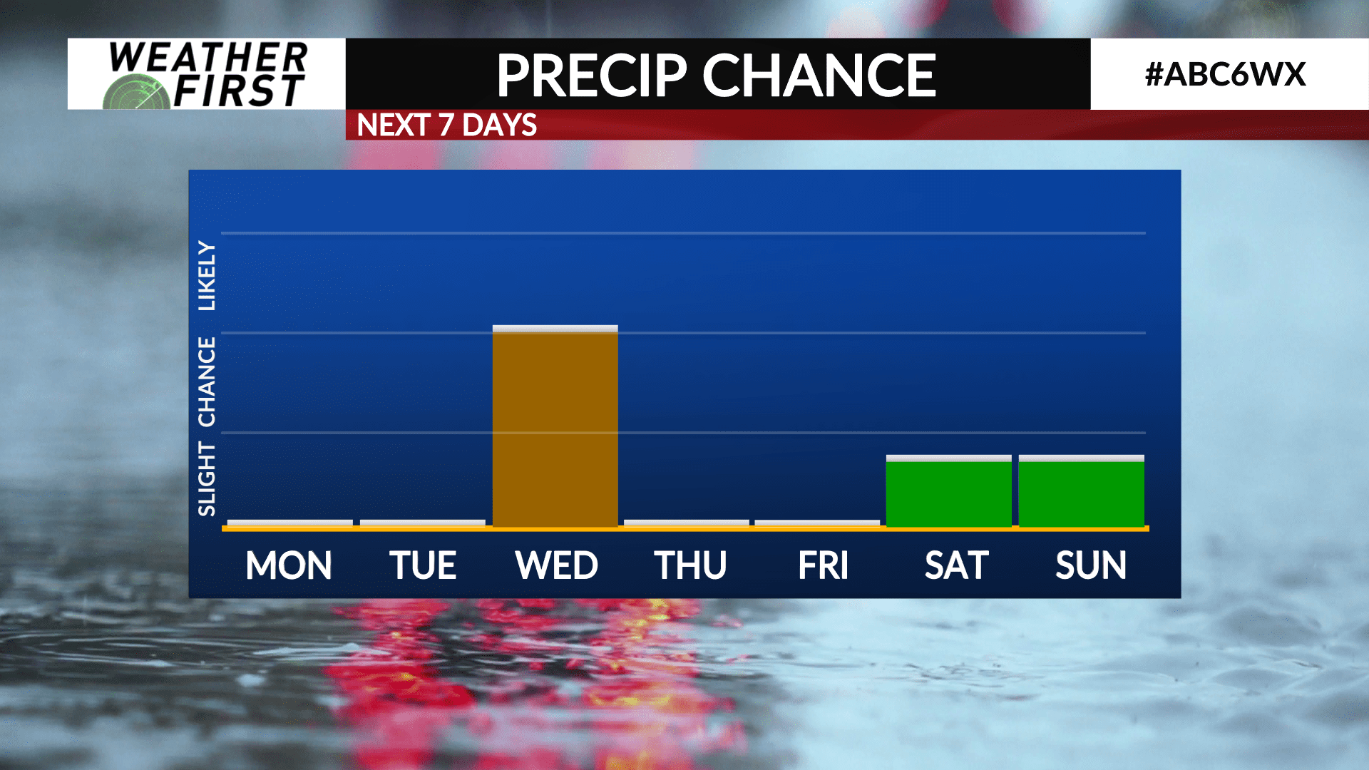
There is a growing chance for another round of widespread rain on Wednesday, with overall rainfall accumulations remaining on the lower side, however.
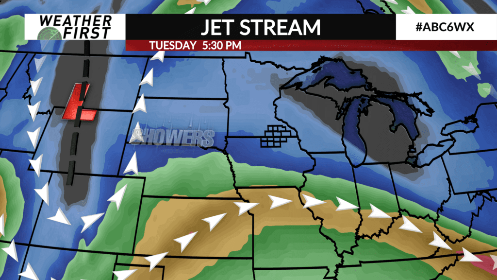
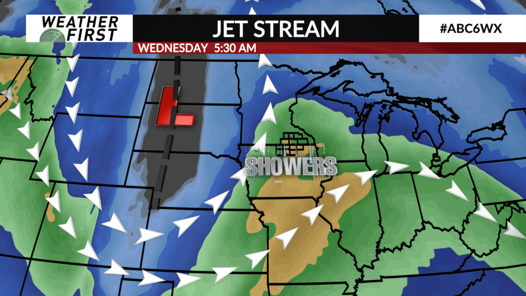
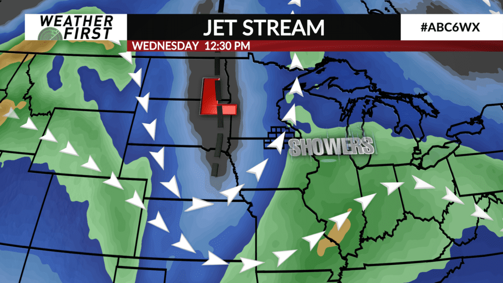
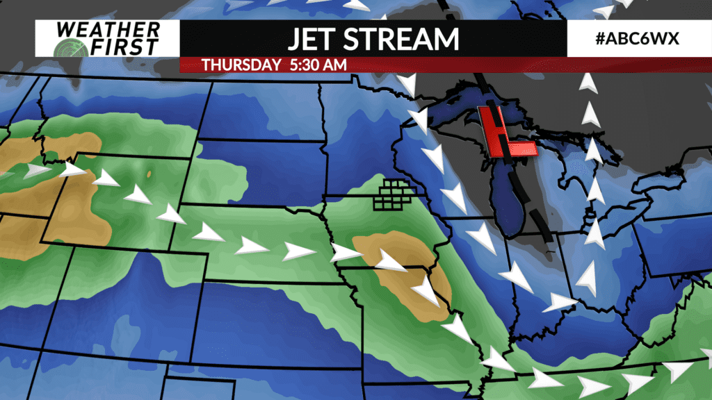
A large frontal system will be making it’s way onto the United States West Coast Monday and quickly sweeping across the Rocky Mountains Tuesday, and into the Great Plains early Wednesday. By Wednesday morning/afternoon, the cold front will be tracking across Minnesota and Iowa, bringing an increasing rain chance with it.
Up until now, model guidance has been fairly consistent with our area not seeing much rain, if any, during the day on Wednesday. This has primarily been due to the expectation that the front will not have the best forcing, and moisture, to work with until after it passes through the Weather First area.
As Sunday has progressed, model guidance is becoming more bullish with the extent and duration of the rain chance Wednesday, with much better forcing and moisture being in our area than previously forecasted.
Waiting to see if this trend continues through Monday, but for now, another chance for widespread rain seems to be in the books for Wednesday. Timing remains rather uncertain at this point, with model guidance showing a range of solutions with when the best forcing will be over our area. We’ll have a better idea on timing by this time tomorrow, and especially Tuesday.
Despite the chance for more widespread rain, rainfall totals do not look too promising at all. The Weather Prediction Center only has our area seeing 0.10″ at the most, with most model guidance following suite. Not a widely beneficial rain, but we will take what we can get with a moderate drought still hanging around the region!
