Rain chances return on Wednesday
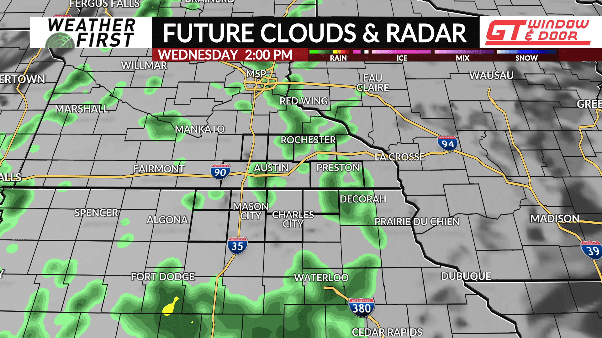
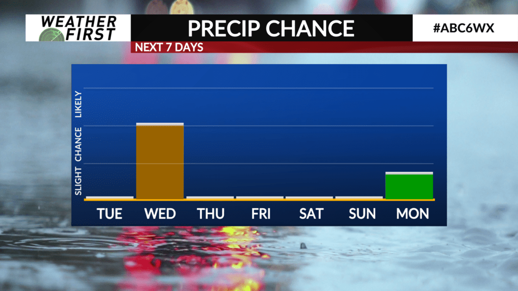
After a few days of sun, we will be looking at the return of rain chances heading into Wednesday.
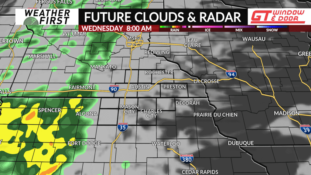
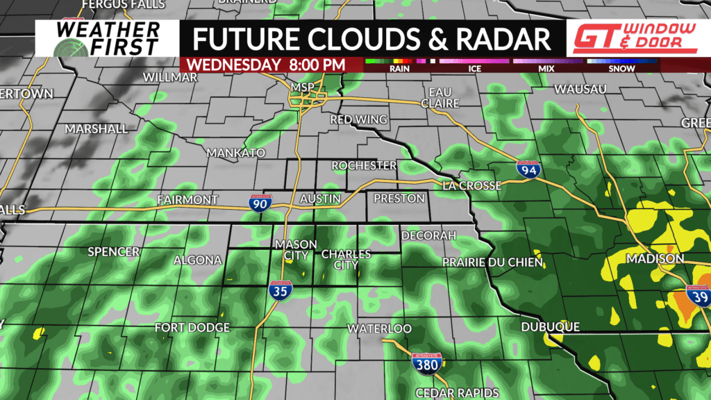
A trough of low pressure will be advancing across the Great Plains Wednesday, with widespread rain developing across North and South Dakota Tuesday night. By later Wednesday morning, showers should begin to enter the Weather First area, first reaching our Iowa counties, then spreading into southeastern Minnesota by the afternoon.
The big question with this rain event is how much rain will each location see. Some model guidance is currently illustrating the possibility that the heaviest and more widespread rain will remain south of I-90 and west of I-35. Other model guidance depicts widespread rain amounts across the entire Weather First area of 0.10″-0.40″.
Regardless of rain totals, widespread rain is a good bet on Wednesday, and having an umbrella handy will be a good idea heading out the door.
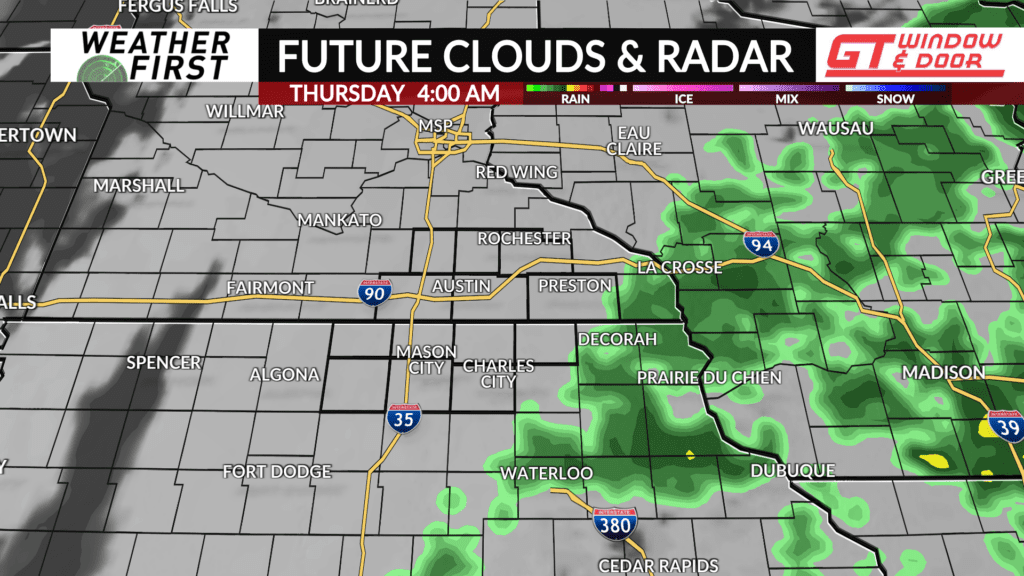
Temperatures won’t be able to climb much higher than the low to mid 40F’s across the area thanks to the rain and cloud cover. It will also be another breezy day, with winds gusting up to 25 mph at times. Thankfully, temperatures will certainly remain warm enough to prevent any rain from turning to snow Wednesday night, with most of the rain pushing east of our area by midnight.
With all of our area in a moderate drought, any rain is welcome, even if it doesn’t amount to all that much!
