Rain/snow possible across north Iowa Monday
Yet another area of low pressure will be passing through the central United States as we head into Monday. This system will bring at least a slight chance of precipitation for most of our area south of I-90, but no major impacts are expected.
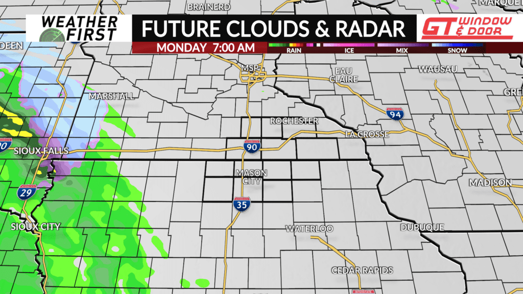
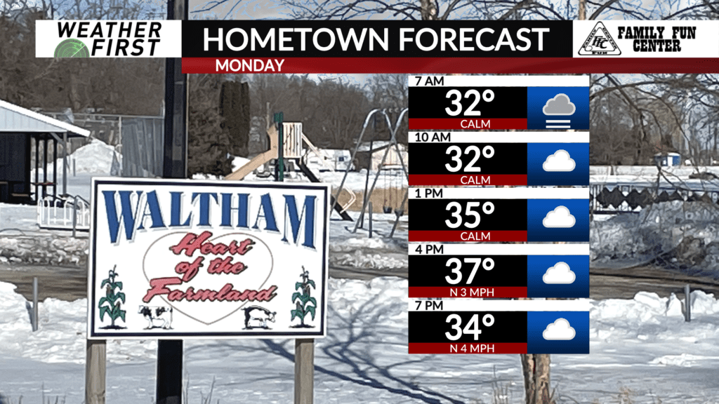
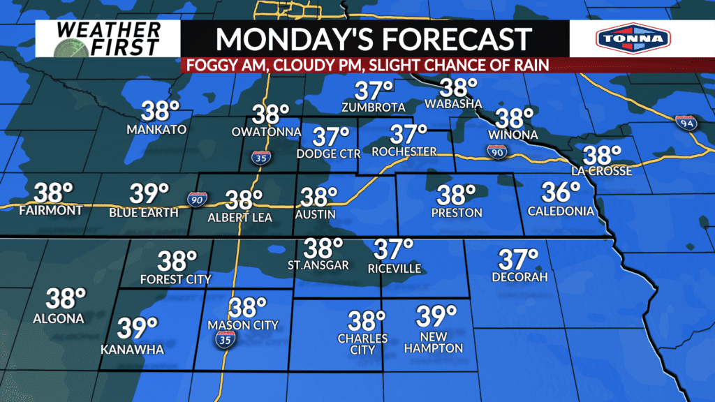
Monday morning will start out dry for everyone, with plenty of fog and cloud cover hanging around. Temperatures will be near freezing during the morning commute, leading to the risk of freezing fog and slick spots on the roads.
Highs climb into the mid to upper 30F’s across most of our area, ending the freezing fog threat mid morning Monday.
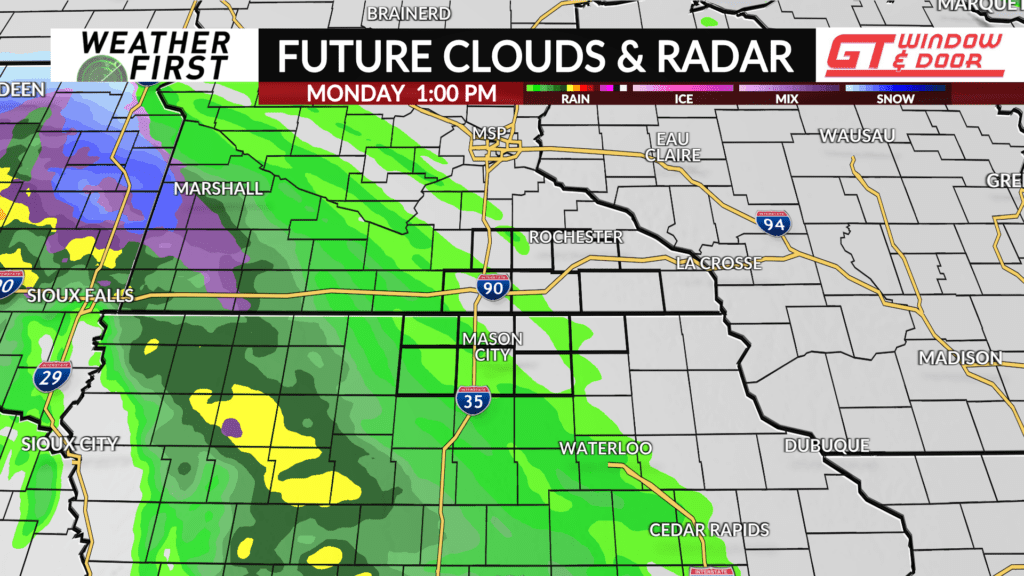
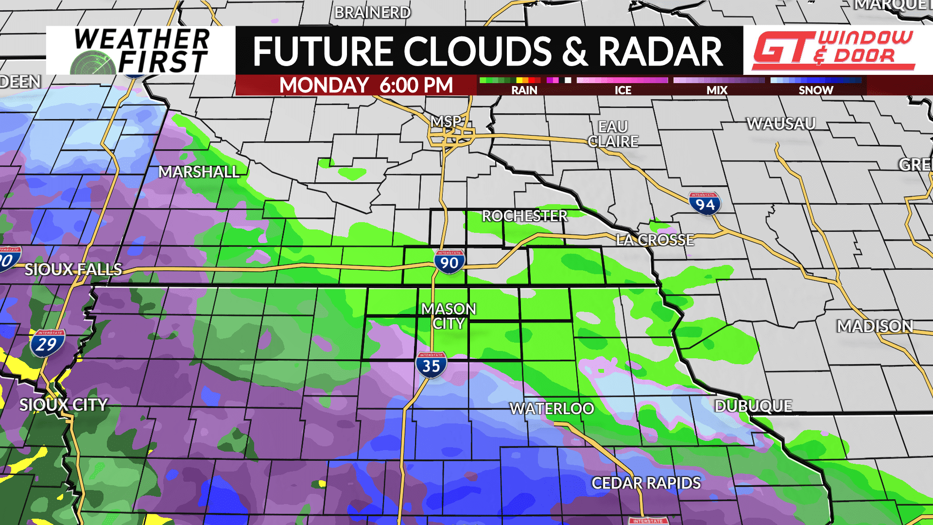
As we progress into the afternoon and evening hours, an area of low pressure will pass our area by just to the south. While the brunt of the precipitation will remain south of our area, there certainly are precipitation chances later Monday afternoon through Monday night, especially across northern Iowa.
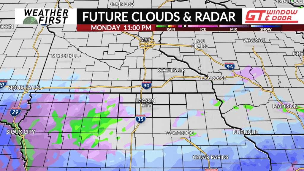
Given that temperatures will be above freezing Monday afternoon and early evening precipitation will remain in the form of rain. However, as temperatures cool during the evening and into the overnight hours, rain will likely change over to snow, but there are still some questions to how quickly this process occurs.
There are still questions on just how far north the precipitation shield reaches as well. Most models show northern Iowa seeing some form of light precipitation by Monday evening, but there is still differences on if southern Minnesota sees much, if any, precipitation.
Regardless, no major precipitation (rain/snow) accumulations are expected. Cannot rule out a few slick spots on the roads though, especially across northern Iowa. With that said, it’s always best to drive a little more cautiously whenever precipitation is falling, just in case.
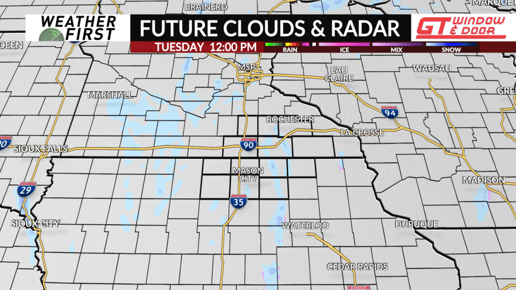
By Tuesday morning, the precipitation will be to our east, with only a few flurries leftover as we head into the day Tuesday.
