Record warmth likely Friday
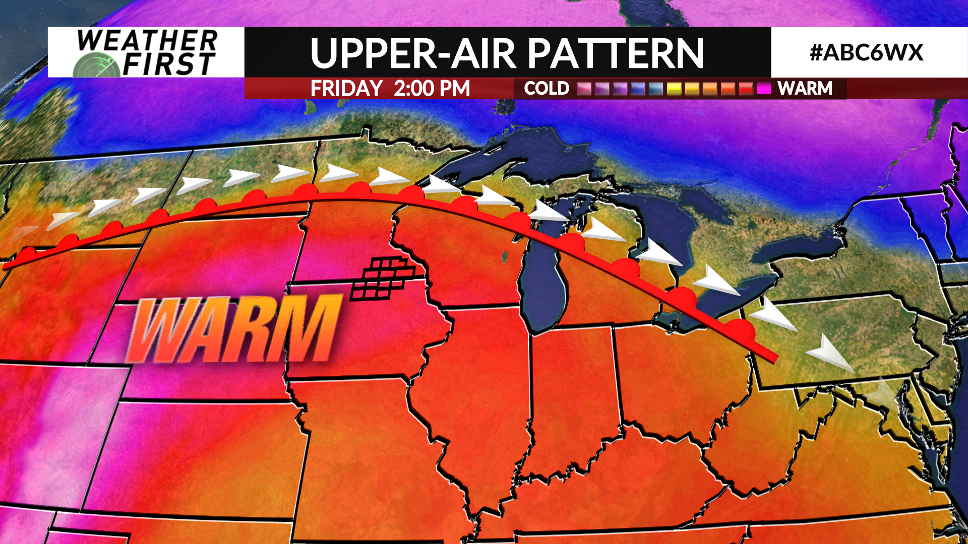
Temperatures are expected to push into record high territory on Friday as a summer-like airmass will be briefly overhead before cooling back to near or below average for the weekend.
After an early round of showers and thunderstorms, the rest of the day will be quiet under a mostly sunny sky with some clouds building during the afternoon and evening.
Warm air will surge into the area with the help of a breezy southerly wind which will gust up to 30-35 mph at times during the afternoon.
Temperatures will climb into the upper 70s to lower 80s which will likely set daily record highs for several communities in the Weather First area. These numbers are more typical for the middle of June.
A storm system that will impact the area this weekend will start to approach late Friday evening into the overnight leading to the chance of a few scattered showers and thunderstorms. While severe weather is not expected, a strong thunderstorm with hail is possible. The Storm Prediction Center has a low-end Level 1 (of 5) risk in place for portions of the area where a strong thunderstorm is possible.
Temperatures will drop into the lower 40s by Saturday morning.


