Seasonably warm temperatures through next week
The near-record breaking warmth is far behind us as we continue to dive into early November. That doesn’t mean that temperatures aren’t still expected to be on the warmer side relative to average, however.
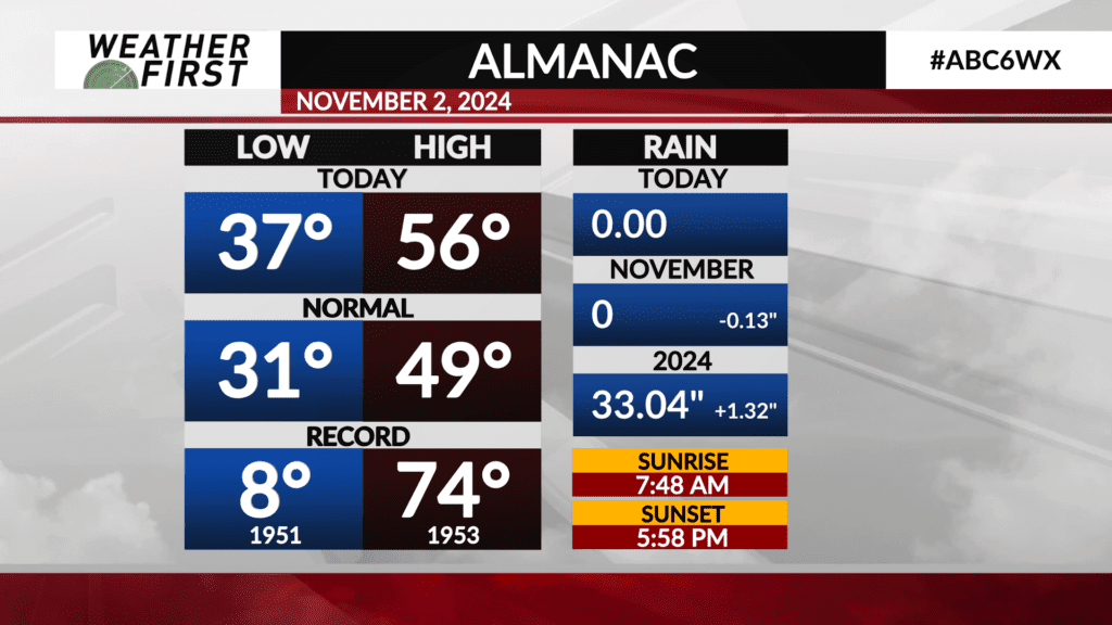
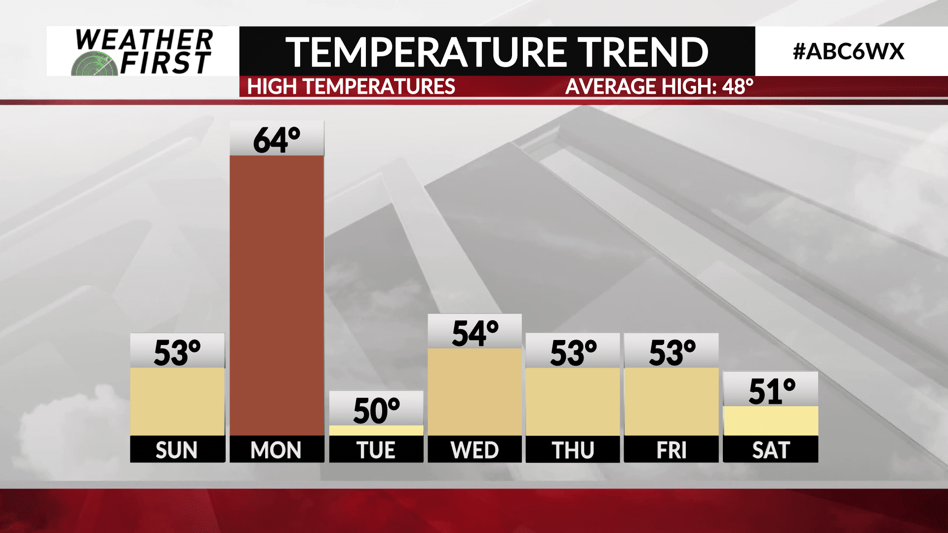
Temperatures Sunday are going to struggle to reach into the low to mid 50F’s, given the cloud cover and rain that is in the forecast. A warm front will pass through the area Sunday night, leading to high temperatures on Monday to skyrocket to the low to mid 60F’s! Some locations on Monday may be near 15F above the average high for this time of year!
A cold front passes through Monday night; however, knocking our temperatures down quite a bit for Tuesday, with highs only around 50F.
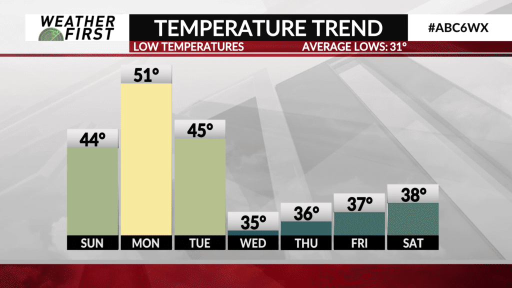
We warm back up into the low to mid 50F’s across the Weather First area through the middle and end of next week. In fact, high temperatures in the 50F’s stick with us through the entire extended forecast! Morning low temperatures each day are expected to remain above freezing the entirety of the extended forecast as well. Highly uncommon for early November!
We all know that winter is coming, and November is usually when something gives and the colder air arrives.
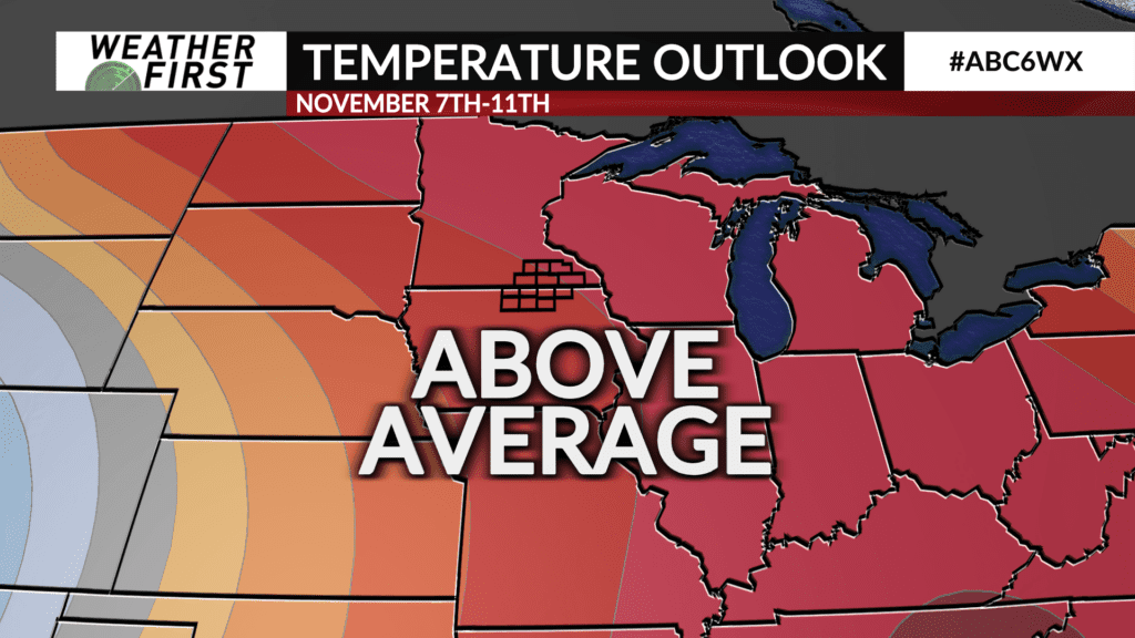
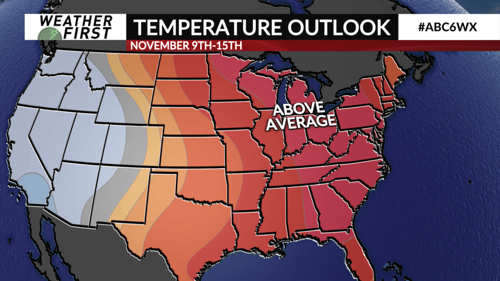
The Climate Prediction Center; however, does not anticipate this colder air arriving anytime soon. The 6-10 day forecast calls for high odds of above average temperatures across most of the central and eastern United States, taking us through early November. The 8-14 day outlook also calls for high odds of above normal temperatures across Iowa and Minnesota, taking us through the middle of November.
While temperatures are cooling down noticeably, it appears at this time that we will continue to outpace the average high temperatures through the middle of November!
