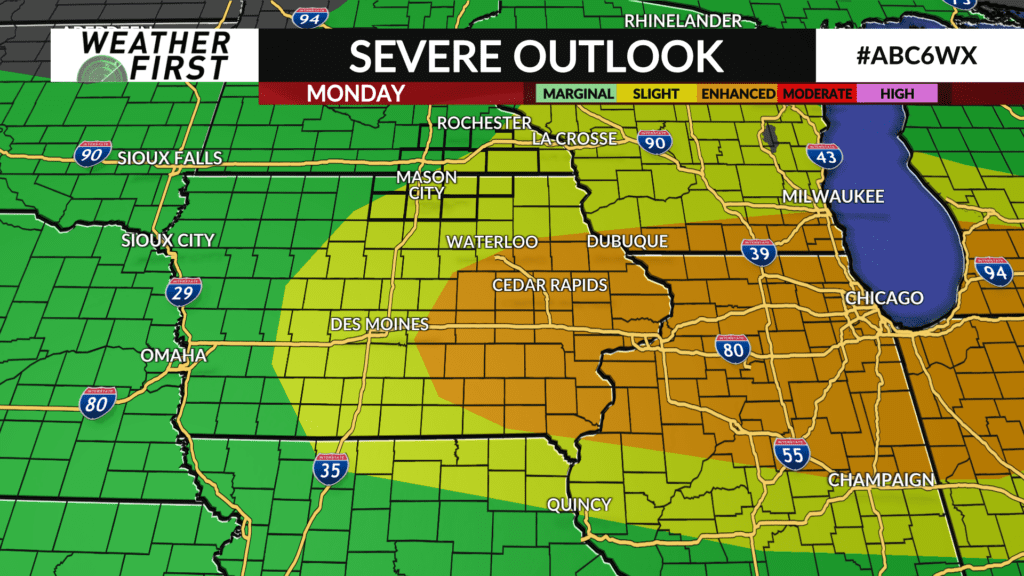
A strong thunderstorm possible Monday
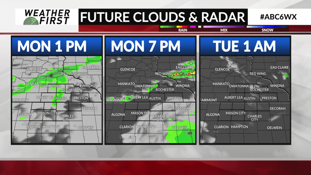
Showers are winding down across much of southeast Minnesota with a few more showers and thunderstorms possible this afternoon into the evening.
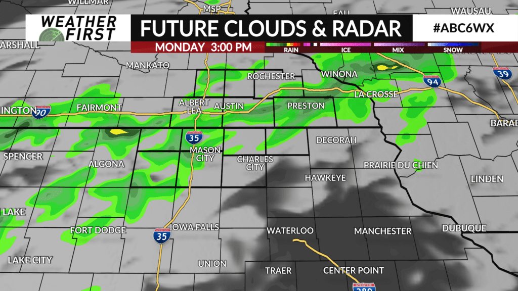
A few light showers will linger into the afternoon before a cold front approaches from the west leading to the chance for more showers and a few thunderstorms.
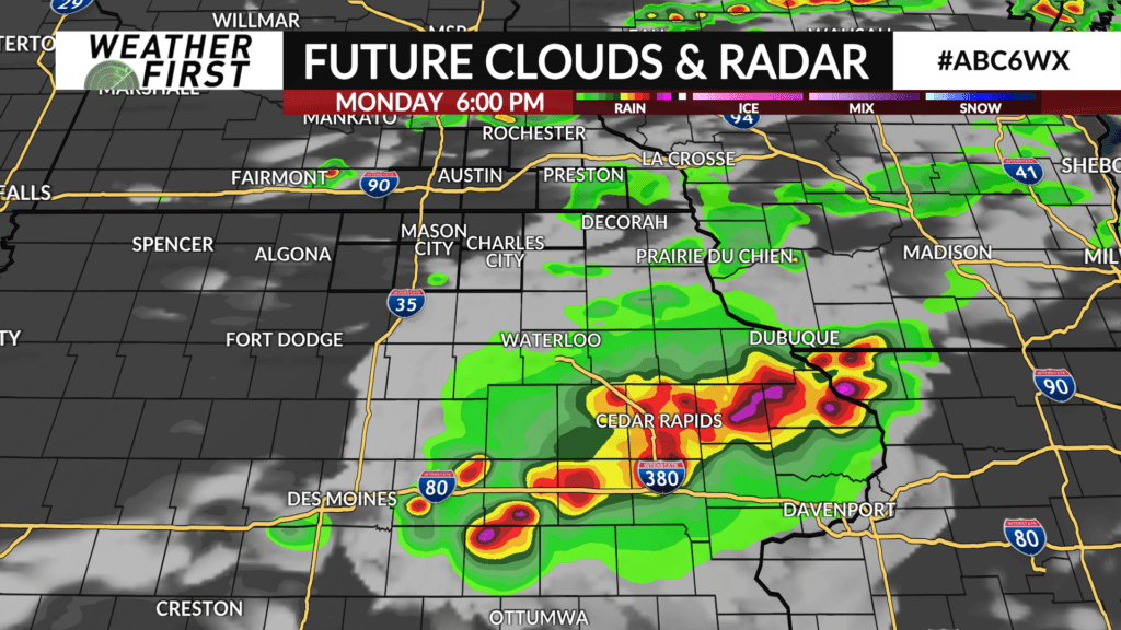
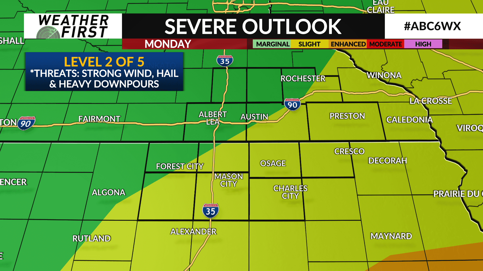
If the atmosphere can recharge after the morning rain and clouds, a strong thunderstorm is possible especially near and south of I-90 and east of I-35 with wind and hail as the main threat. Severe weather will be more likely further south across eastern Iowa.
Showers and thunderstorms will come to an end around or before sunset with gradual clearing late Monday night followed by cooler and less humid weather the rest of the week.