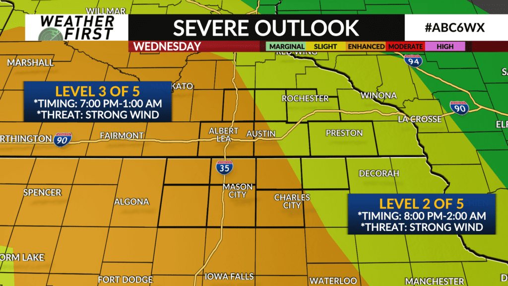
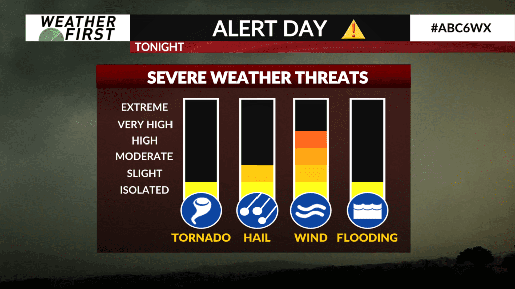
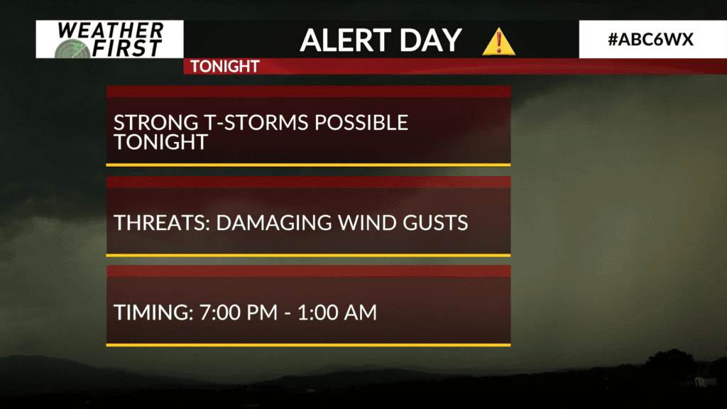
Strong thunderstorms possible Wednesday night

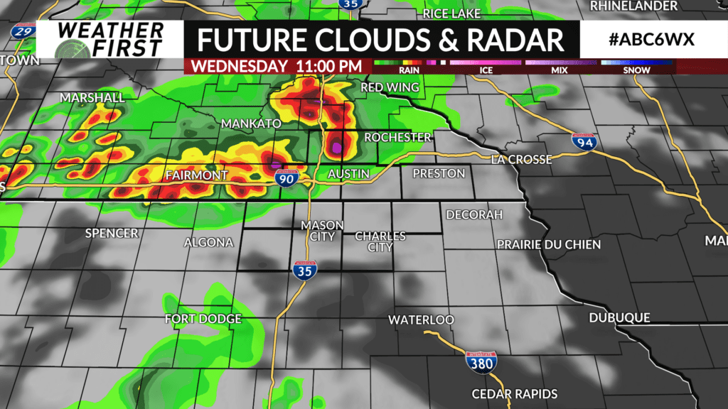
Wabasha and Winona Counties are finally free of persistent severe thunderstorm activity this evening, at least for now. Showers and thunderstorms are now making their way into the western Weather First area, and will continue eastward through the overnight hours.
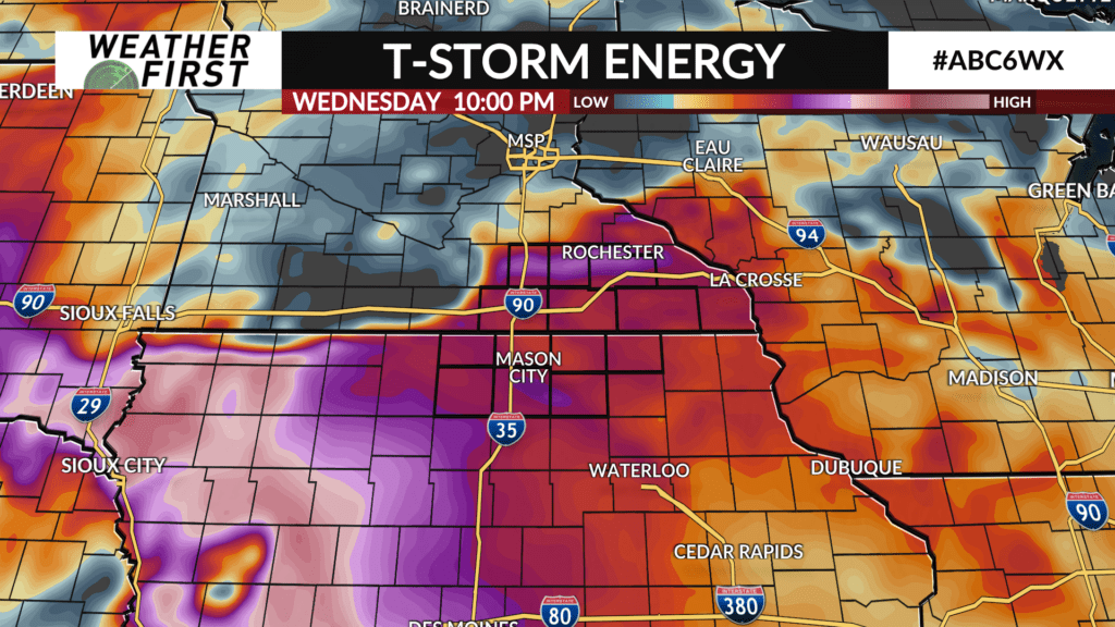
There are currently no severe thunderstorm warnings along this complex of thunderstorms, and it is hard to say if this will remain the case as the area of storms tracks across I-35 and continues east. Odds favor the storms staying below severe criteria due to the lose of daytime instability. However, cannot rule out a severe storm or two producing damaging wind gusts.
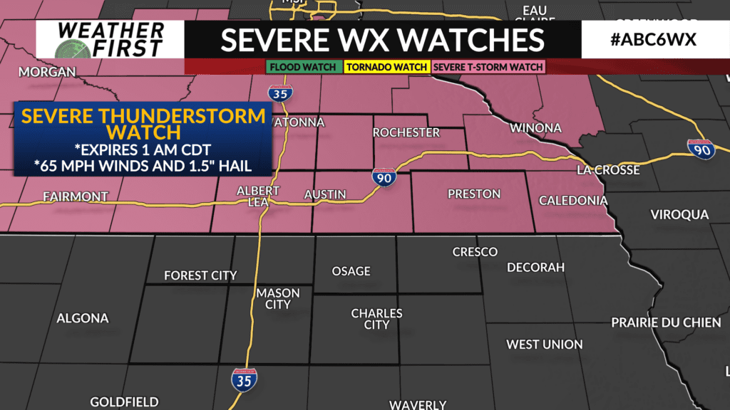
A Severe Thunderstorm Watch remains in effect until 1 AM CDT for all of the our Minnesota counties.
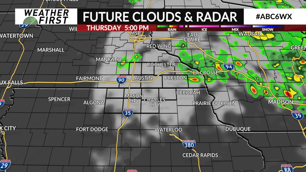
Storms should continue across our area the next couple of hours before loosing strength and tracking east. The low pressure system responsible for these storms will slow down to our north and east tonight and through the day tomorrow. As a result, storm chances remain in the forecast for Thursday, but no severe weather is expected at this time.
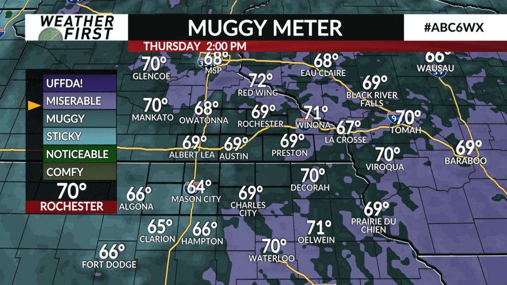
Thursday will be a much cooler day than today, with highs likely struggling to reach 80F, but dew points will remain in the upper 60F’s. There should be just enough energy for some renewed shower and embedded thunderstorm development across our area by tomorrow afternoon. Again though, no severe weather expected at this time.
We will continue to provide you with updates here on ABC 6 Weather First, check back for updates and we will send out severe weather information as needed.