Slight chance of a wintry mix Monday AM
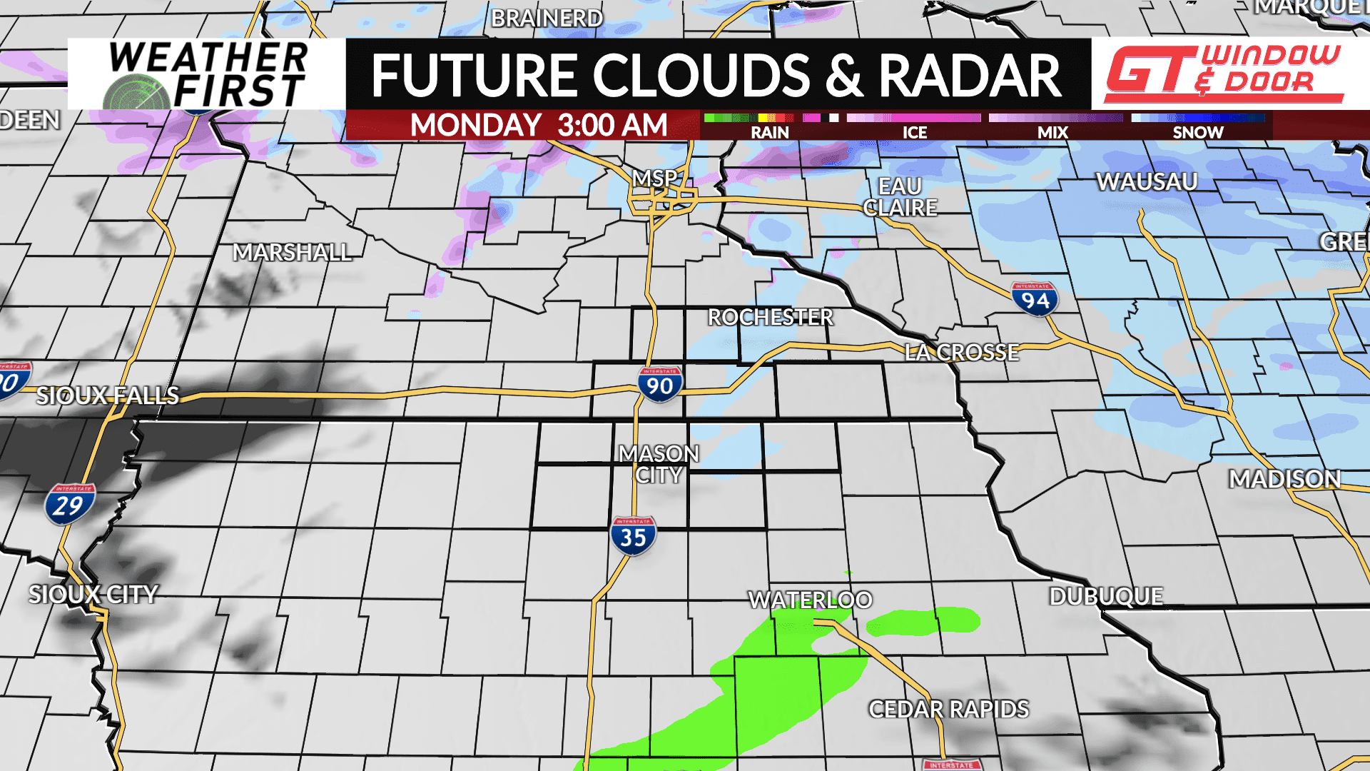
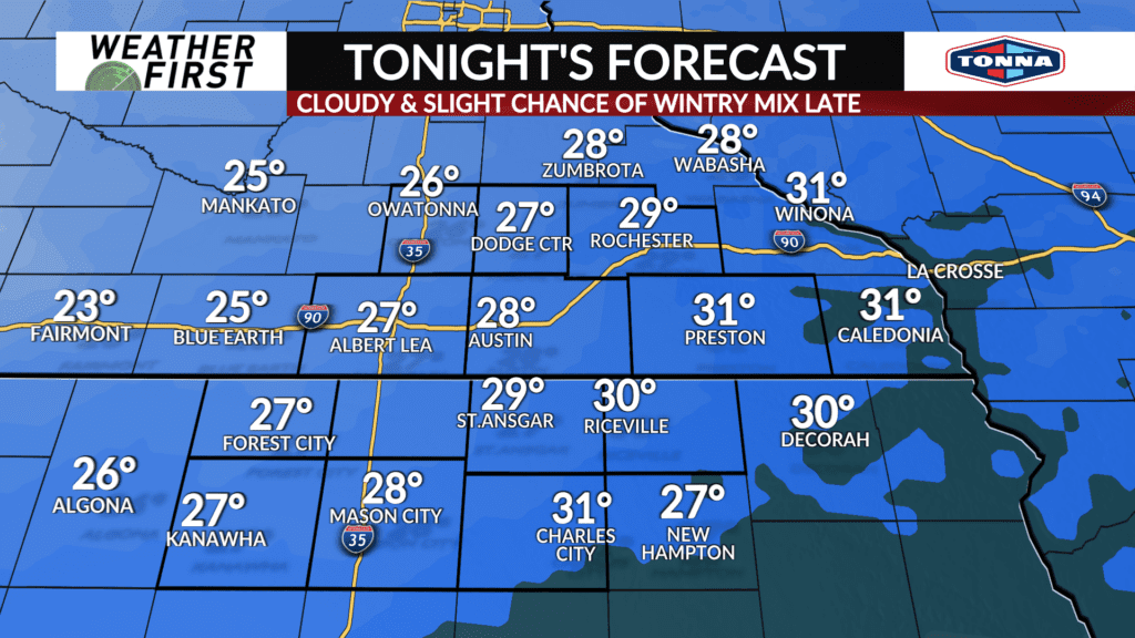
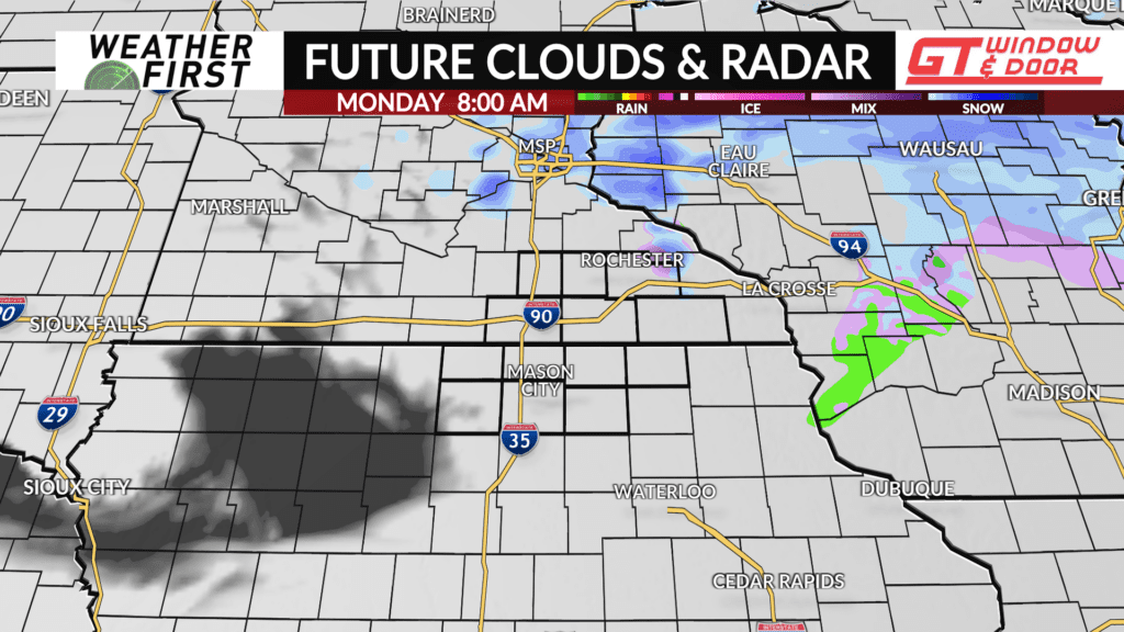
While not the highest of chances, there is a chance for some wintry precipitation across the area late Sunday night into Monday.
An amplifying, yet subtle, trough of low pressure will be tracking across the Dakota’s and Minnesota Sunday night into Monday. This trough will provide just enough forcing/lift for a scattered wintry mix tonight through Monday morning.
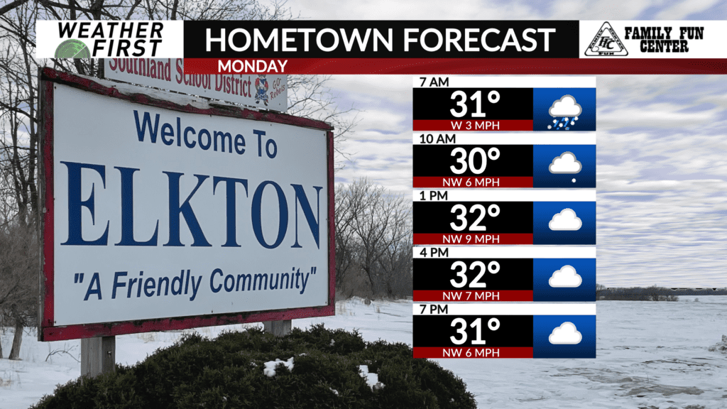
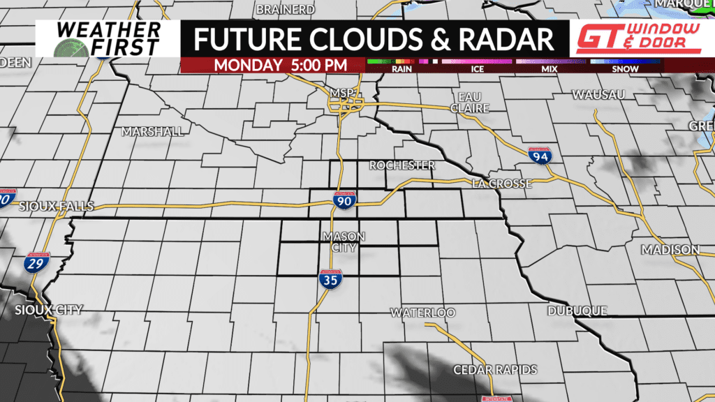
Moisture is going to be lacking with this disturbance, which will limit the extent of any wintry precipitation. As a result, not everyone will see rain/snow/sleet/freezing rain. The best chance for any wintry mix will be north of I-90 Monday morning.
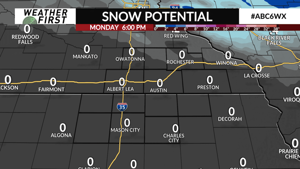
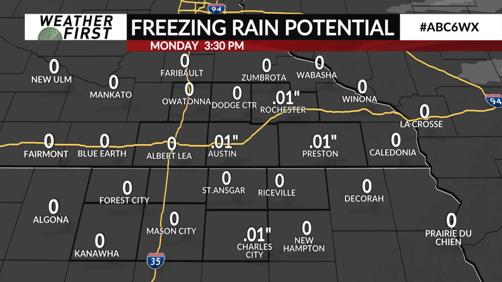
Snow accumulation will be limited to under half an inch for those that do see any snow. Ice accumulations will only be around a hundredth of an inch or so. There could be some slick spots on the roads during the Monday morning commute with any freezing drizzle and snow. As always, just be cautious!
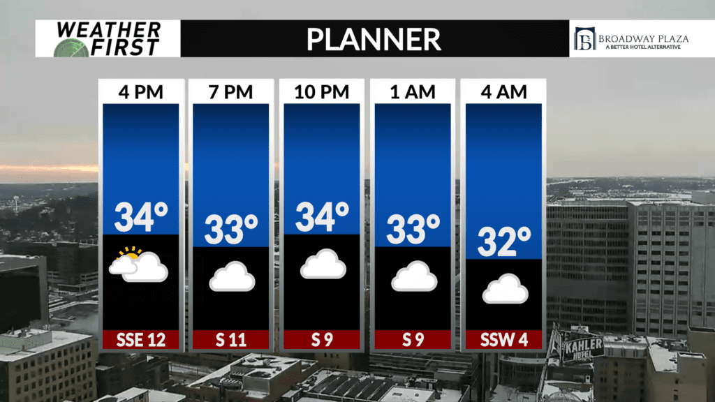
Low’s Sunday night drop into the upper 20F’s for most, with winds out of the southeast around 5 to 10 mph, shifting west after midnight. Some gusts could reach 20 mph, so it could be a bit breezy at times.
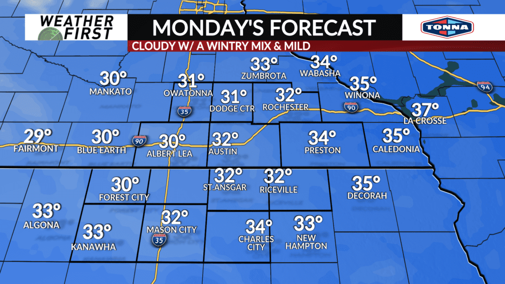
Temperatures on Monday reach into the low 30F’s across southeastern Minnesota and northern Iowa, which is a good 5F+ above average for this time of year. Winds will remain light out of northwest around 5 to 10 mph.
Once the wintry mix comes to an end, we will be left with a cloud sky, which is something we are going to see a LOT of the next several days. Not bad for late December temperature wise, though!
