Slight snow chances next week

While things look mainly quite for the time being, there will be a few chances of snow to look out for as we head into next week.
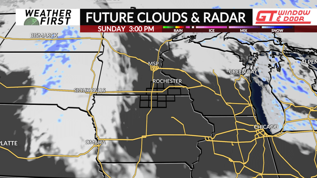
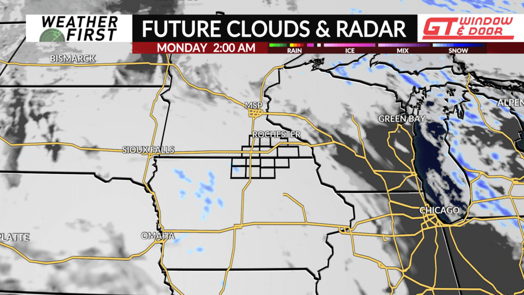
The first chance will arrive Sunday night into early Monday morning. A weak impulse of energy is expected to dive southeast across the Dakota’s and into southern Iowa Sunday into Monday. A majority of model guidance shows the system drying out and falling apart by the time it reaches our area. However, minor changes in the jet stream positioning could bring a slightly higher chance of snow north into our area.
Even if we do get snow, it will not amount to much, if anything at all. Just a quick glance before it either completely falls apart or continues to dive southeast.
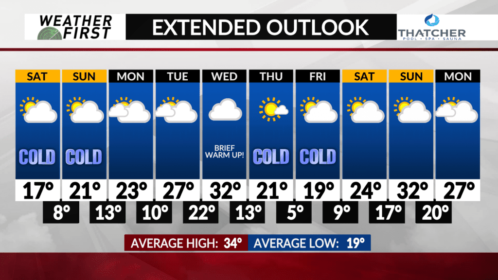
The next possible chance for snow arrives late Tuesday into Wednesday. Model guidance currently favors a storm track north of the area, with the best forcing and moisture to our north as well. Will need to watch model guidance the next few days though, as well as the jet stream, for any changes in the expected track of the low.
Any precipitation with this system would likely be in the form of snow across the area, although a few rain drops cannot be ruled out if enough warm air is able to work its way northeastward Wednesday.
The overall signal is for us to stay snowless and dry the next week or longer, but with the jet stream so close by, any little impulse of energy could result in some falling flakes if the energy passes close enough to our area.


