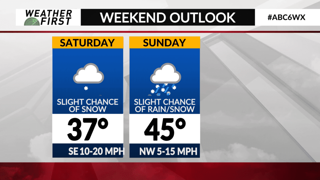
Slight snow chances this weekend
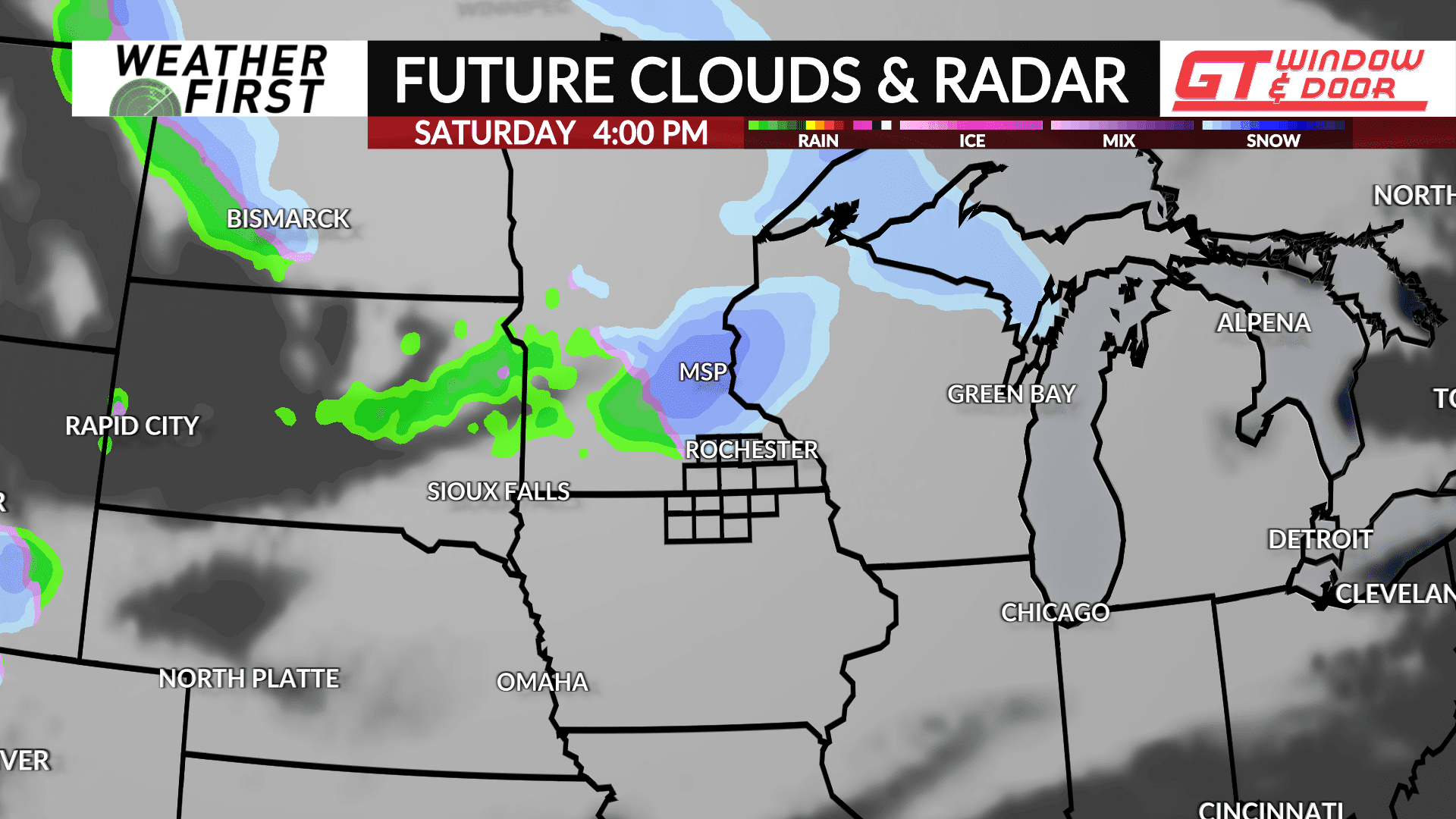
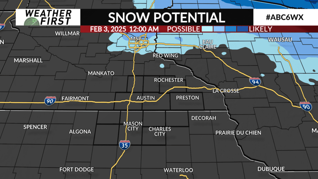
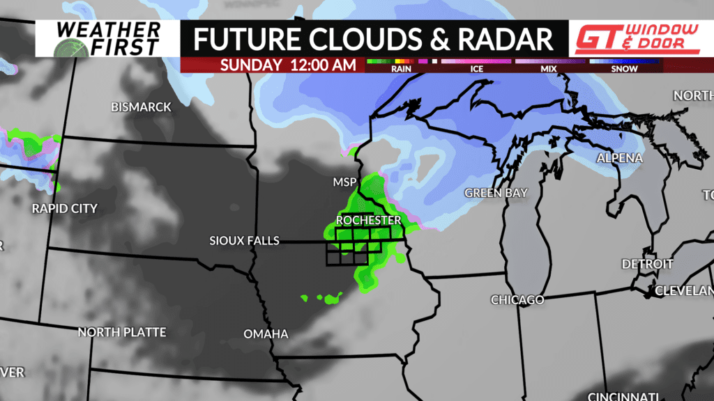
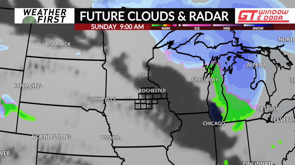
There is at least a slight chance of light wintry precipitation this weekend across southeastern Minnesota and northern Iowa. No significant snowfall is expected at this time.
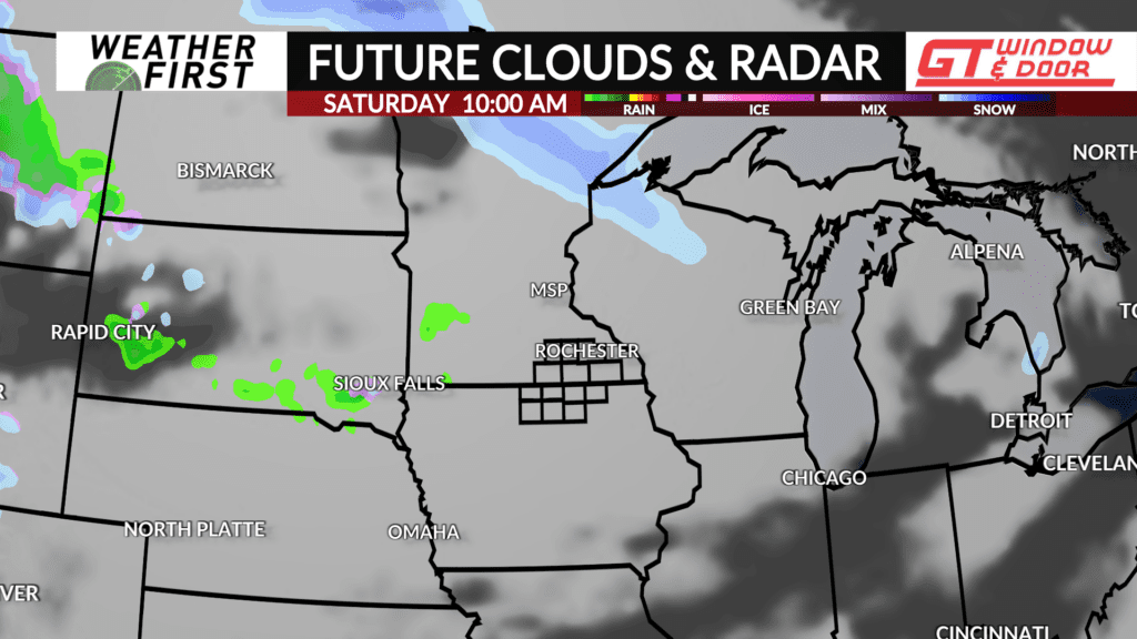
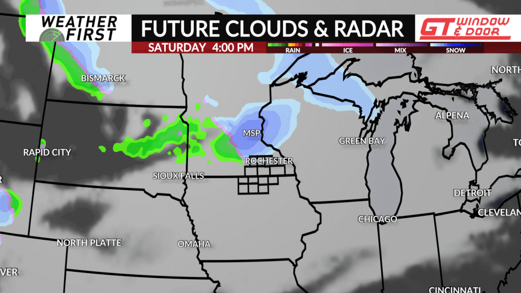
A trough of low pressure currently tracking across the North Pacific will quickly advance east over the next few days. By this Saturday, the trough will be tracking across the northern Plains, then into the Upper Midwest Sunday.
As this trough passes through, it will provide favorable dynamics for at least some light snow across the area Saturday afternoon and evening. This is not set in stone, however, as moisture content in the air Saturday is still in question.
Models agree that the best forcing and moisture supply will be to the northeast of our area Saturday. However, any southward/westward shifts could change the forecast to include a higher chance of accumulating snow. Some models also indicate that precipitation may also be in the form of rain. This will depend on how warm surface temperatures are and how warm the air just above the surface is. A lot to consider!
Model guidance also differs on the potential for rain and snow Sunday. While odds still remain low for significant precipitation regardless, we’ll be keeping an eye on this system as the weekend approaches, and will have a better idea of what may happen within the next 24 hours or so.
Current model guidance does not have any accumulating snow for us yet, but again, this could change quickly if there are any trends to a more moisture rich environment across our area. Stay tuned!