Snow chances increasing Wednesday

Chances are increasing for a return of widespread snowfall across portions of our area Tuesday night into Wednesday…
A deepening trough of upper level low pressure is expected to swing across the Midwest Tuesday night and Wednesday. Upper level winds will be forced to diverge aloft, leading to high levels of lift at the surface across our area, especially northern Iowa.
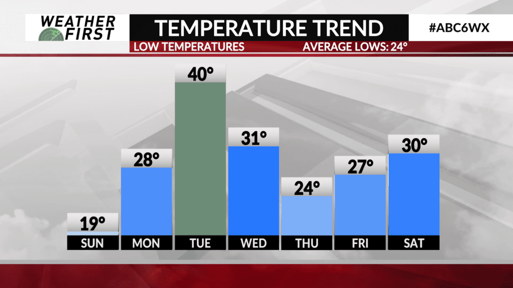
Temperatures will be much cooler as cold air associated with the backside of the trough races southeastward Tuesday night and Wednesday. This will result in precipitation with this event being primarily in the form of snow. Just when we thought winter was over…
When it comes to snow totals, this is still a work in progress. Model guidance is in good agreement that there will be a narrow band of heavy snow that will develop across portions of northern Minnesota and southern Minnesota. The exact location of this heavy band and who will see the highest snow totals is impossible to nail down this far out. As of right now, the best chances for heavier snow look to remain along and south of I-90.
Regardless, some degree of snowfall is expected to take place across southeastern Minnesota and northern Iowa Tuesday night into Wednesday. The safe bet at this time is that most locations will see at least an inch or two of snow. If current model trends hold into early next week, however, these may need to be adjusted upward significantly…
We will be tracking this system very closely over the next few days, and will provide updates as they come. For now, this is just something to keep an eye on, so stay tuned!