Snow chances remain small in the days ahead

The winter season so far has seen a few cold spells, but has lacked appreciable snow as the storm track has been largely setup across the central and southern part of the country.
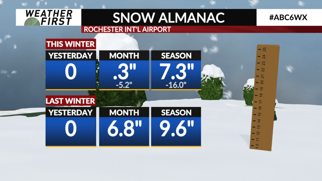
So far through January 15th, the Rochester International Airport (RST) has measured 7.3″ of snow which is around 16″ below average. At this time one year ago, RST had measured 9.6″.
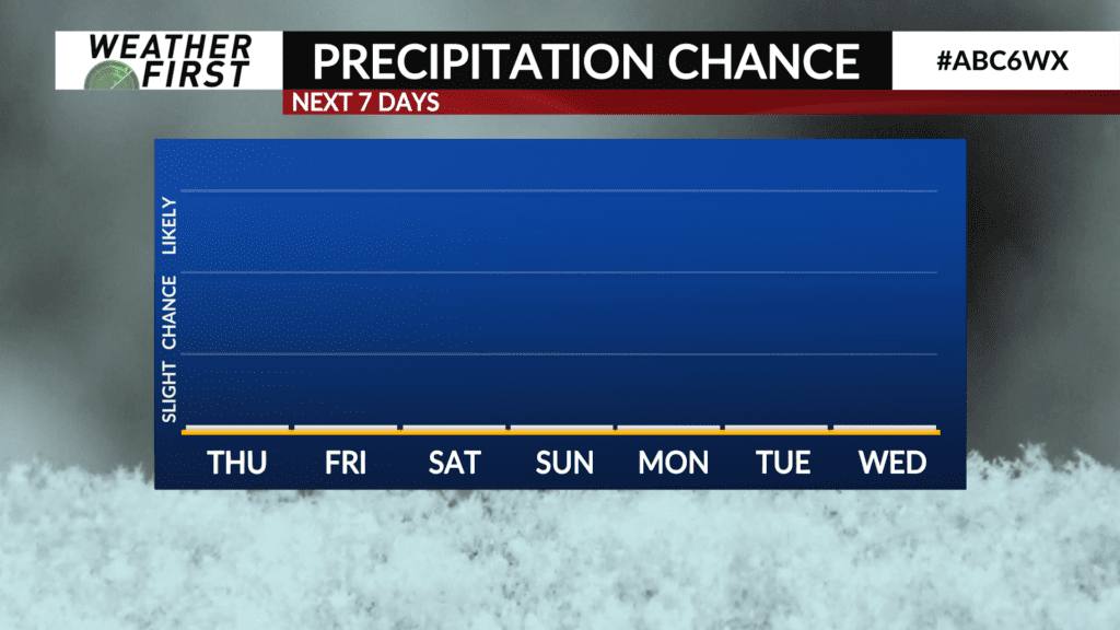
The weather pattern over the next several days continues to keep the storm track south, however the upper-air flow will be predominately out of the northwest, so that’ll open the door for passing clipper systems which will bring small chances for light snow or flurries at times.
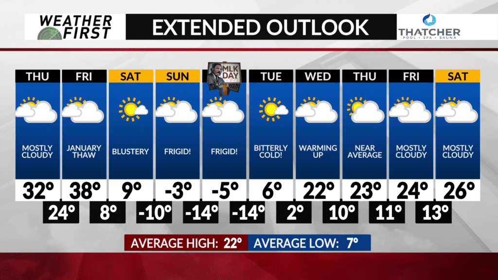
An Arctic front will slide through on Friday evening which may pop some flurries as the colder air rushes in.
Otherwise, the weather is looking quiet until the middle-to-late portions of next week when a couple of clippers systems may pass through. There is still uncertainty at this time on the overall track and timing.
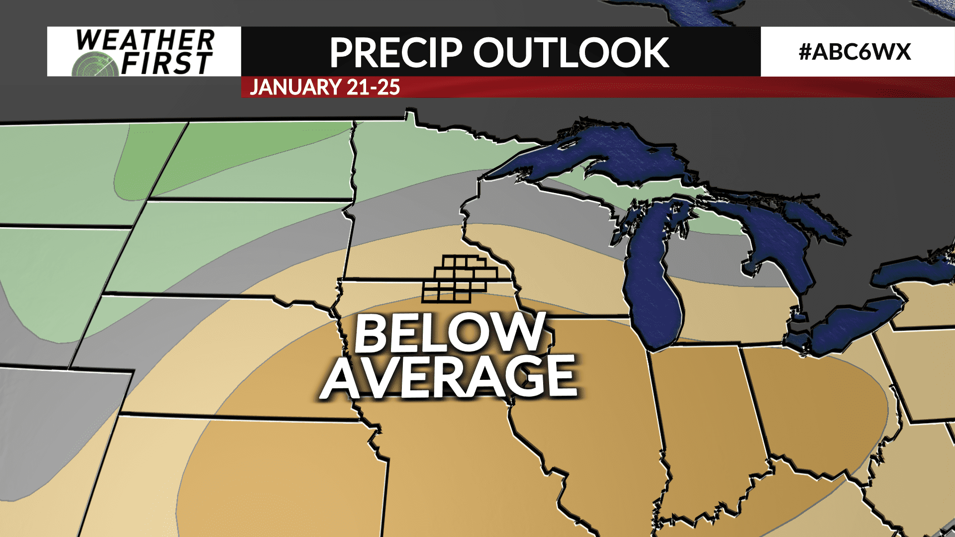
The Climate Prediction Center’s latest 6 to 10 day precipitation outlook has a high likelihood of below average precipitation across the area in the January 21st through 25th period.


