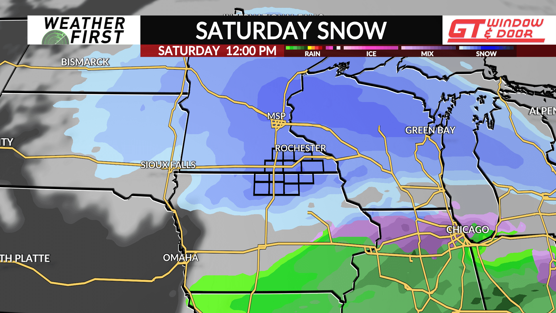
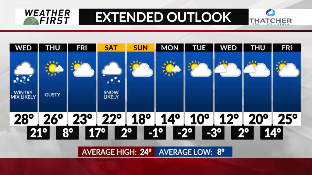
Snow is on track for Saturday

We’re in the midst of one of the least snowiest winters on record in southern Minnesota and much of Iowa, but we should be able to add a little snow to the statistics this weekend.
There is generally good agreement in model guidance for a healthy dose of snow in much of the upper Midwest from Friday night through Saturday.
At this time, the heaviest snow looks to remain to our north, but that doesn’t mean the storm system is “missing” us, at least not yet. There will be a sharp cutoff in snow on the southern edge of this storm system, and it’s going to be at least a couple more days before we get a clear picture of who wins, and who loses from this next storm system.
We will continue to have updates on this storm system, right here at kaaltv.com/weather, every day through the rest of this week.

