Storm chances as we head into Thursday

The storm system that may bring severe weather to our area this evening will still be in the vicinity tomorrow.
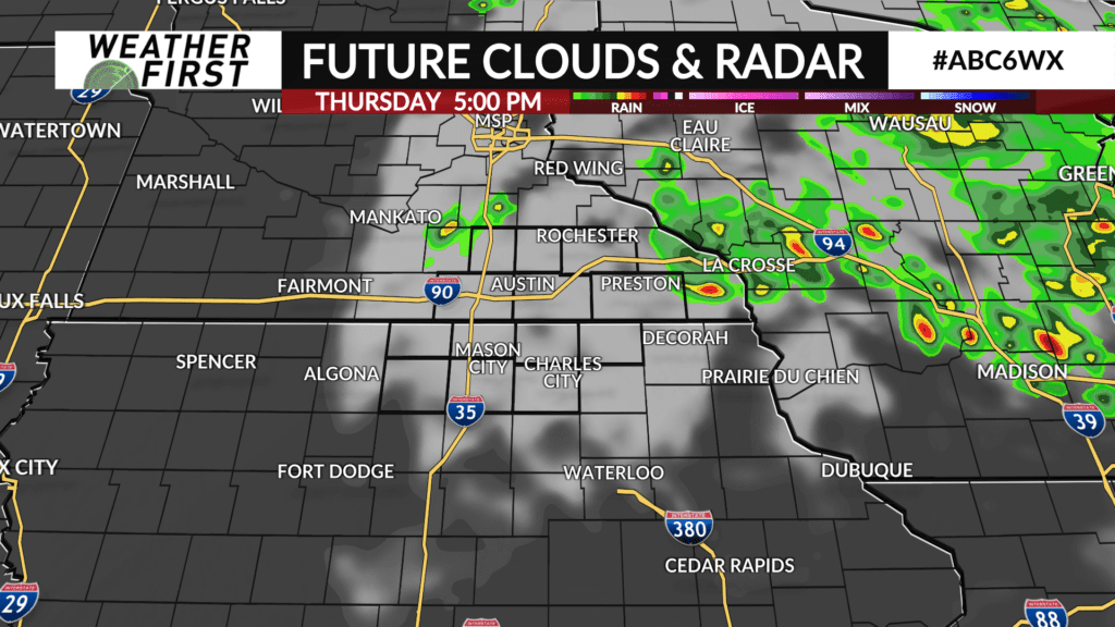
An area of low pressure will slow down to our north and east and gradually track out of the area throughout the day tomorrow. As a result, a good deal of cloud cover, along with scattered showers and embedded thunderstorms are probable.
The amount of cloud cover will significantly limit the ability of temperatures to climb much through the afternoon, and highs may not even reach 80F for some locations across the Weather First area. Dew points in the mid to upper 60F’s will certainly make it feel damp outside as well.
The severe weather threat for tomorrow is very minimal, thankfully. There will be enough energy around for a few thunderstorms to develop across the area, but due to the cooler temperatures, these storms will likely not be able to become all that strong.
By tomorrow evening, the low begins moving further east and we loose daytime instability. As a result, shower and storm chances quickly diminish as the sun begins to set. Skies will clear out through the evening, and things will be much more quiet than they may be tonight.