Very cold this weekend, warmer next week
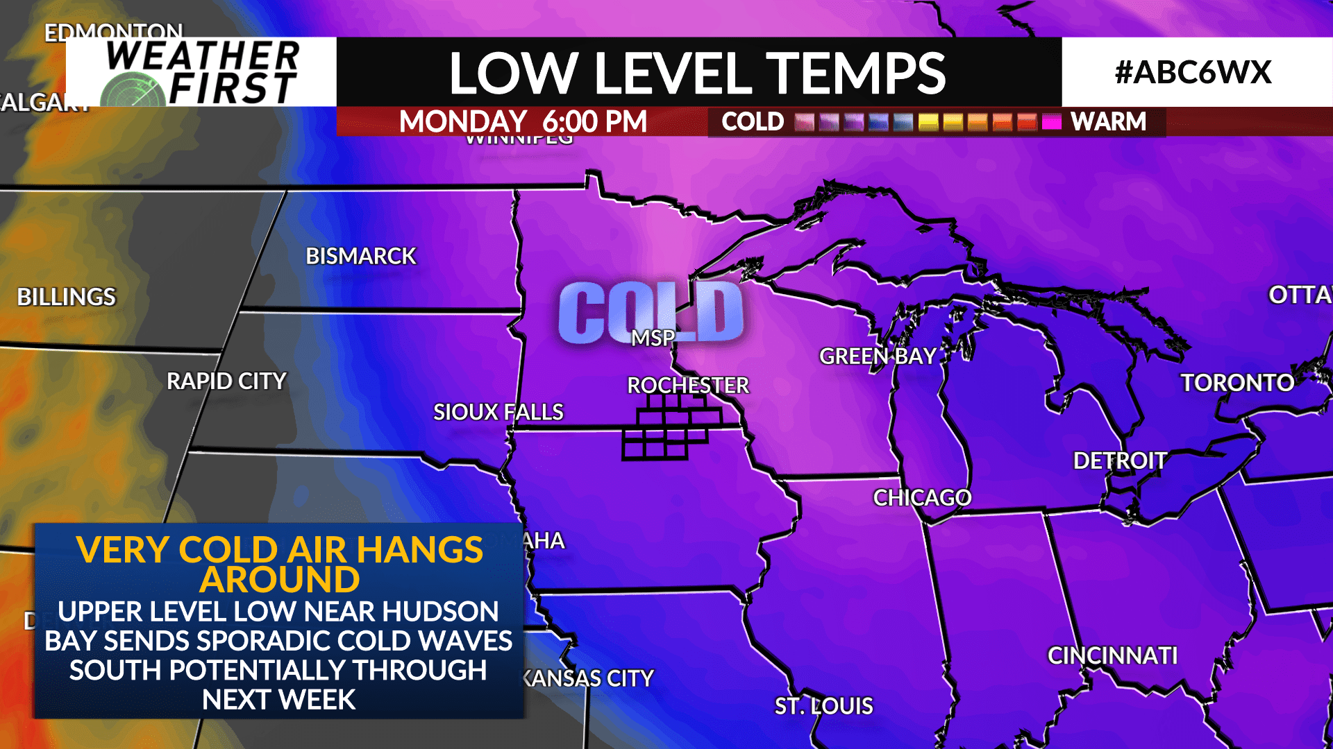
The main weather story the next few days is going to be the cold…
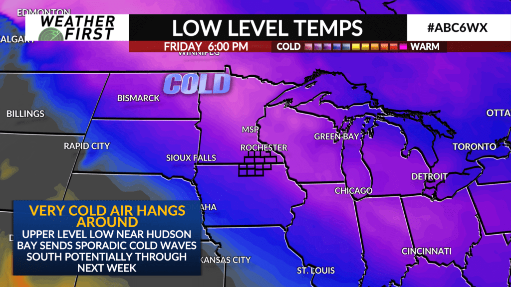
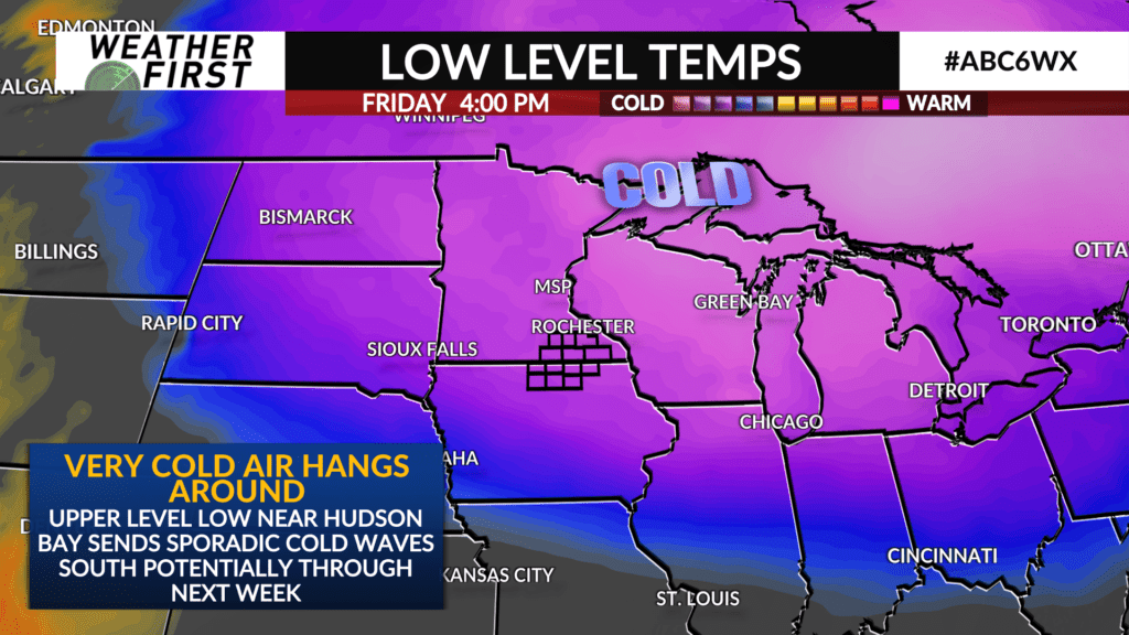
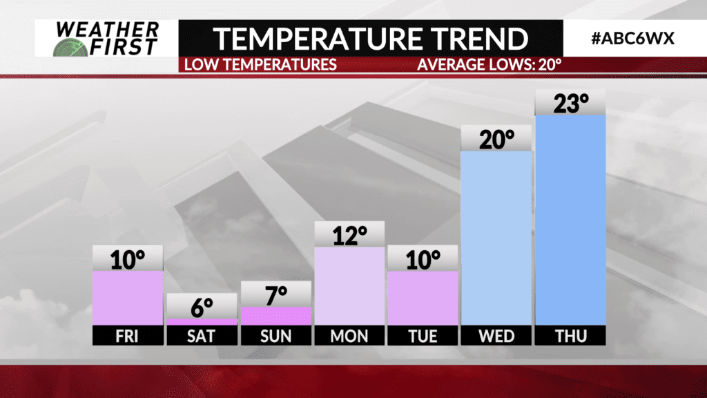
Temperatures are dropping quickly to the northwest as gusty northwest winds bring cold, arctic air down from Canada and eventually into our neck of the woods late tonight and into Friday morning. Overnight lows will be in the single digits for most, with Rochester and Preston being the exceptions.
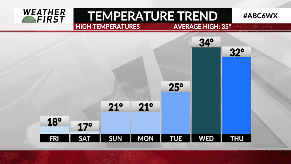
Highs Friday will only reach into the upper teens to low 20F’s, with wind chill values near or just below 0F Friday morning. Winds will still be breezy out of the northwest, gusting up to 25 mph at times, adding further chill to the air.
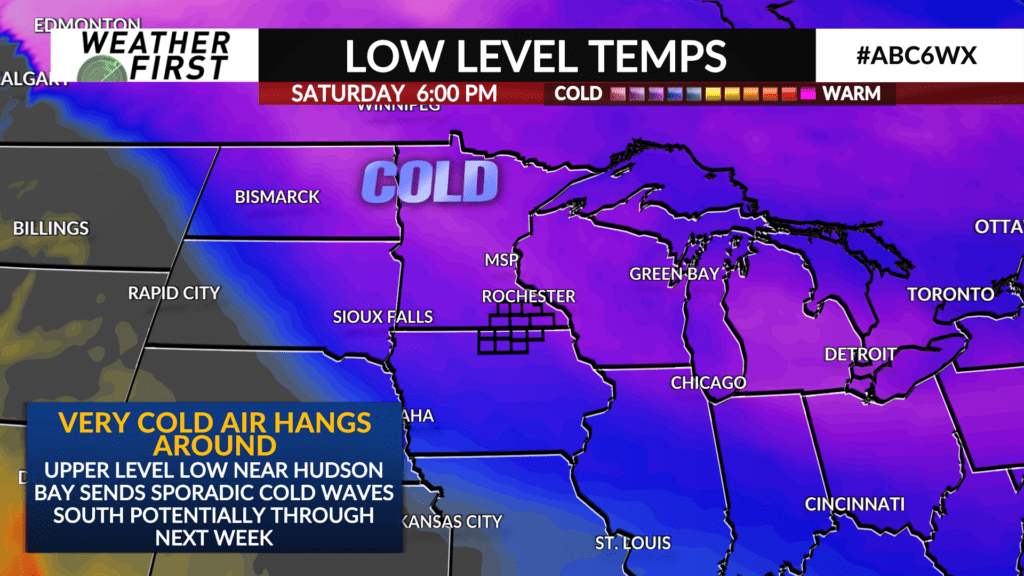
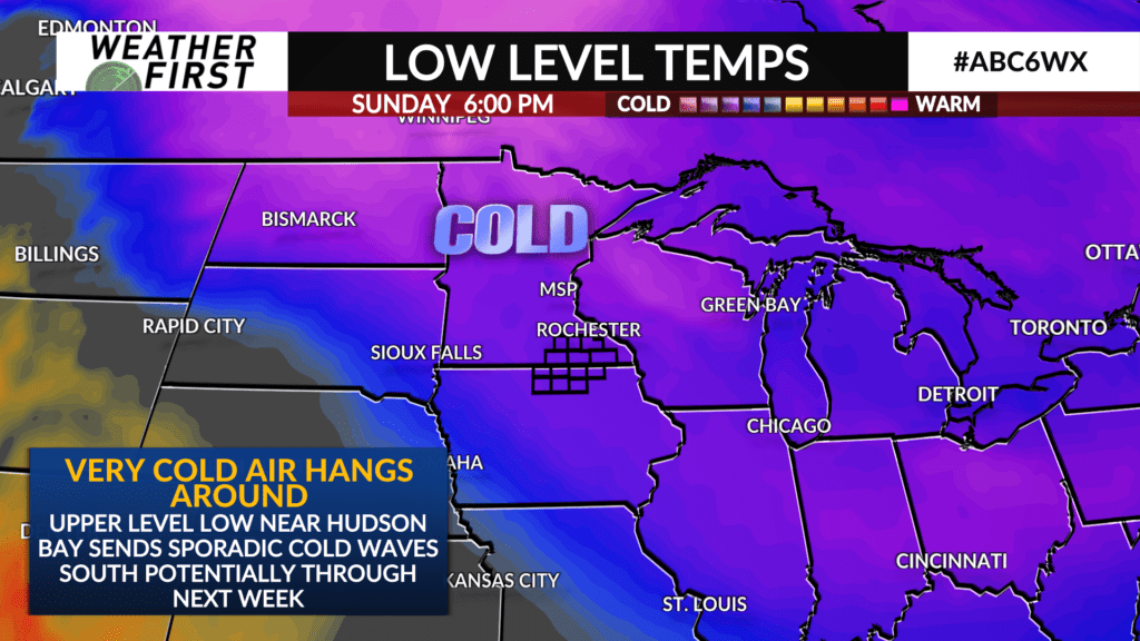
Highs Saturday will be in the mid to upper teens, with lows Sunday morning being in the single digits once again. Highs Sunday will be slightly warmer, in the low 20F’s, with overnight lows remaining in the single digits.
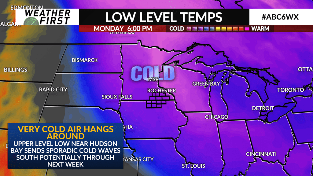
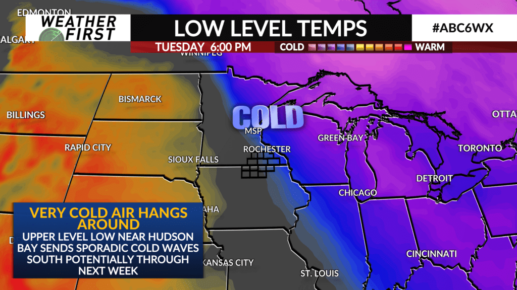
A slight warm up begins Monday, with highs in the low 20F’s, but Monday night/Tuesday morning lows will remain in the teens. Highs make it into the mid to upper 20F’s Tuesday, with overnight/Wednesday morning lows in upper teens to lower 20F’s.
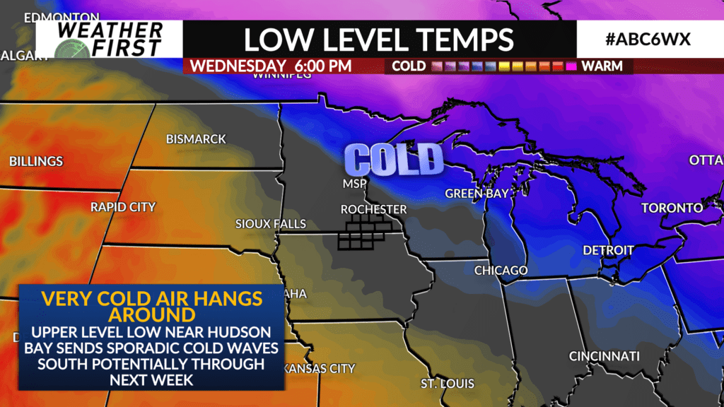
Wednesday will be the warmest day in the extended forecast, with highs in the mid 30F’s. Not exactly warm, but much warmer than the single digits!
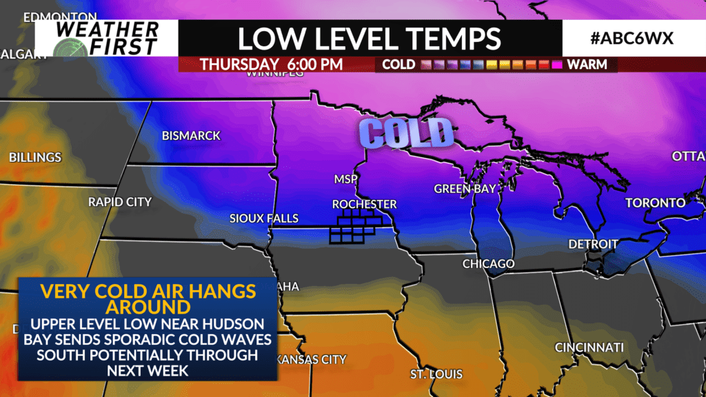
Temperatures cool down again toward the end of next week, with near single digit lows possible by next Friday morning. Still a bit of uncertainty on what things look like temperature wise next weekend, but the jet stream pattern does suggest further arctic air outbreaks may be possible sooner rather than later.
