Wet, cool weekend ahead with rain and possibly snow
A storm system will pass through the area this weekend leading to rain and possibly some snow along with colder near to below average temperatures.
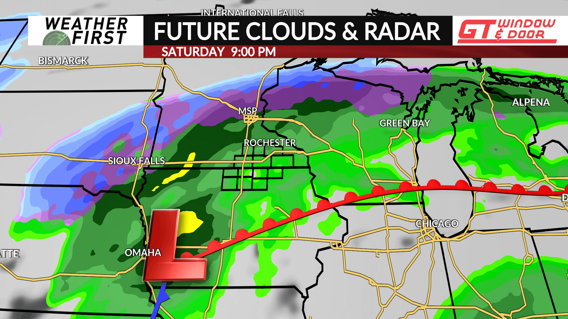
A warm front will lift north through the area on Friday leading to near record high temperatures in the 70s. The front will also be the focal point of where the heaviest precipitation is likely going to layout.
The front will begin to shift south into Iowa with a surface low pressure tracking along it leading to rain showers developing late Friday night with rain likely continuing through Saturday. Heavier downpours can’t be ruled out at times. Rain chances will continue through Saturday night. Snow will be likely across portions of Central Minnesota where temperatures will be much colder, however if the surface low tracks further south, snow would also be possible further south and into the Weather First area.
The front is expected to push a bit further south on Sunday with another wave passing through that may bring some snow on Sunday night.
Precipitation amounts over 1.00″ is possible for some areas, but that will be determined by where the front lays out and where the low pressure systems track which is still uncertain at this time. Specifics will become clearer in the days ahead.


